The weather in January was pretty unpredictable, and so once again I must pull from my backlog. In December last year, I went for a walk along the North East Line (NEL), from Farrer Park to Sengkang. To be honest. I wasn’t sure I wanted to write about this walk, for two reasons:
- I didn’t take a lot of photos. This was a walk I did before I had inkling I would want to blog about it.
- The NEL itself opened in 2003, well into the age of the Internet. As such, there’s plenty of content about it online. I didn’t think I had anything fresh to add.
But then, this isn’t a photography blog. Nor is it really a blog about history or heritage. It’s a blog about walking. I decided I’d just post what little I had, to put the idea out there that this is a walk worth considering.
Why the North East Line?
MRT lines make great ready-made walks. Sometimes you feel like going for a stroll, but don’t have a route planned. You don’t want to have to think too hard about where to go, or how to navigate.
With MRT lines, there’s no thinking needed! With above-ground lines especially, all you need to do is follow the tracks. Even underground lines tend to run under major stretches of road, so their paths are easy to trace. On top of which, since each line runs through many different neighbourhoods, they’re almost interesting by design.
The NEL runs from Harbourfront in the south of Singapore to Punggol in the Northeast. This walk only to me part of the way from Farrer Park to Sengkang, though. This is because the section between Harbourfront and Little India cuts through the city underground in a way that is particularly hard to follow overground. The section between Sengkang and Punggol at the end is an easier walk, but I’ve done it many times. I just didn’t want to do it again.
Starting my walk at Farrer Park station
The North East Line didn’t feature very much in my life as I was growing up. This is despite the fact that it opened just as I was coming of age as a teenager. I guess none of the places on the line were places I really frequented. And even if I did visit them, I usually had other transport options.
When I was in secondary school, though, my school underwent a major renovation under the PRIME programme. For two and a half years, I attended school at a holding site on Rangoon Road. Farrer Park station was the closest station to school. Even though I still didn’t have many reasons to take the NEL, just by virtue of that proximity, it became the station I most connected with that part of my life.
In a way, it’s appropriate that I began my walk at Farrer Park. Farrer Park marks a kind of beginning for the North East Line too. That’s where the groundbreaking ceremony for the NEL took place, with Mr Mah Bow Tan, then Minister for Communications, giving a speech.
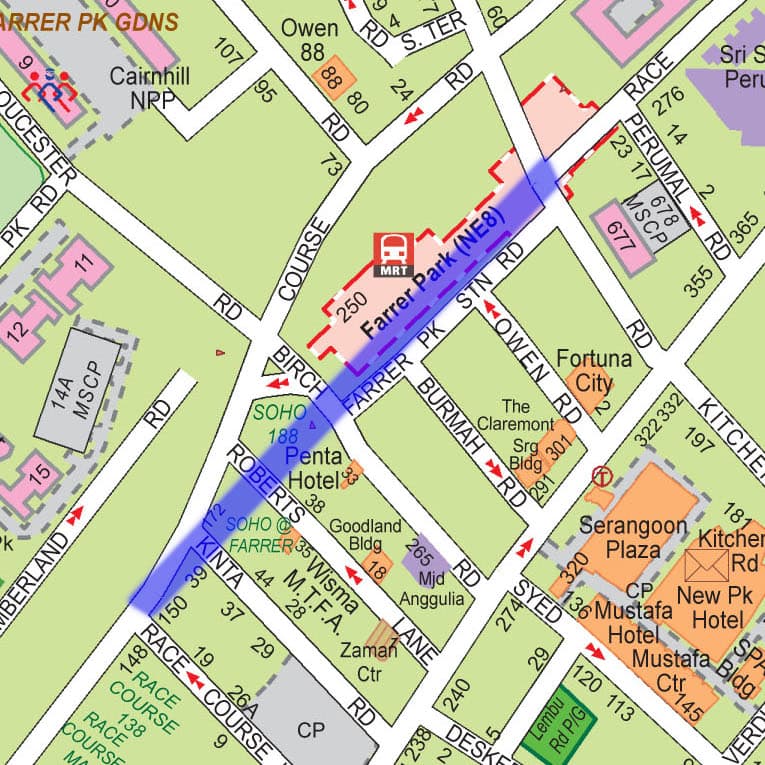
The Race Course Road split
An interesting fact about Race Course Road is that it had to be split in two, to make way for Farrer Park Station. Looking at this 2007 street map, you see that the station sits directly under where the road used to run (marked in blue). During construction, the road was diverted slightly to the east, connecting to Tessensohn Road. That is why there’s a gap in the road along Kitchener Road today.
Walking the North East Line
I won’t go into great detail on the route. As I start at the start, I didn’t know I was going to blog about this walk when I did it. There were lots of interesting things to see, but I didn’t take any notes. The route itself is pretty straightforward, but there are some things worth pointing out.
Farrer Park to Potong Pasir
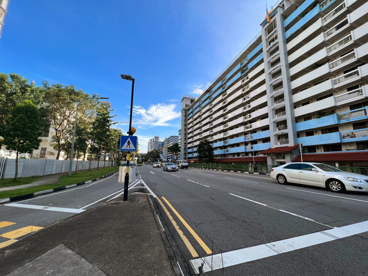
Past Farrer Park, the North East Line follows Race Course Road all the way to the junction with Balestier Road. There, it bends slightly to the right and follows Serangoon Road instead. Here I made a detour onto Bendemeer Road, as I’d walk this stretch of Serangoon Road before. If you’re keen to follow the NEL exactly, follow Serangoon Road all the way to the PIE.
Because of that detour onto Bendemeer Road, I didn’t quite pass by Boon Keng Station. I did get a nice peak down the covered Bendemeer Shopping Mall as I walked by it. It was also a treat getting a whiff of the freshly-roasted coffee at Yew Seng Coffee Roaster under Block 30.
The flyover under the PIE where I rejoined the NEL is a real mess. Called the Woodsville Interchange, it is the meeting point of not two, not three, but four major roads: Serangoon Road, Bendeemer Road, MacPherson Road, and Upper Serangoon Road. The NEL continues running northward here under Upper Serangoon Road, so make sure you take that one.
Potong Pasir to Hougang
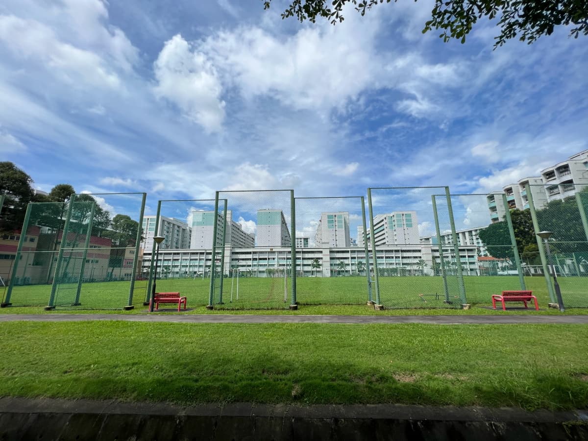
The stretch between Potong Pasir and Kovan is fairly uncomplicated. The North East Line runs under the road pretty much the entire way. Once you pass Kovan, though, take note. The NEL turns off Upper Serangoon Road at about the point it meets Hougang Avenue 2. It’s hard to follow it here, because it passes under private property, and then Hougang Bus Park. I took the corner around Hougang Avenue 4 instead, enjoying a quick break at Realty Park.

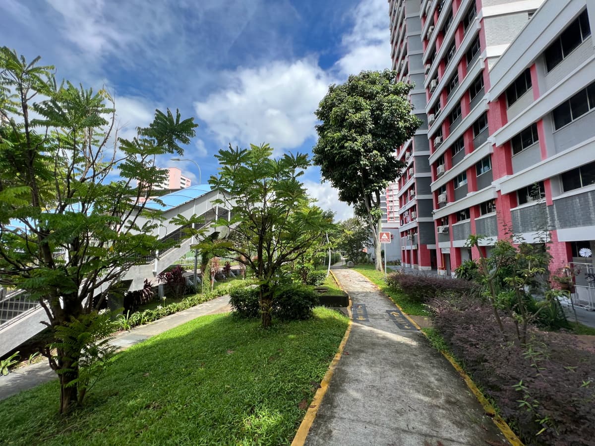
The NEL then crosses under the field directly to the west of Hougang Central Hub. I could have walked down Hougang Central and followed the path of the NEL over th at field. Instead, I crossed under some of the flats at Hougang Central, and walked along the canal on Avenue 10. I found that a bit more interesting.
Hougang to Sengkang
The rest of the way to Sengkang is once again straightforward. From Hougang Central, the North East Line crosses under Hougang Avenue 10. From there, it proceeds to run under a series of long, linear green spaces along Avenue 6. In fact, these green spaces probably exist precisely because the NEL runs under them. This is a great example of how things happening beneath our feet can shape the urban landscape above ground, revealing their presence to those who know to look.
At Buangkok Drive, the North East Line crosses under a canal connecting to Sungei Pinang, a branch of Sungei Serangoon. Along it runs Serangoon Park Connector, which makes a nice walk, taking you to Punggol Park. The NEL continues down Sengkang Central, under Compassvale Drive and Sengkang Square, and arrives at Sengkang Station, where this walk ends.

Optional: Finishing the North East Line
I ended my walk here and headed home, but if you wanted to, you could push on to where the North East Line actually ends, at Punggol. The NEL runs almost exactly under the LRT tracks between Sengkang and Punggol stations. Note, however, that you won’t be able to follow the LRT tracks across the Tampines Expressway. Instead, follow the LRT tracks to the end of Sengkang Sculpture Park. Then turn left and head towards Sengkang East Road, crossing the expressway there.
Across the expressway, the NEL and the LRT tracks run Punggol Linear Park. Unfortunately, the Ecopolitan condominium stands in your way, and prevents you from rejoining them there. Instead, head down Punggol Way, turning right on Punggol Field, then left again at the Linear Park when you arrive at the tracks.
Walk details
- Date: Wednesday, 21 December 2022
- Distance: 12.82km
- Time Taken: 2 hours 8 minutes
- Accessibility: Passable, but not great. Almost entirely paved. However, there are short stretches scattered throughout the route that run along old shophouses, which may have steps or uneven floors. PMD-users may end up travelling on the roadside in such cases. This is true especially along Race Course Road, near Serangoon station, and just past Kovan Station after Tampines Road. The route also crosses many small side streets, so that there are stretches where you would be constantly mounting and unmounting curbs. Finally, I take several shortcuts under HDB blocks, which may be tricky to navigate efficiently on a PMD. In the map below, I omit as many as I can without deviating too far from my actual route. All the above should be avoidable with detours, but may require some forward planning. (This route was walked before I knew I was going to blog about it. Please see my accessibility statement)
Red: Route walked
Purple: Path of the North East Line
Orange: Optional extension from Sengkang to Punggol
Leave a Reply