After three consecutive blog posts about walks from my backlog, finally, here’s one that I did this year. On 23 Feb 2023, I went for a walk around what I’m going to call “University Road Estate”. I have no idea if this is its official name. I wasn’t able to find one, even though I’m sure one exists.
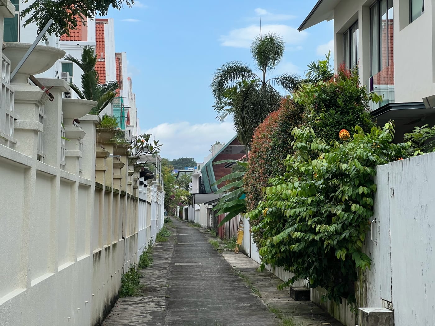
There isn’t much to say about this walk. I went for a walk in roughly the same area late last year, and noticed an alley way between two rows of houses on Jalan Unggas and University Walk. I have a minor fascination with such interstitial urban spaces. The route I was talking at the time, and the fact that it was close to dinner, meant I didn’t get to explore it at the time. I decided I had to come back. So here we are.
This walk begins at Stevens MRT station, but could just as easily begin at Botanic Gardens station. It winds its way through some of the landed housing estates at the corner of Adam and Dunearn Roads. It ends at the bus stop after the Japanese Association.
Dunearn Road to University Road Park
From Stevens MRT station I walked westward along Dunearn Road in the direction of Adam Road. This bit of the walk is, frankly, unremarkable, and might be skipped. I only did it because this is a stretch of road I hadn’t walked before. I wanted it on my map.
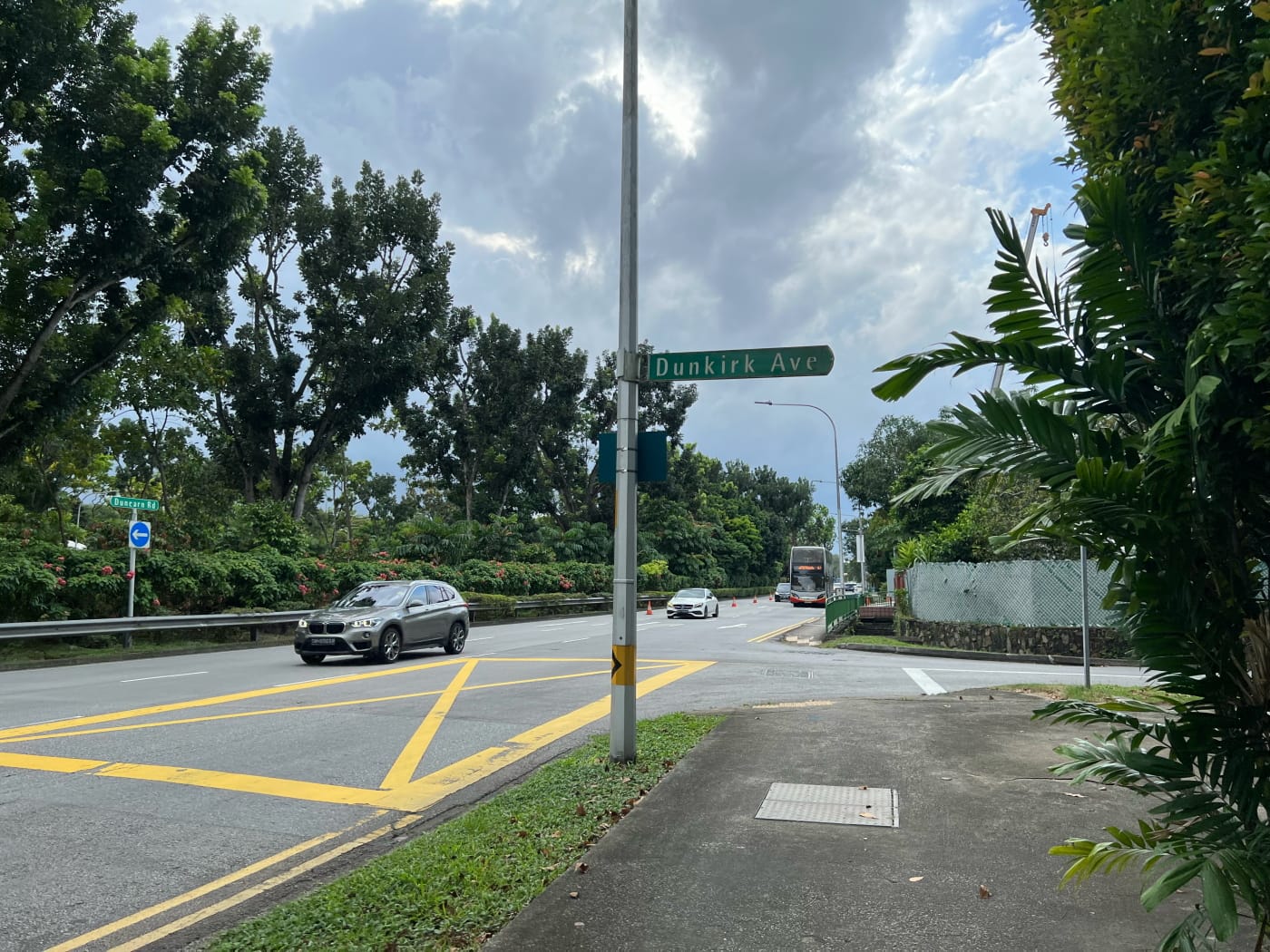

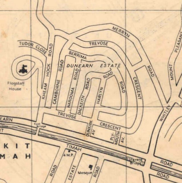
Along the way, I passed by Plymouth Avenue and Dunkirk Avenue. Both are very short streets leading into Dunearn Estate. I’d already explored this estate before, and so skipped it this time. It’s a pretty neat estate, though, and worth a visit if you have the time. It’s pretty old, appearing in the 1954 edition of the Singapore Street Map. On the NUS Department of Geography’s Historical Maps of Singapore page you’ll find its streets already described in 1911.
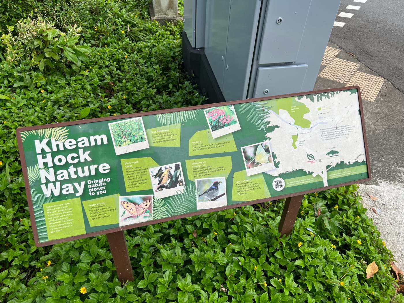
Another point of interest I walked by was the Kheam Hock Nature Way. This runs the length of Kheam Hock Road, and is planted with carefully selected trees and shrubs to facilitate the movement of wildlife between the Central Catchment Area in the North and the Botanic Gardens in the south. NParks maintains a network of these nature ways across the island.
University Road Park and College Green
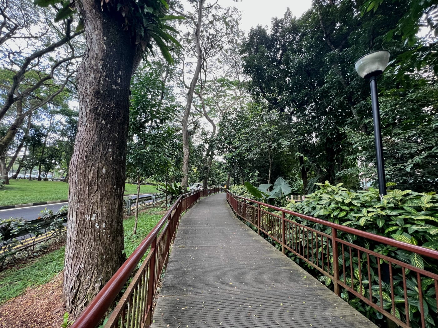
It didn’t take me long to get to my objective for the afternoon: the alley between houses Jalan Unggas and University Walk. Despite being the whole premise for the day’s walk, I spent barely five minutes walking its length. At its northern end was University Road Park, a quiet neighbourhood park I’d visited before.

After a brief pause to enjoy the park and the lovely sound of children’s laughter from its playground, it was time to push on. I followed University Walk south onto University Road, then back down to Dunearn Road. Continuing westward, I passed the main entrance to College Green Hostel.

I’ll link to the hostel’s website in case you’re interested in reading more about it. The hostel was opened in 1952 for students of what was then the University of Malaya. Today, it is leased by the Lee Kuan Yew School of Public Policy and is home to graduate students across NUS, but especially the LKY School. Apparently, former President S R Nathan was a resident here, and the website describes it as “a hotbed of political activity” in the 60s and 70s. A better glimpse of the hostels was to be caught leaving Dunearn Road and heading down Dunearn Close.
Capitol Park estate and back onto University Road
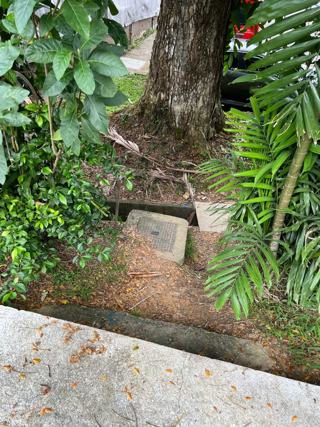
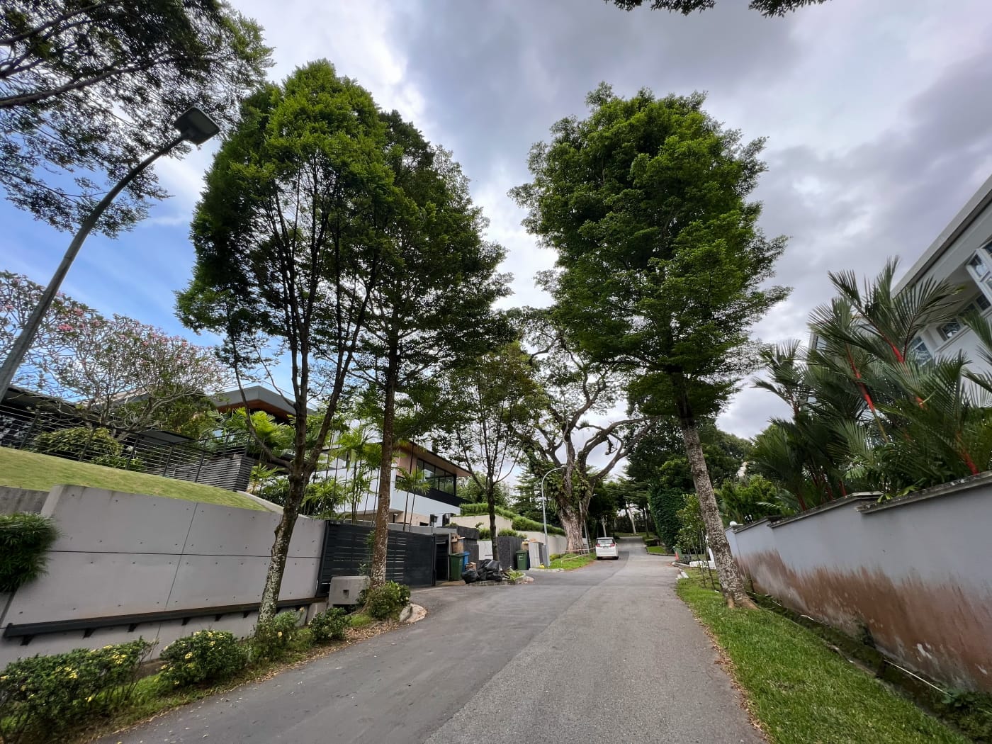
I followed Dunearn Close to its northernmost end and hopped over a drain onto Adam Road. NPark’s Coast to Coast (C2C) Trail runs alongside Adam Road. I followed it north for maybe 30m, before turning left onto Chee Hoon Avenue, bringing me into Capitol Park estate. Lots of big houses in this neighbourhood, which I wasn’t super interested in, although some of them were pretty impressive. I followed Chee Hoon Avenue to its end and found myself back on University Road.
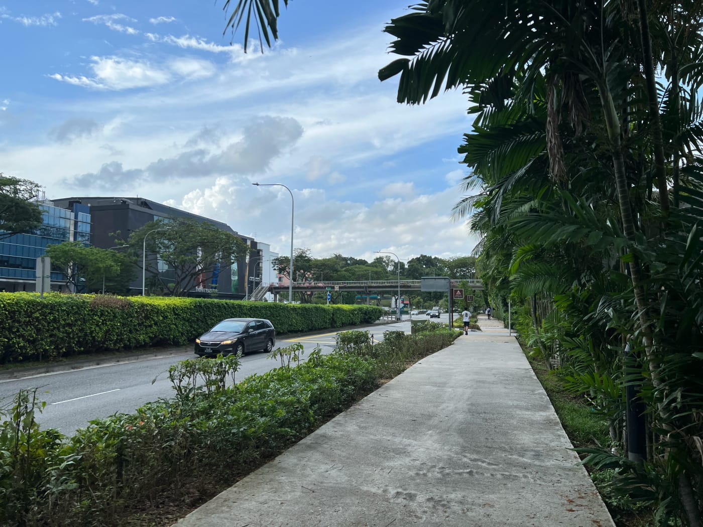
If you read my blog entry on following the NEL from Farrer Park station to Sengkang, you might be interested to learn that the Circle Line actually runs right under University Road. It curves onto University Road under College Green from Botanic Gardens station. It follows University Road to near its northern tip, then departs and crosses under the PIE towards Bukit Brown.

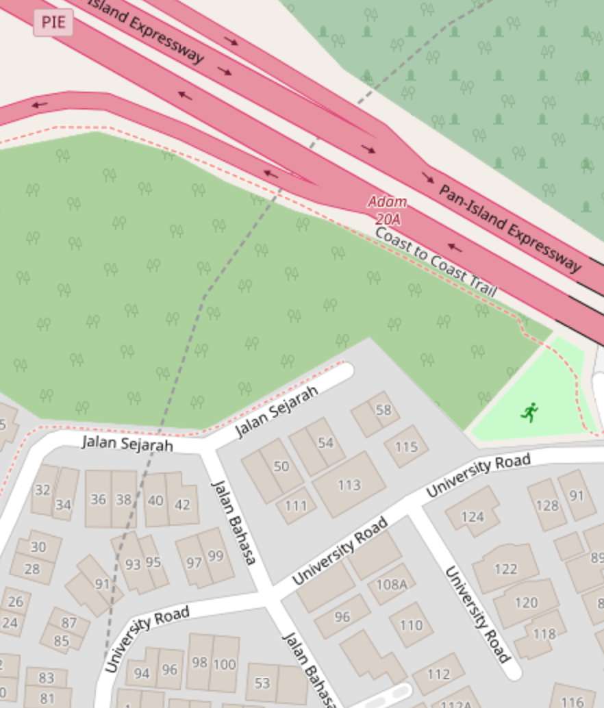
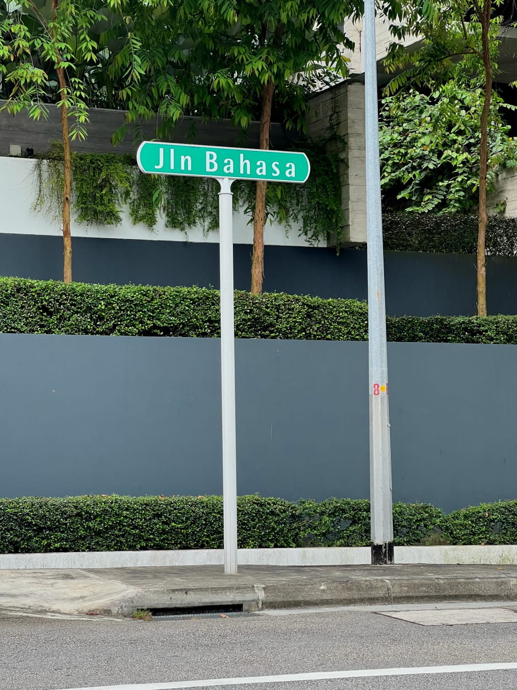
An interesting feature of this section of University Road are the street names. These are in Malay, and all relate to education in some way:
- Jalan Sejarah (“History”)
- Jalan Asuhan (“Upbringing”)
- Jalan Adat (“Customs” or “Tradition”)
- Jalan Ilmu (“Knowledge”)
- Jalan Seni (“Art”)
- Jalan Bahasa (“Language”)
Very cool.
Kheam Hock Park and the Coast to Coast Trail again
I followed University Road to its end near Kheam Hock Park, and then hopped back on the Coast to Coast Trail. Kheam Hock Park marks a sharp turn on the C2C, which continues northwards along Kheam Hock Road towards Bukit Brown. I, on the other hand, hopped on the trail southbound, following the PIE for a stretch before finding myself back on Adam Road.
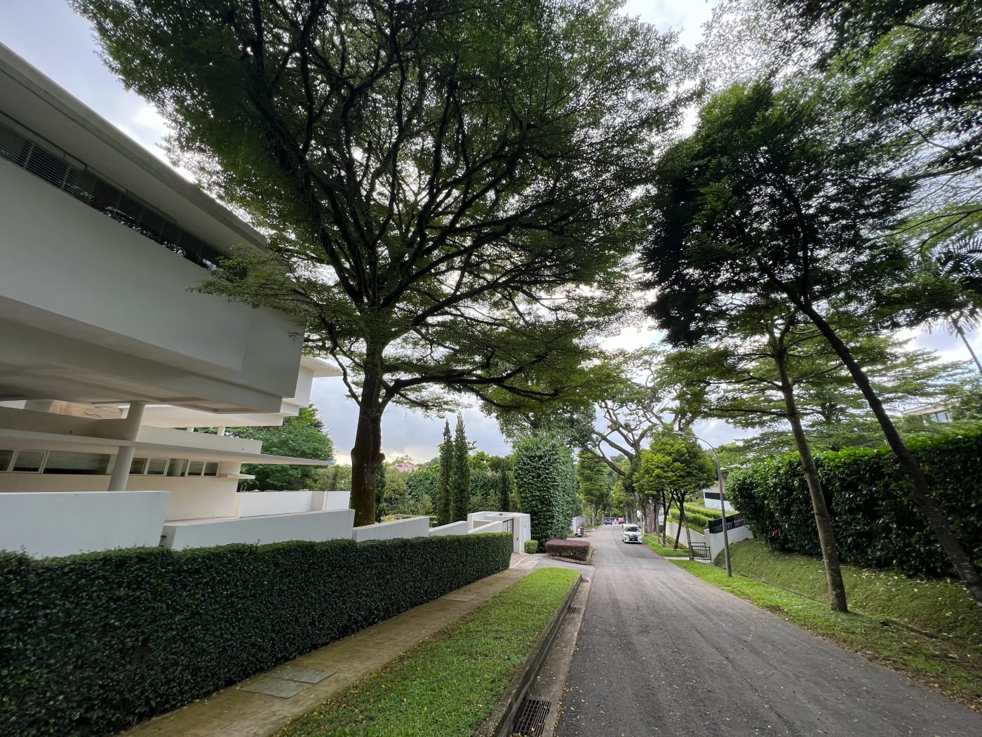
Camden Park estate
The final stretch of my walk took me through Camden Park estate. This a rather atas neighbourhood headlined, in a manner of speaking, by the Japanese Association and Hollandse Club.
The Japanese Association should be familiar to anyone spending any amount of time travelling up and down Adam Road. According to its website, the Association was established in 1915 as a mutual aid organisation for Japanese living in Singapore. It was reconstituted after the War in 1957, and took on the additional role of promoting cultural exchange. The current clubhouse was only opened in 1998.
I’m somewhat embarrassed to admit I didn’t know the Hollandse Club even existed until I passed it by this way. It was apparently established in 1908 and located off Cairnhill Road, until it moved to its present location in the 1950s.
Closing thoughts
This perhaps wasn’t the most exciting walk, but it was interesting in its own way, and an afternoon well spent. If you find yourself at the end and not quite ready to call it quits, consider exploring Adam Park and Arcadia Drive nearby. You could also make a day of it and explore Bukit Brown, accessible by Kheam Hock Road, before it’s gone forever.
Walk details
- Date: Saturday, 18 February 2023
- Distance: 5.24km
- Time Taken: 1 hours 4 minutes
- Accessibility: The stretch along Dunearn Road runs alongside heavy, fast-moving traffic. This section has lots of curbs to mount and unmount. Much of the footpath is also narrow, making it impassable to wheelchair users without going onto the road, which would be dangerous. Would recommend skipping this bit and starting from Botanic Gardens station instead. Actually getting onto the alley way between Jalan Unggas and University Walk also requires a step up. Unfortunately the alley might have to be skipped, or accessed via the northern end. I had to cross over a drain to get from Dunearn Close onto Adam Road. Would recommend turning back towards Adam Road Food Centre and making the connection there instead. Parts of Camden Park are steep, which may be an obstacle to wheelchair users. In general, much of this route is comprised of landed housing estate, and road walking is unavoidable. (Please see my accessibility statement.)
Leave a Reply