So I’d had my eye on a walk in Serangoon Garden for some time now. The landed housing estate wasn’t too far from where I lived, so it mades for a convenient walk. That and, after my walk in Braddell Heights earlier in February, I found I wasn’t quite done with Serangoon. I decided it was time to pay a visit.
Serangoon Garden: A home away from home…?
A quick search on the internet seems to suggest Serangoon Garden was originally developed in the 1950s to house British servicemen. RAF Chia Keng station was situated nearby, closing only in 1971. It seems many of Serangoon Garden’s original residents were employed there.
I wasn’t able to find any other authoritative source for this, though. Which, of course, doesn’t mean it isn’t true. Certainly the comments on the Remember SG blog post I linked to above include many by former residents who remember neighbours who were RAF servicemen. Some were even RAF serviceman themselves. Not to mention, nearly all the streets in the estate are named after places in Britain. This fits the pattern of so many other places in Singapore given names familiar to homesick colonial officers. Perhaps, like so many things in history, the truth was just a little more complicated.
…Or a solution to a housing shortage?
The sources I did find all point to Serangoon Garden being developed to address a housing shortage in Singapore. In particular, it seemed Serangoon Garden was meant to address a shortage in lower income housing. This may come as a surprise to us today, when landed housing points to the very opposite of “lower income”. But of course, this was before the days of HDB. Houses at Serangoon Garden were going at $13,500-$19,000 a pop, which apparently was cheap even for the day. Loans were extended to lower and middle incomer earners. Additional support was also provided to Singapore government officers, to encourage them to purchase their own homes
The houses were apparently built rather quickly. This newspaper article published 8 May 1952 reported that the developers had only just obtained approval to commence work on the estate. Yet by December that year, 30 houses were ready for immediate occupation, with 140 more under construction. All in all, developers planned to build 2200 homes in the estate.
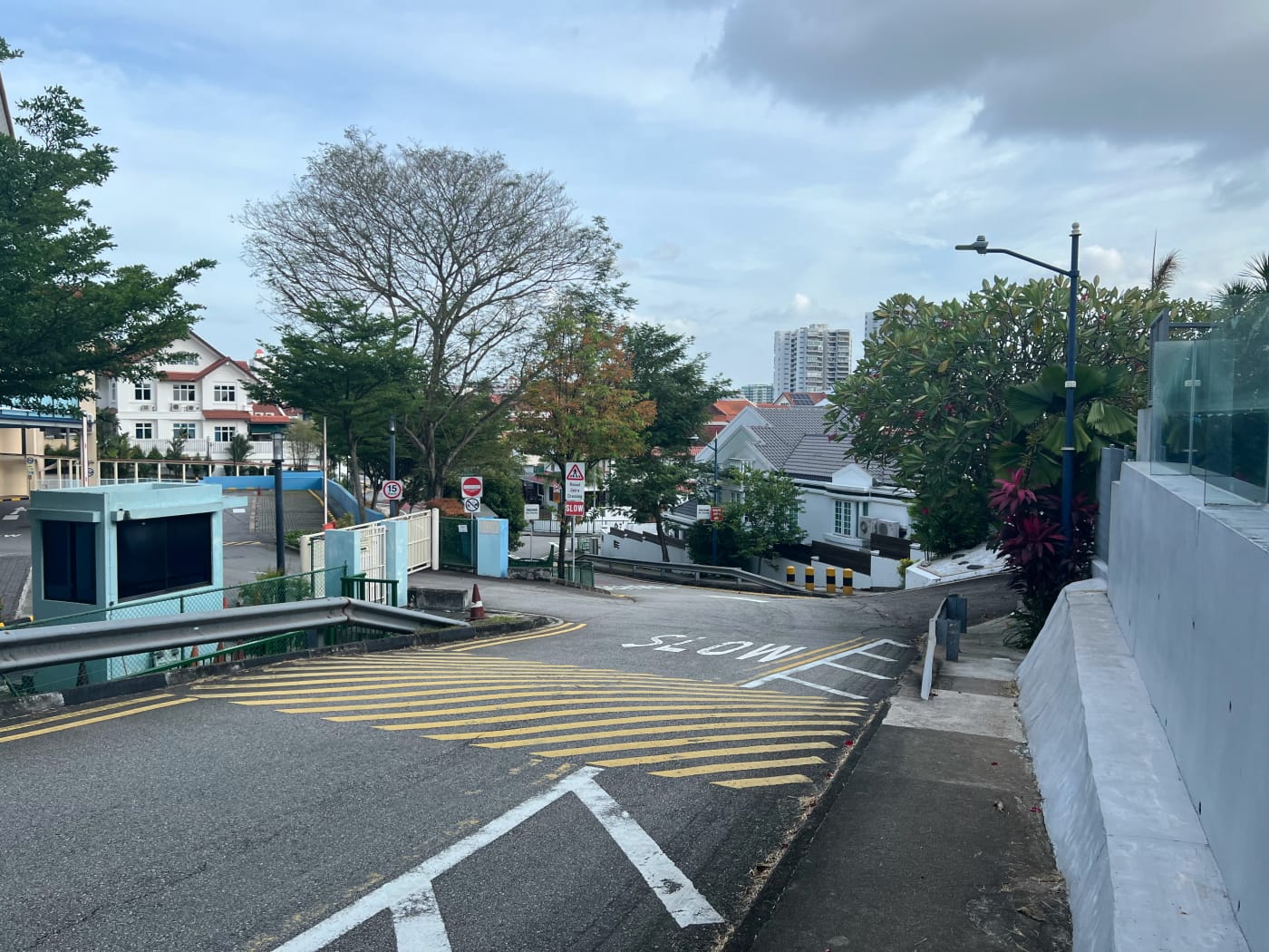
Lorong Chuan
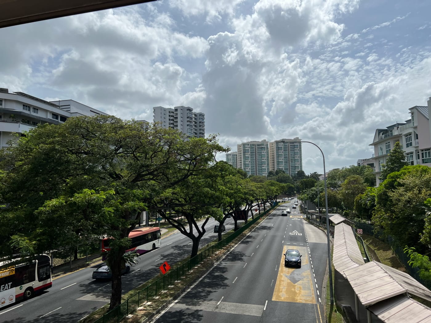
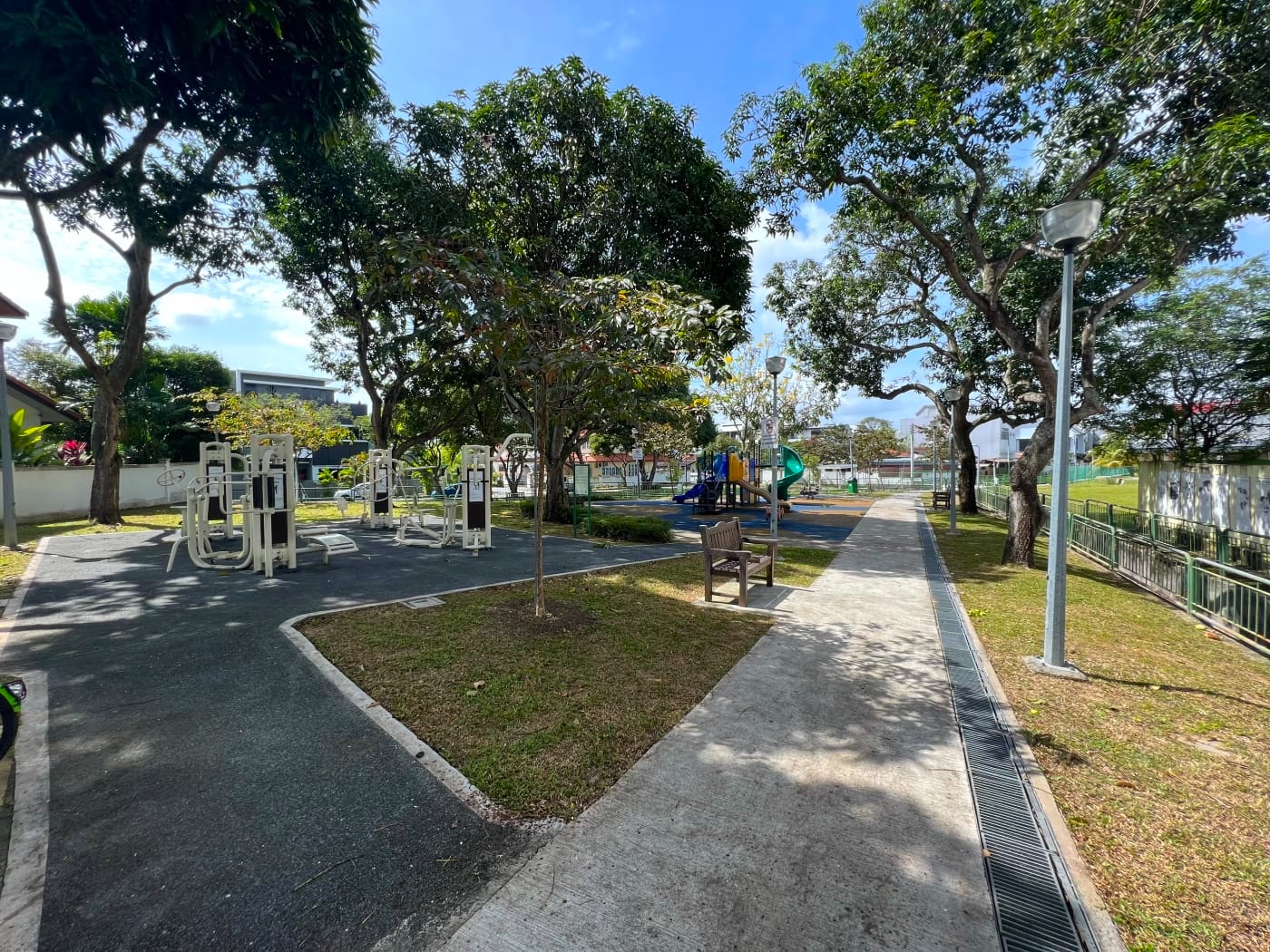
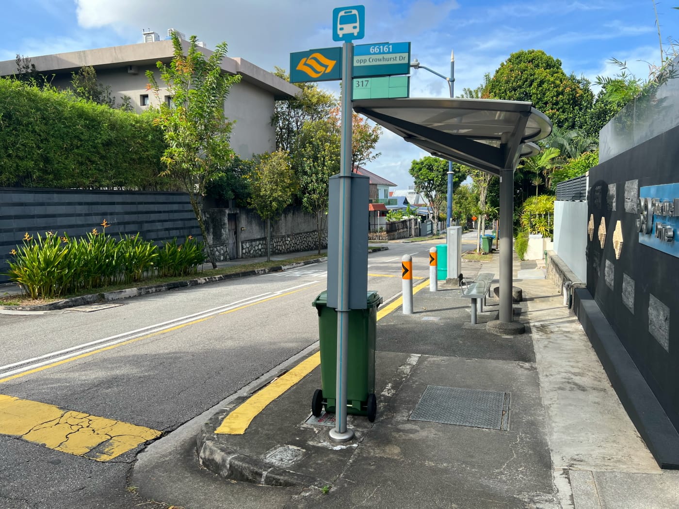
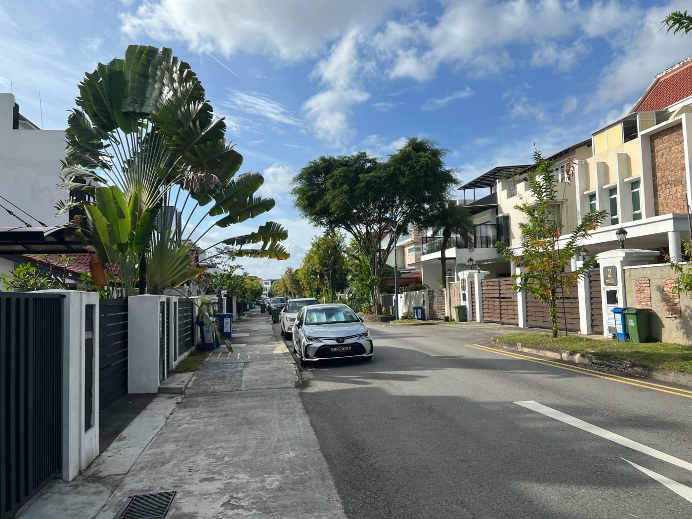
I started my walk at Lorong Chuan MRT station and followed the canal outside Exit A eastward for a short distance. Turning north through Chuan Village, I then crossed a pedestrian bridge over Lorong Chuan. I entered the landed housing estate there and headed down a street called Chuan Walk, arriving at Chuan Walk Playground. That’s a lot of Chuans in one paragraph!

Lorong Chuan supposedly gets its name from a Hokkien word meaning “spring”. The Chinese character “泉”, which you can see in the Chinese name of the MRT station, for example, bears this out. Supposedly, this name was inspired by the large number of freshwater pipes passing through the area. This is perhaps connected to the waterworks to the south in Woodleigh, which I briefly mentioned my last post. I’m not sure how convinced I am of this explanation. How does get from “pipes” to “spring”? All the same, it’s the only explanation I could find.
Colchester Park and Cardiff Walk
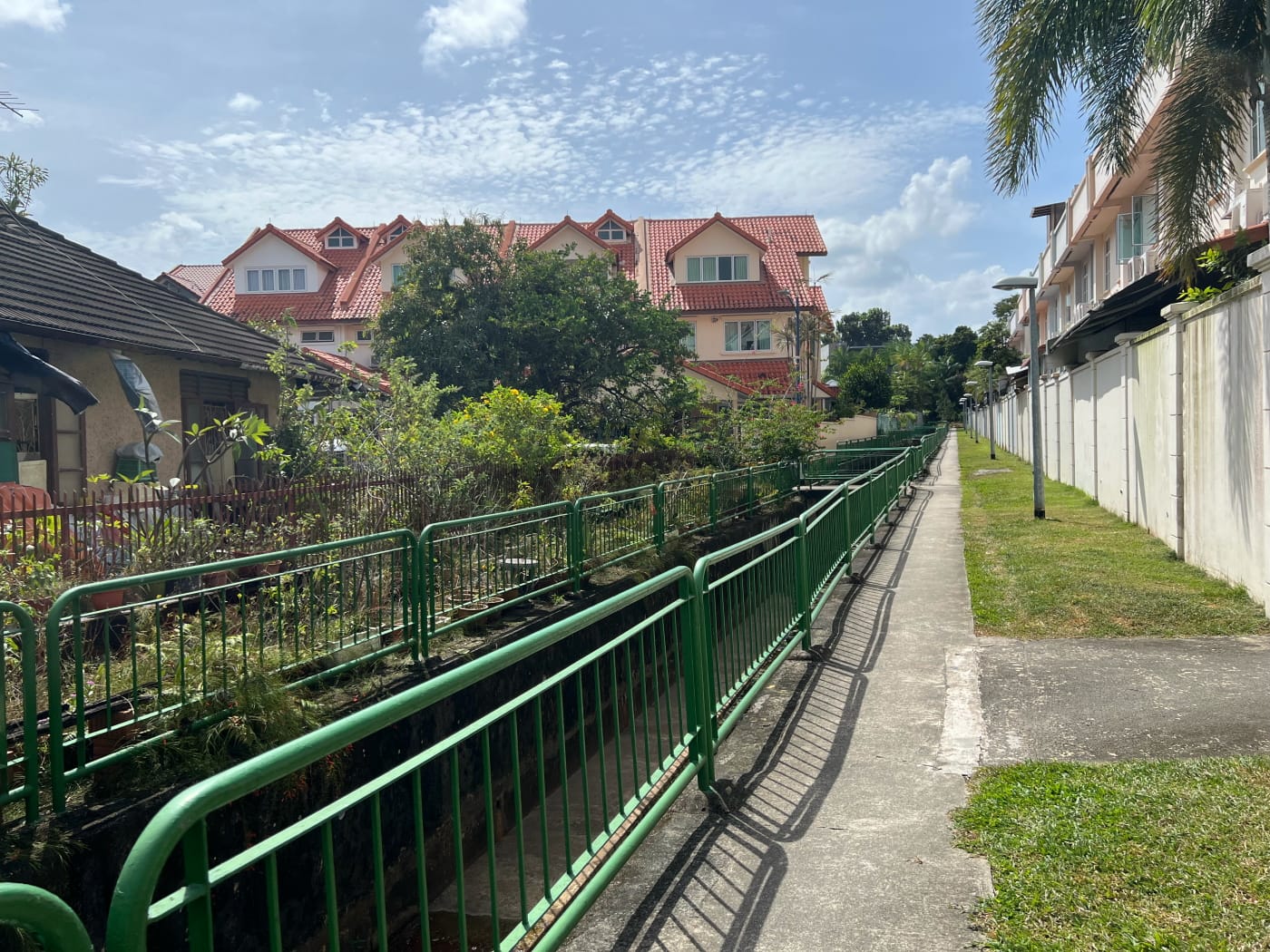
I’ve mentioned twice already in previous posts that I enjoy walking along alleyways and drains. I’m not entirely sure why. Not really sure why. Something about the fact that they are liminal spaces, gaps between places that no town planner really imagined anybody would want to be. There’s a touch of the illicit and adventurous in it. That and a feeling of curiosity about what you’ll find on the other side.
A wide, open drain ran in two directions from Chuan Walk Playground. Obviously I had to explore. I followed the drain northward till I hit Lorong Chuan again. Then I turned back a bit and followed a branch of the drain heading westward.

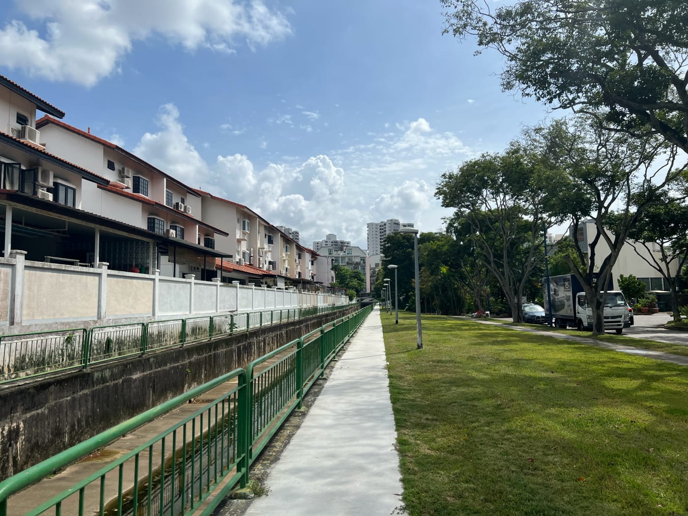
This branch connected up the ends of a series of streets which, on certain maps, you’ll see labelled “Colchester Park”. The names of these streets all began with places in the UK starting with “C” (Colchester, Coniston, Cardiff, Chiselhurst, Conway, Carisbrooke), and all ended in “Grove”.
The three “Hwans”
Back at Chuan Walk Playground, I followed the same drain I’d started on in the opposite direction. This brought me to a series of three estates which I shall call the three “Hwans”:
- Li Hwan (丽苑)
- Mei Hwan (美苑)
- Tai Hwan. (大苑)
The “Hwan” in this case is 苑, pronounced “yùan” in Mandarin. Apparently, in olden times this would have referred to a wealthy person’s hunting estate. Nowadays, this meaning has evolved to refer to a fancy park or garden. “Li” (丽) and “Mei” (美) both mean pretty or beautiful, while “Tai” (大) means large.
Li Hwan (丽苑)
I passed through Li Hwan first, following Burghley Drive northeast from the drain, then turning onto Li Hwan Terrance. Whereas Colchester Park and Cardiff Walk sprung up in the 1950s, alongside Serangoon Garden itself, Li Hwan is slightly older. In fact, it appears on street maps two decades later, in 1975.

I can’t really think of much else to say about Li Hwan. It’s a nice enough estate. I’m not entirely sure it’s quite qualifies as a 苑, but that’s by the by. I guess one thing I was struck by was the fact that, for a relatively small neighbourhood, it had not one, but three cul-de-sacs, at the end of Li Terrace, Li Hwan Close, and Li Hwan View. None of the other neighbourhoods I passed through that day used cul-de-sacs in this way. Which made me wonder then if maybe the Li Hwan represented some kind of passing trend in neighbourhood design. One that didn’t touch the other neighbourhoods nearby. Research for another day.
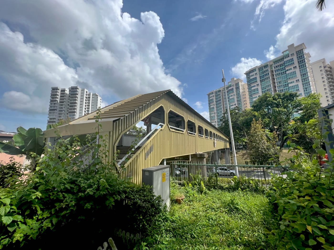
Lorong Chuan Overhead Bridge
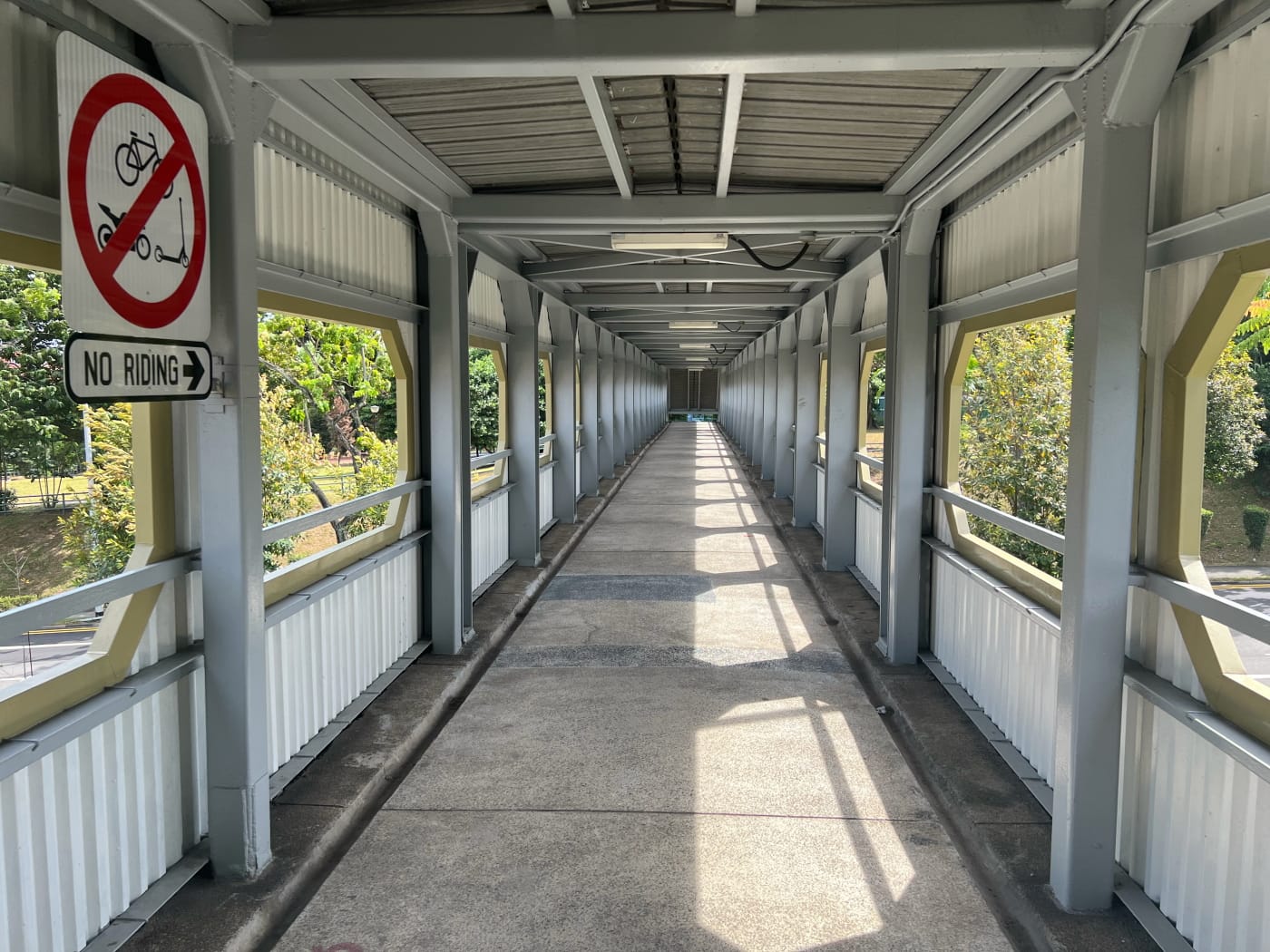
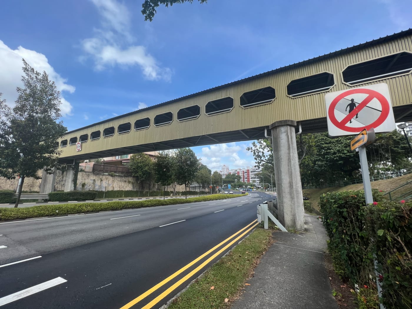
From Li Hwan View I crossed the famous Lorong Chuan Overhead Bridge. That isn’t its official name. I don’t know that it has one. But it’s the name you’ll find labelled on Google Maps.
Aside from that it was apparently built in 1975, I wasn’t able to find a lot of information on it. As far as I know, though, it’s the only one of its kind left in Singapore. It’s quite a landmark in the area too. I couldn’t not mention it.

Mei Hwan (美苑)
Crossing over Ang Mo Kio Avenue 1, I headed to my second “Hwan” of the day: Mei Hwan. Mei Hwan is a bit older than Li Hwan, appearing on street maps in 1978. It’s actually been through a couple of changes over the years. In 1984, a couple of streets appear to have been added to it, named Mei Hwan View. In 1995, these seem to have been incorporated into Golden Hill Condo. By 2007, Mei Hwan View had delisted, fully incorporated into the condo, and Mei Hwan estate returned to its 1970s extent. Sort of makes you wonder what was going on.


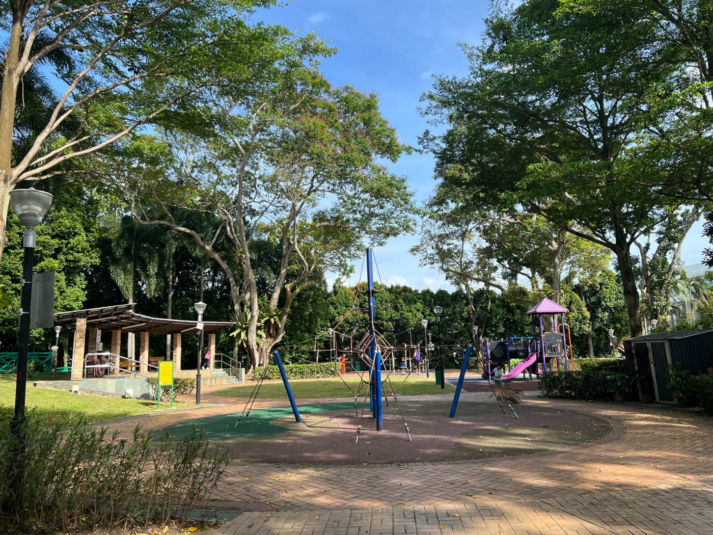
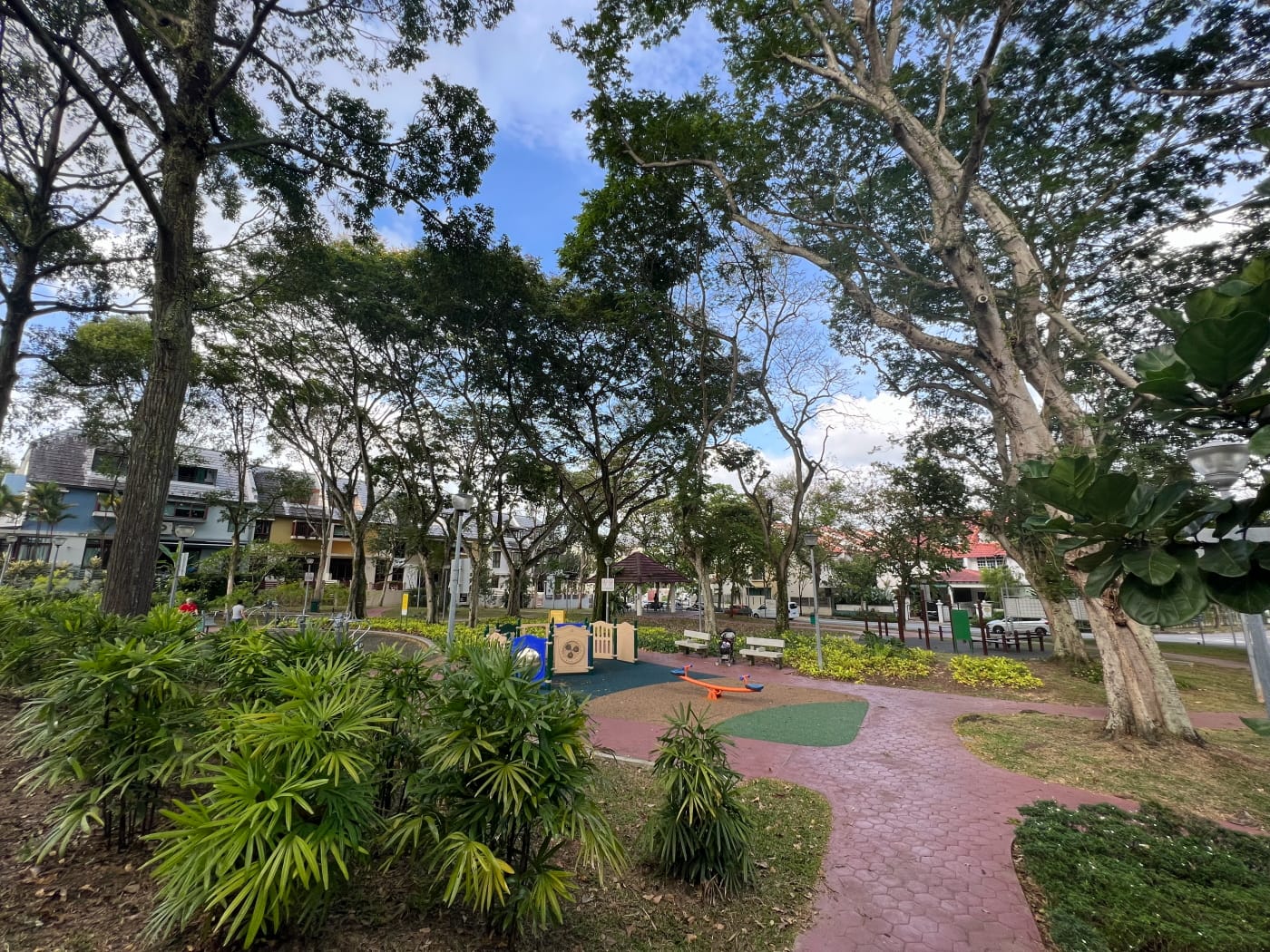
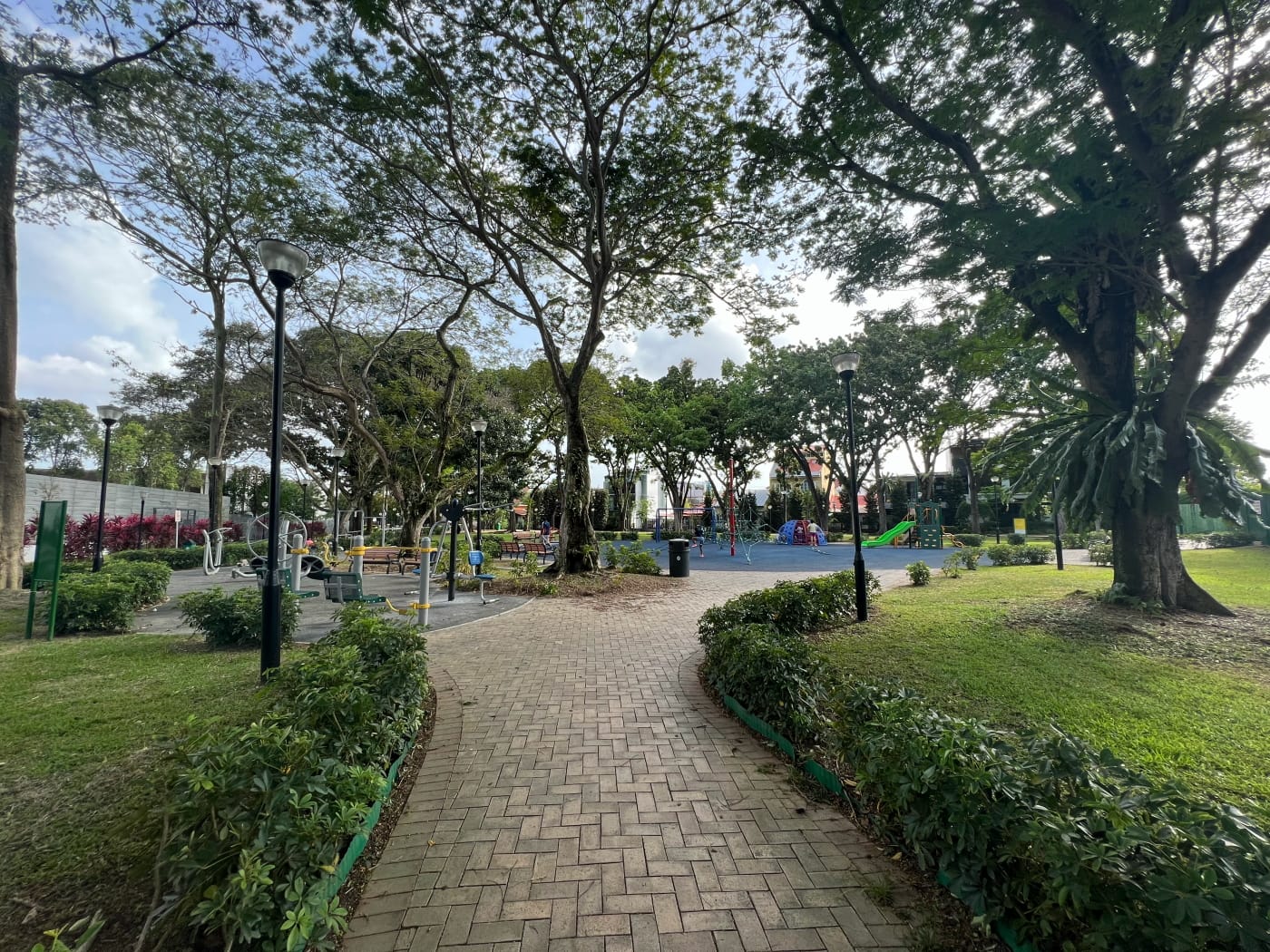
Mei Hwan had a nice park in it, called officially Mei Hwan Crescent Playground. I took my time strolling along the path running along its parameter, enjoying the trees and the sound of children playing. That’s when I stumbled upon this bench:
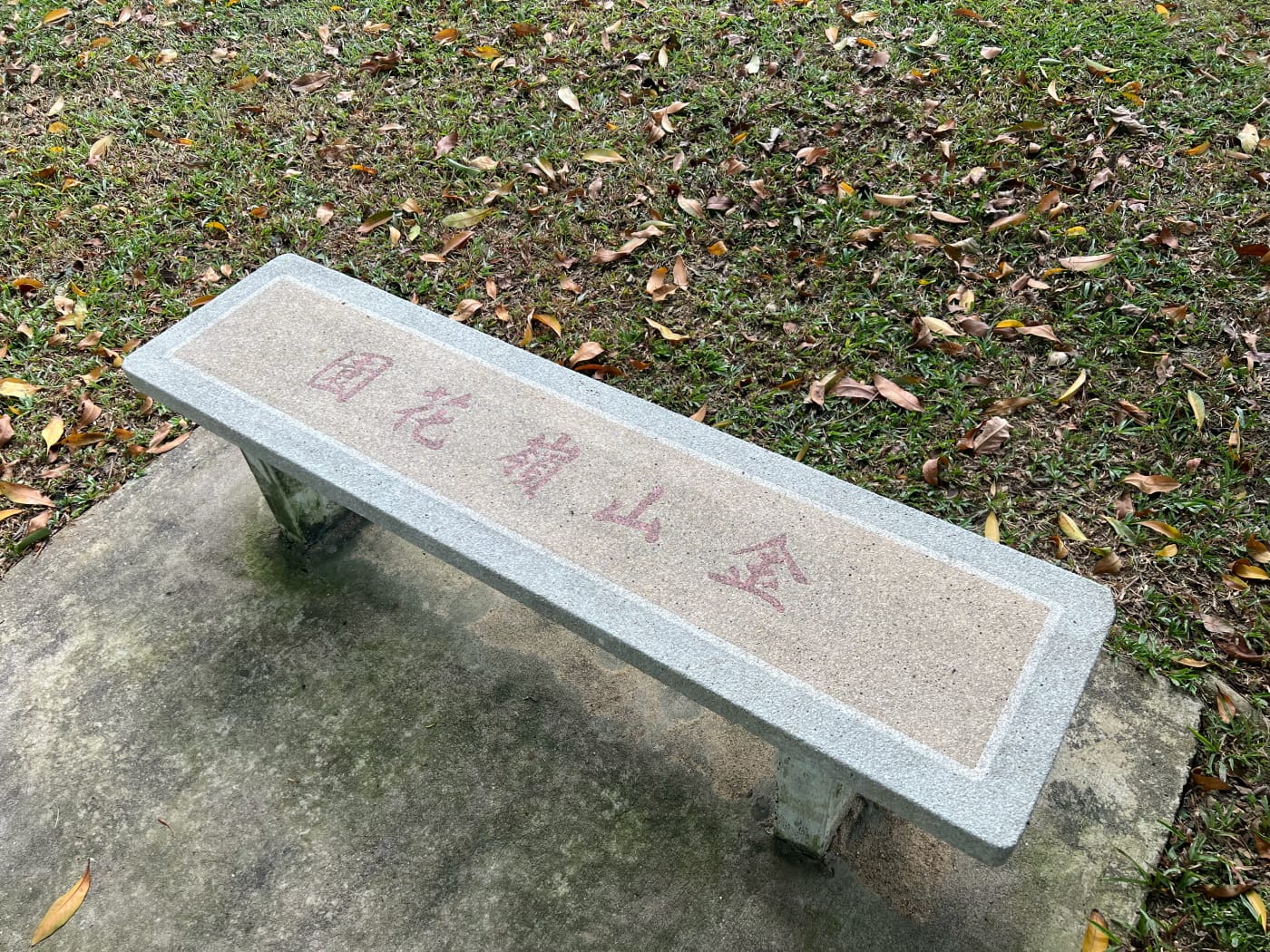
The characters on the bench are in Traditional Chinese, and they say “金山岭公园”. This translates very loosely to something like “Gold Mountain Garden”. Now hold on. Didn’t I just say there was a Golden Hill Condo in the area at one point? And isn’t there a Golden Hill Park Condo next to Mei Hwan today?
The Mystery of Golden Hill Estate
This bench dragged me down a rabbit hole of futile research. Old street maps of the area reveal that there indeed used to be a Golden Hill estate here. Only it moved around a lot. In the 1975 street map, a Golden Hill estate did indeed appear in the area which is today Mei Hwan Drive Playground:
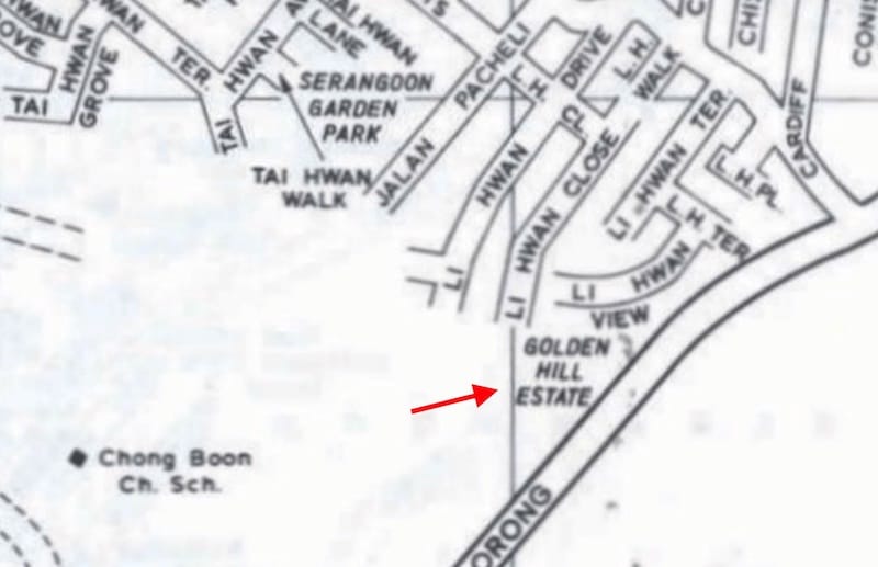
In the 1978 map, though, the label seems to have moved to the other side of Ang Mo Kio Avenue 1. It now sits on a corner of Li Hwan estate:

By 1995, the label had shifted to the east, right in the midst of Li Hwan estate:
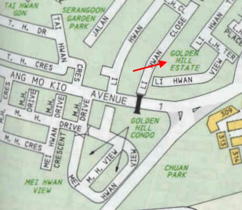
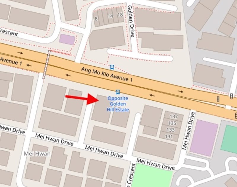
The label stayed in this location until 2007. That year, two other Golden Hills appeared: Goldenhill Villas, and Goldenhill Park Condo. There were also three new streets: Golden Drive, Golden Walk, and Golden Rise. If we look at a street map today, the bus stops immediately adjacent to these streets seem to imply they are now Golden Hill estate.

So where is Golden Hill? Perhaps a long-time resident of Li Hwan or Mei Hwan could tell us. We can only speculate that perhaps this entire area once bore that name. At different points in the area’s history, different parts of it became known specifically as Golden Hill estate. The bench might have come from when Mei Hwan estate was known as Golden Hill estate. Or it might have been moved here from somewhere else.
Tai Hwan (大苑)
In hindsight, I ought to have explored Mei Hwan a bit more. But I guess at the time I was satisfied only taking a walk through the park. Having done that, I crossed back over to Li Hwan and headed down the oddly-named Jalan Pacheli, the only “Jalan” in any of the estates I visited this day. I passed through the present day Golden Hill estate, and headed into Tai Hwan.


There really isn’t much to say about Tai Hwan. Like Li Hwan, it first appeared in the 1975 street map. It’s a nice enough estate, with a park at the centre of it which was being upgraded when I visited.
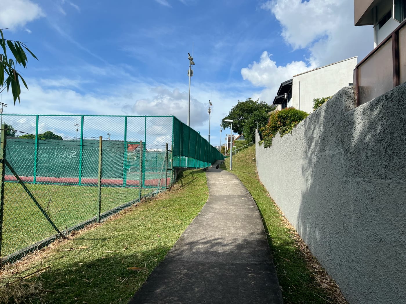
I traced a windy route through the southern half of the estate before following Tai Hwan Heights to a footpath linking it to Burghley Drive. This footpath took me right up against some tennis courts at the Burghley Squash & Tennis Centre. These have been around a while. The centre opened in 1981, part of the Singapore Sports Council’s Master Plan on Sports Facilities (1976-82).

Serangoon Garden
And with that, I found myself in Serangoon Garden proper. Honestly, I was getting a little tired at this point, walking under the blazing sun. I was also running out of time.
Serangoon Garden comprises a series of 17 nearly parallel streets. Like I mentioned earlier, all are named after places in the UK. I would have loved to trace a zig-zag path through them all. But that’s for another day. This time, my goal was to circumnavigate the neighbourhood. That I did in an anti-clockwise direction.
I made detours along the way, visiting several parks: Chartwell Drive Park, Garden View Playground, Tavistock Park.
At the southern end of the neighbourhood were a series of streets all beginning with “B”: Burghley, Blandford, Brockhampton, Braemar, Borthwick, Bodmin, and Bloxhome. These seemed to be a partner to the “C” roads I’d encountered earlier. Makes me wonder if any “D” or “E” roads were planned which never materialised.

Ending my walk
I ended my walk following Burghley Drive eastward, past CHIJ (Our Lady of Good Counsel) Primary School onto Cardiff Grove. There, I traced my route more or less in reverse back to Lorong Chuan MRT station.
A word on accessibility
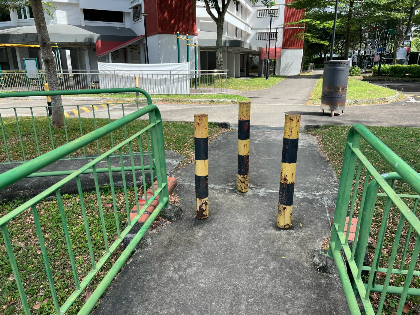
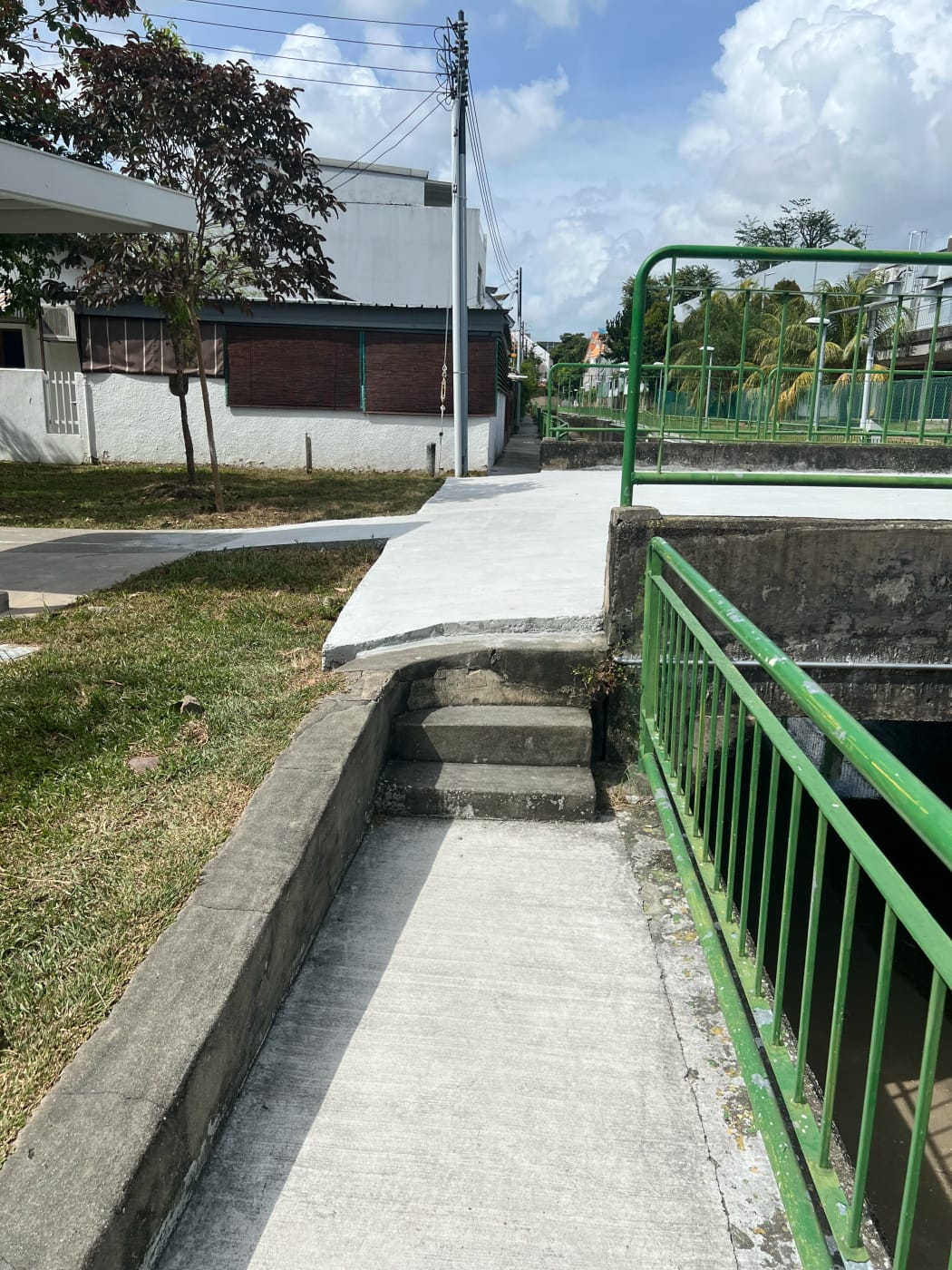
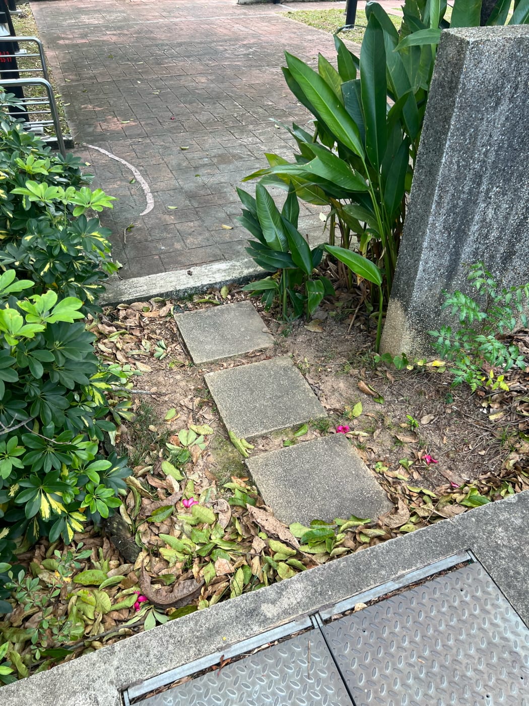
This walk was really eye-opening to me, for a not entirely great reason. It made me realise how awfully inaccessible our neighbourhoods can be. I’d like to think these are older neighbourhoods, and that’s why. But I’m not sure.
The gist of it is that this entire walk is basically inaccessible. Everywhere I looked there were obstacles. Avoiding them was possible, but took me so far away from where I wanted to go it wasn’t worth the bother. A person on a wheelchair trying to make their way through some of this estate unassisted would basically have to drive through it like a car. Which can’t be safe.
Honestly, the entire experience was pretty disheartening. It called into question the whole premise of my making accessibility a thing on this blog. Is there a point at all in trying? Am I really helping anyone? I feel like the kind of walks I write about are kind of niche anyway. Would any people with disabilities even be interested?
In the end, I cling on to the quote I pasted on my Accessibility Statement page:
“It is the greatest of all mistakes, to do nothing because you can only do little.” – Sydney Smith
I’m going to keep at it. Even if nobody cares, at the very least, I become a bit more aware myself of the challenges people with disabilities face doing the things I take for granted every day. That can’t be a bad thing.
Walk details
- Date: Sunday, 26 February 2023
- Distance: 11.67km
- Time Taken: 2 hours 5 minutes
- Accessibility: I cannot recommend this route for accessibility reasons. See dedicated section above.
Download KML file for Serangoon Gardens Loop route. No accessibility notes are posted as, frankly, there are too many. There is no way I would be able to recall all of them, and they would serve little purpose accept reinforcing the point I already made above.
Leave a Reply