The walks I go on are seldom very rigorously planned to begin with. Sometimes they happen more or less spontaneously. This particular Saturday in March this year, I found myself in Bugis with a couple of hours to spare, and decided I’d make a detour on the way home, walking to Novena and catching the bus from there, as opposed to simply crossing the street. Along the way, I passed through or by Kampong Glam, Lavender, Jalan Besar, and Farrer Park along the way.
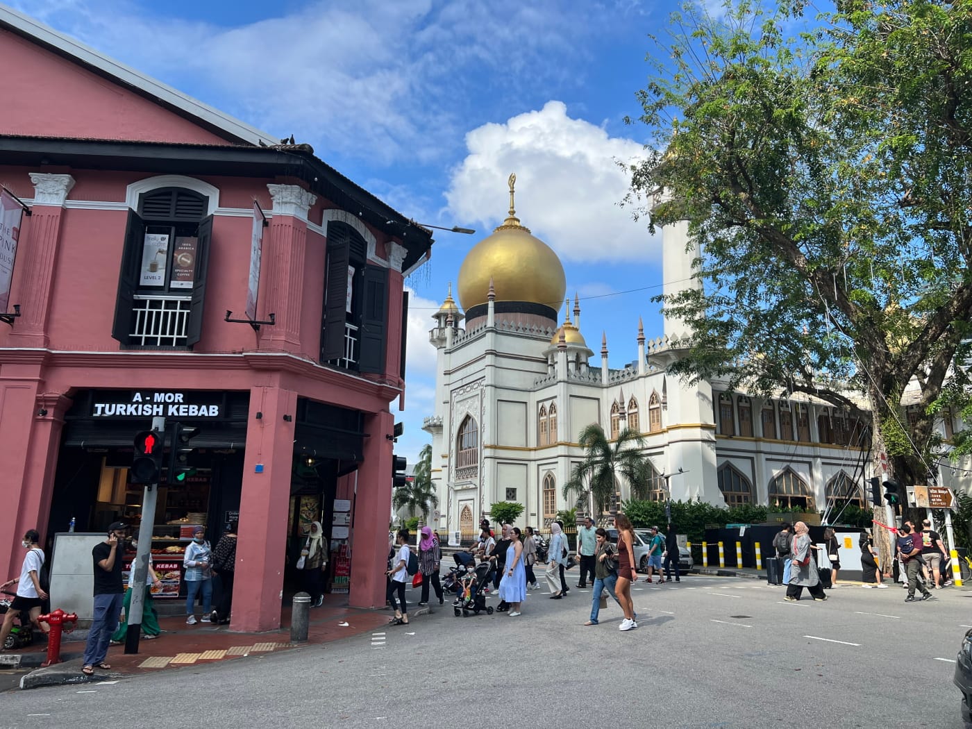
I started my walk on the junction of Middle Road and North Bridge Road, heading northeastward down the latter. Bugis Junction, as usual on a Saturday afternoon, was absolutely packed, and I was pretty glad to pass it by. I spend quite a bit of time in Bugis, but seldom head up this way. Past Parkview Square and Raffles Hospital, I found myself standing outside the Golden Landmark Shopping Centre, with Arab Street before it, and just beyond it, the golden dome of Masjid Sultan.
Masjid Sultan / Sultan Mosque
The Sultan Mosque is a major landmark in the Kampong Glam heritage district in Singapore. You can scarcely walk around the place without at least glimpsing the mosque from a distance.
The mosque as we know it today was completed in 1932, but as an institution, it has a history going back all the way to the early 1820s. Back then, it was apparently a brick structure. The mosque survived a fire in the 1852 that destroyed 135 houses in the area and killed 1500. When the rebuilding of the mosque was announced in 1925, it was touted as being one of the largest covered mosques in the world.
One thing I like to do when I’m researching these blog posts (and why they often take so long to do) is look up old newspaper articles on the places I pass by. You encounter all sorts of interesting stories about these places which you otherwise never hear about, because they don’t fit neatly into the narrative that popular historians like to tell about them.
Something about the Sultan Mosque which I uncovered this way was an apparent controversy around the mosque’s management that played out in the local newspapers for something like 20 years beginning in 1911. I didn’t manage to figure out what triggered the controversy – perhaps unhappiness regarding appointment of trustees, seen as interference in the affairs of the muslim community by outsiders. At some point, however, it intersected with the mosque rebuilding project: a member of the committee to collect funds for the project resigned in June 1925 apparently without giving an official reason why, letters to the editors of local newspapers complained about lack of funding for mosque upkeep even as money was collected for the rebuilding and calling for the mosque’s treasurer to resign, meetings were supposedly held which were later denied and called illegal by community leaders…
Finally, Mahmood bin Haji Dawood, an Indian Muslim who was the treasurer attending to all the above controversy, died in an apparent accident shortly after the mosque was completed in Nov 1931. Whhttps://eresources.nlb.gov.sg/infopedia/articles/SIP_2016-03-09_142226.htmlether this ended the controversy or the completion of the mosque did, I can’t tell. There don’t seem to be any further angry lets written to the press afterwards.
Masjid Malabar / Malabar Mosque
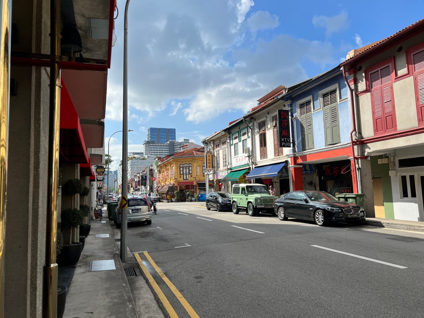
I continued down North Bridge Road for some distance, following a long row of shop houses bearing an eclectic mix of halal restaurants, hipster cafes, boutique hotels, yoga studios, and pastry shops.
Turning right on Jalan Sultan, I then encountered my second mosque of the day, the Malabar Mosque, or Masjid Malabar. I’ve passed by the mosque a few times, never failing to notice its striking blue facade and golden domes, even shinier than the ones on Sultan Mosque.

The history of the mosque is tied to that of the cemetery that presently lies behind it, part of the Jalan Kubor Muslim Cemetery. The Jalan Kubor cemetery is in fact made up of multiple cemeteries, all dedicated to the burial of Muslims in Singapore. The first of these cemeteries seems to have been in existence since the 1830s. All have since ceased operation, and indeed since 1998, the area has been slated for residential development.
The area of cemetery where the Malabar Mosque sits today was formerly home to the Tittacheri Muslim cemetery and mosque, which had existed since at least as far back as 1909. This mosque fell into disrepair and was apparently abandoned until it was revived again in 1929, under the management of the Malabar Muslim Jama’ath, a group comprised of respected merchants in the local Malabar community.
At some point in the mid-20th century – I wasn’t able to establish when – interest began to grow around the building of a new mosque on the site. Funds were raised, and work began in 1956 and being completed in 1963. At the time, it was supposedly the second largest mosque in Singapore.
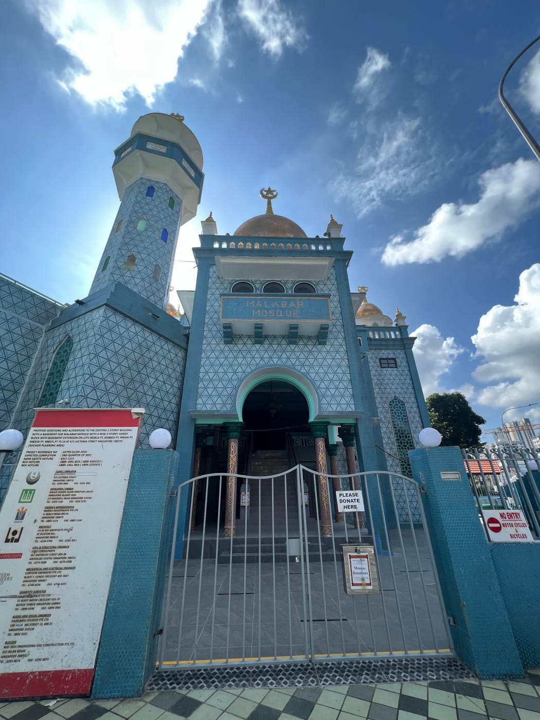
Something I didn’t know about the Malabar Mosque until quite some time after my walk is that it had apparently been recently upgraded, with a whole new annex added to its building, containing a woman’s prayer hall, a heritage gallery, and classrooms!
Information on this annex was surprisingly hard to come by. Not even the mosque’s own official website says very much at all, and there was apparently no announcement in the media that work had been completed! At least not that I could find. But I did encounter a social media post about the new annex, which highlighted how well-integrated the new annex was with the existing building. No wonder I didn’t notice it!
I passed the mosque by and continued down Jalan Sultan, tip-toeing to glance over a cement wall to catch a glimpse of the cemetery behind the mosque grounds. I didn’t want to take a picture, just in case this was considered disrespectful.
Rochor Canal & Syed Alwi Road
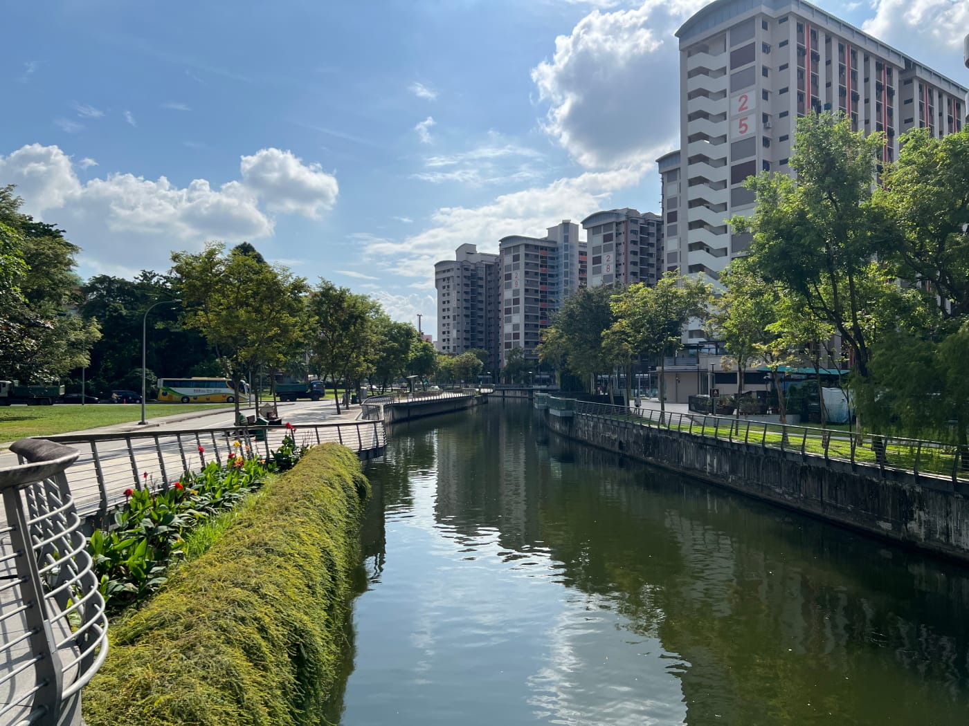
My walk next took me over the Rochor Canal, also known as the Sungei Rochor, so called because it is basically a canalised river.
Canals fascinate me for the same reason that alleyways do. They are part of a city’s invisible infrastructure, connecting places people don’t realise need connecting. You look at a canal and think of it as a landmark, like a building, or a bridge.
But a canal isn’t a thing. It’s a movement, a process. If you’ve heard the saying, “No man stands in the same river twice” – well, a canal is just a river humans have tried to control, sometimes successfully, sometimes not. The substance of a canal is ever changing.
If you followed the waters of the Rochor Canal upstream, it would first take you onto Bukit Timah Road, then Kampong Java Road, then back onto Bukit Timah Road, all the way to Jalan Jurong Kechil, near Beauty World, where the source of the canal is supposed located. Along the way, it connects to another network of canals leading ultimately to Sungei Ulu Pandan and Pandan Reservoir.
The bridge I crossed over the Rochor Canal was called the Syed Alwi Bridge, and this led, appropriately, onto Syed Alwi Road. The first mention I could find of this road in newspapers was all the way back in 1881, when it was known simply as “Syed Alwee’s Road”. This may have been an informal name only, because the road was apparently also called Jalan Bahru. Syed Alwee was a Justice of the Peace and a member of the Aljunied family. His father, Syed Ali bin Mohamed Al Junied, amongst other good works, personally funded the construction of three bridges in the city, one of which was at the time called Jalan Sultan Bridge, which may very well be the Syed Alwi Bridge, since I can’t locate any other bridges on Jalan Sultan.
Mustafa Centre
It was a Saturday afternoon as I headed down Syed Alwi Road, so it was pretty crowded, but not as crowded as I suspect it gets on Sundays. The buildings along the road initially comprised two rows of colourful and compact shophouses. One side soon gave way to what is probably Syed Alwi’s best known landmark: Mustafa Centre.

Mustafa Centre opened at its present location along Syed Alwi Road in 1995, occupying at first one building, then expanding to a second. This repeated a pattern the business had been following since it was founded in 1971 on Campbell Road, expanding incrementally into new premises over the following two decades, as opportunities presented themselves.
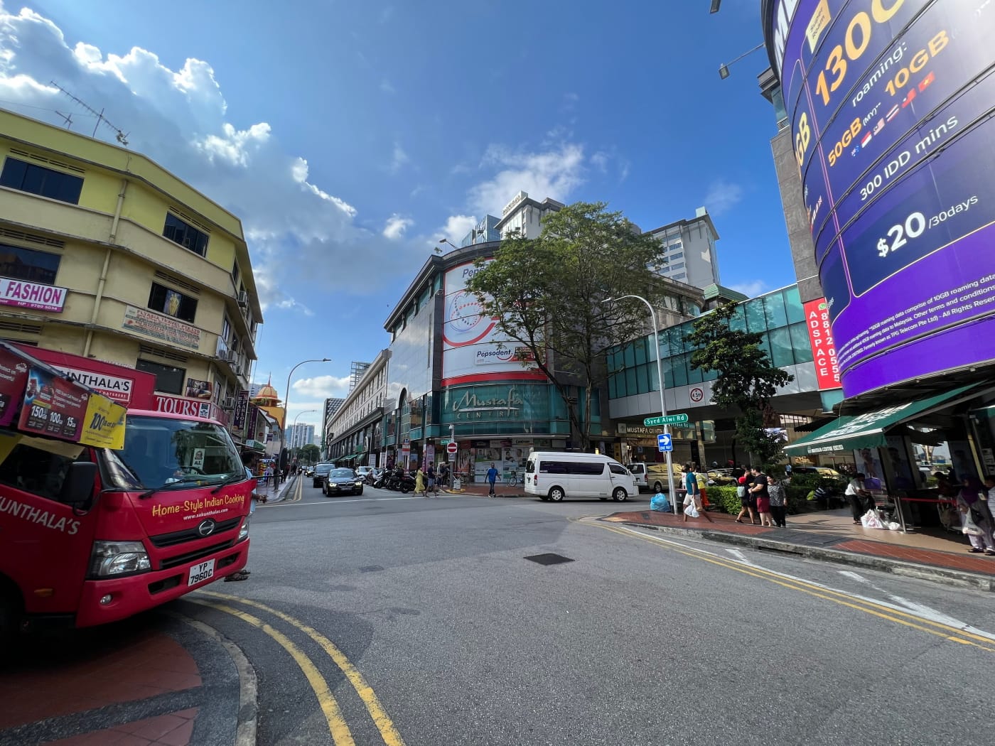
I hardly hear much about Mustafa Centre anymore, but when I was growing up, it seemed like it was the place to go for any random thing you might need at wholesale prices. I guess nowadays with chains and Daiso and Donki and online shopping, the place has slightly lost its appeal. It still has a messy, chaotic charm, though.
Angullia Mosque & Farrer Park
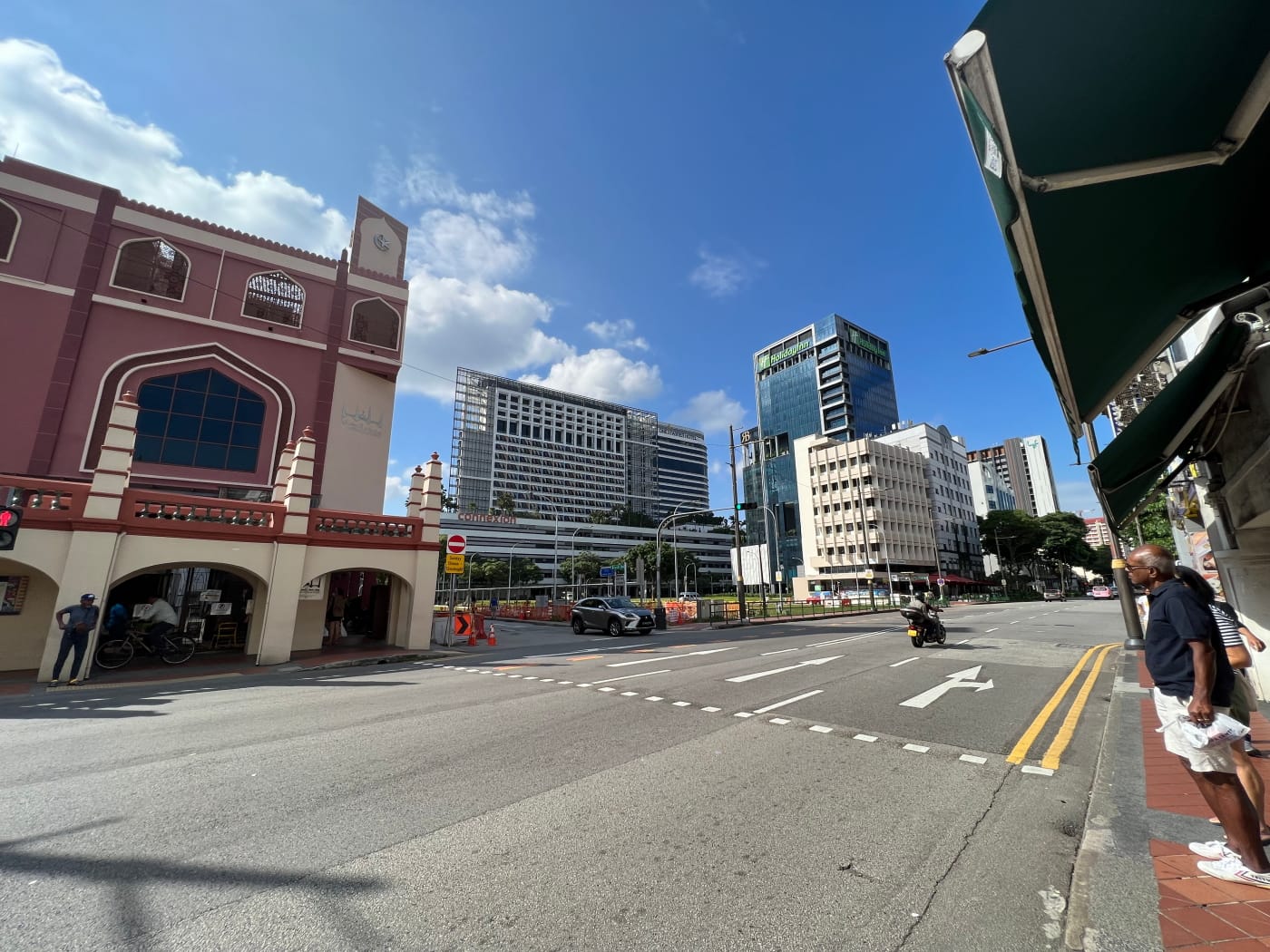
My walk continued northwestward, across the busy Serangoon Road and into Farrer Park, at the northern tip of Little India. Here I encountered my third and final mosque of the day, Angullia Mosque.
The Angullia Mosque is so named because it sits on land bequeathed to the community by a gentleman by the name of Mohammed Salleh Eussoofjee Angullia, a trader and prominent figure in the Indian Muslim community in Singapore. He purchased the land in 1890, and the mosque was built sometime between then and 1892. Members of the Angullia family continue to sit on the mosque’s management board today.
Of the original mosque building, only the entrance gatehouse remains. The rest of the original building was demolished in 1969, and a two-storey structure built in its place in 1970. Just like the Malabar Mosque, the Angullia Mosque also underwent a major revamped recently, one that is rather more noticeable, with a whole new four-storey structure built and painted a rich vermilion.
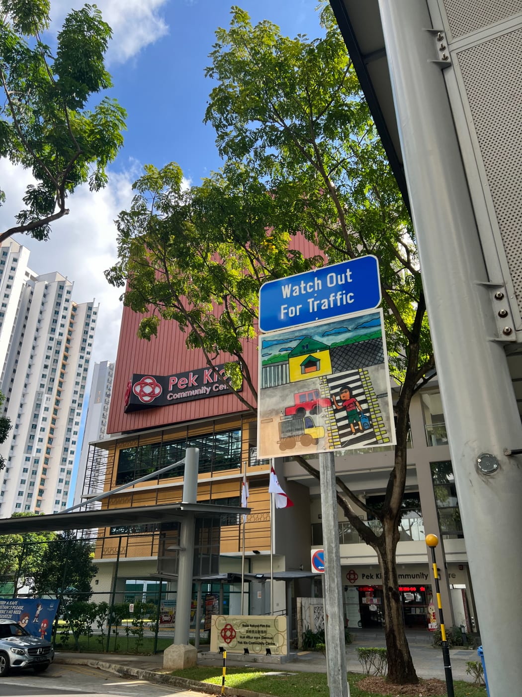
I walked alongside the mosque down Birch Road to the junction with Race Course Road, where I crossed over to Gloucester Road. Having walked this section of Gloucester Road before, I turned right down Race Course Road instead before turning into Owen Road, and then Worcester Road. Back on Gloucester Road again, I stopped briefly to admire a child’s drawing that had been mounted under a “Watch Out for Traffic” sign at a zebra crossing outside Pek Kio Community Centre.
Streets named after English counties and county towns
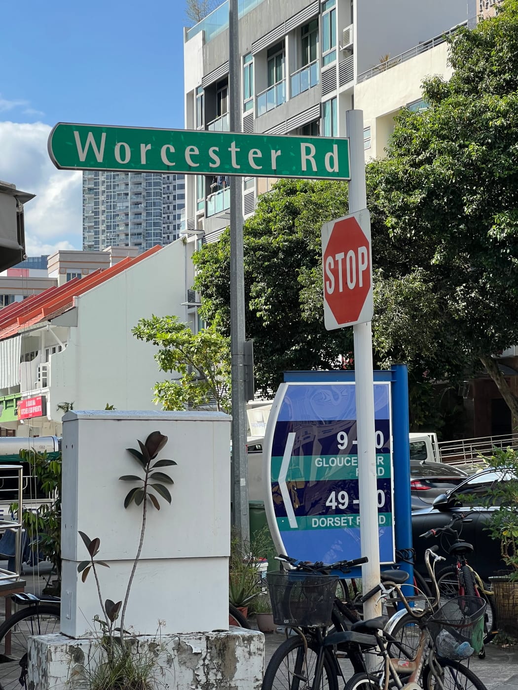
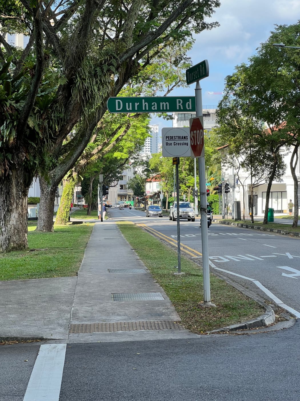
I’m not sure what to name this section, but a pattern was emerging as I turned off Gloucester Road onto Dorset Road and Durham Road. Gloucester, Worcester, Dorset, Durham… these were all English counties, or county towns.
In the 2000s, when my Secondary School was undergoing PRIME upgrading, it had occupied a holding school here, on Rangoon Road, and so I was familiar with the place, and had known about the streets named after English places. But it was only looking at a map today that I noticed just how many they were. An entire network of streets bounded by Rangoon Road, Race Course Road, Bukit Timah Road, and the CTE bore names of English counties and county towns, and several more across the CTE did as well.
I did a bit of research and learnt that most of these were named in the 1920s and 1930s, although a couple would have appeared only later, perhaps in the 1950s. I didn’t manage to find any explanation for these names, but one might speculate that the earlier streets might have been named to recall places in England to colonial officers based here, and the later ones perhaps named simply to continue the pattern.
In any case, here’s everything I managed to find. I can’t promise it’s comprehensive:
- Bristol Road – City and county in England, wedged between Somerset and Gloucestershire. Unsure when named, but first appears in a letter to the press in 1922.
- Cambridge Road – City and county town of Cambridgeshire, England. Named in 1930.
- Carlisle Road – City and county town of Cumbria, England. Made a public road in 1931, but first appears in a property ad in 1927.
- Derbyshire Road – County in the East Midlands region of England. Named in 1922.
- Dorset Road – County in South West England. Named in 1922.
- Durham Road – City and county in England. Unsure when named, but first appears in the 1 June 1959 edition of the Singapore Standard, accessible only at terminals in NLB libraries.
- Essex Road – County in the East of England. Unsure when named, but first appears in the 31 January 1967 edition of the Eastern Sun, accessible only at terminals in NLB libraries. Appears before this in the 1954 edition of the Singapore Street Map.
- Gloucester Road – City and county town of Gloucestershire in South West England. Unsure when named, but first appears in press in 1939. Could not have existed prior to 1932, because the race course for which Race Course Road is named appears in maps where Gloucester Road is today at least up till then.
- Hampshire Road – County in South East England. Unsure when named, but first appears in the same article in the press that Gloucester Road does, and could not have existed prior to 1932 for the same reason.
- Hereford Road – City and county town of Herefordshire in the West Midlands region of England. Named in 1922. This might actually be a misspelling. In the entire NewspaperSG database, the name “Hereford Road” appears only 23 times, where other roads in this list appear hundreds, sometimes over a thousand times. The description of Hereford Road in the 1922 article fits the description of Hertford Road.
- Hertford Road – City and county town of Hertfordshire. First appears in a property ad in 1922, and likely named that same year, but misspelled Hereford Road.
- Kent Road – County in South East England. Named in 1929, according to the Minutes of the Proceedings of the Municipal Commissioners for 30 September of that year.
- Lincoln Road – City and county town of Lincolnshire in the East Midlands. Unsure when named, but first appears in a property ad in 1934.
- Norfolk Road – County in the East of England. Named in 1922.
- Oxford Road – City and county town of Oxfordshire in South East England. Named in 1929, according to the Minutes of the Proceedings of the Municipal Commissioners for 30 September of that year.
- Rutland Road – County in the East Midlands region of England. Unsure when named, but first appears in a news article in 1940.
- Shrewsbury Road – County town of Shropshire in the West Midlands region of England. Named in 1922.
- Suffolk Road – County in the East of England. Named in 1929, according to the Minutes of the Proceedings of the Municipal Commissioners for 26 July of that year.
- Surrey Road – County in South East England. Unsure when named, but first appears in a notice published in the Straits Times in 1936.
- Truro Road – City and county town of Cornwall in South West England. Sure when named, but first appears in a property ad in 1922, and given that none of the streets in this list were named before 1922, likely named then as well.
- Worcester Road – City and county town of Worcestershire in the West Midlands. Unsure when named, but first appears in the 16 July 1946 edition of the Malaya Tribune, accessible only at terminals in NLB libraries.
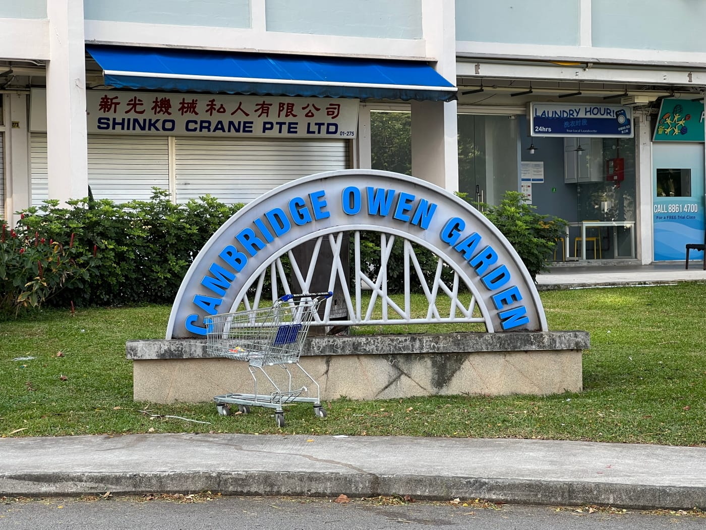
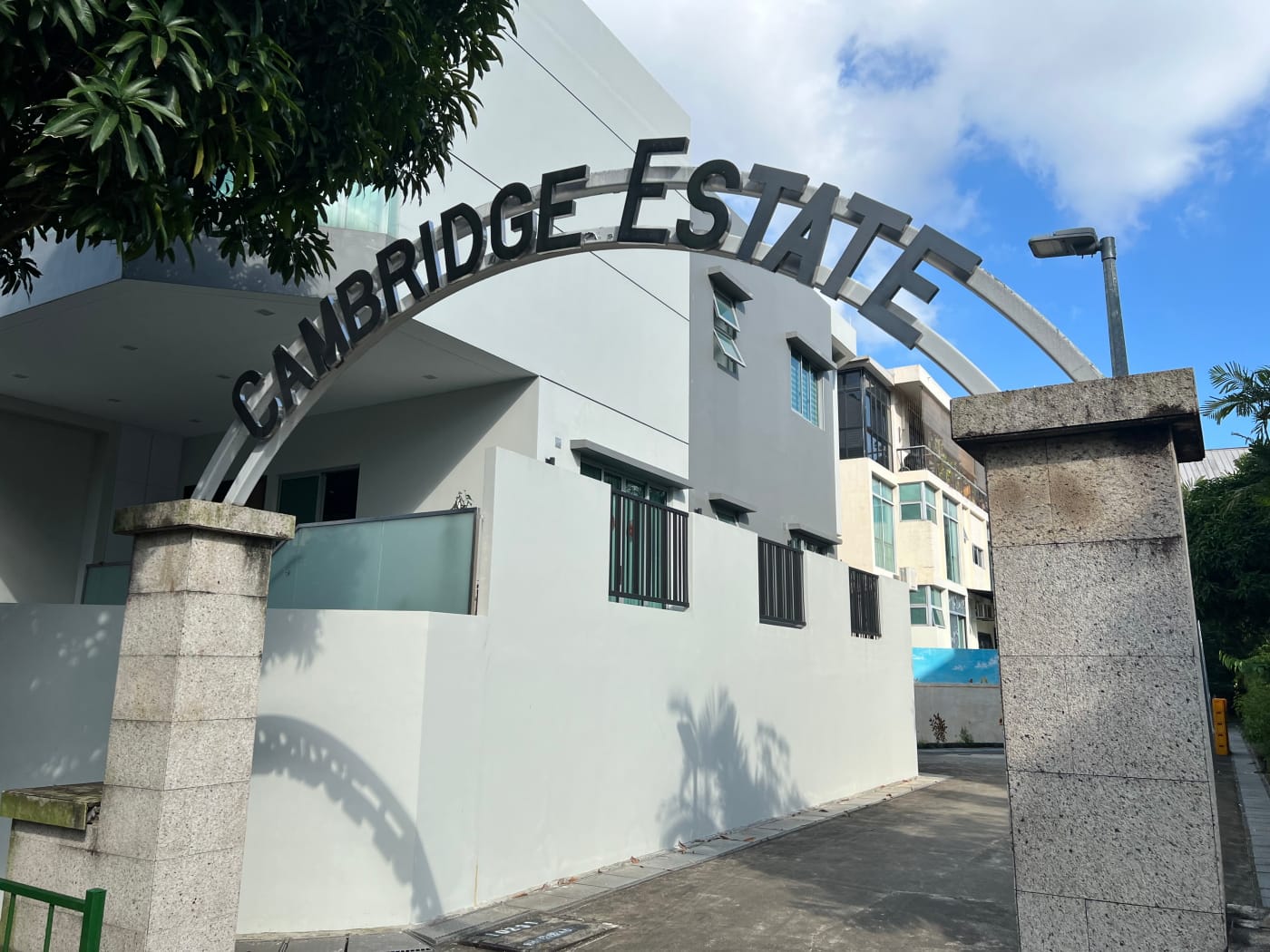
Dorset View, Cambridge Estate, Singapore Baptist Church
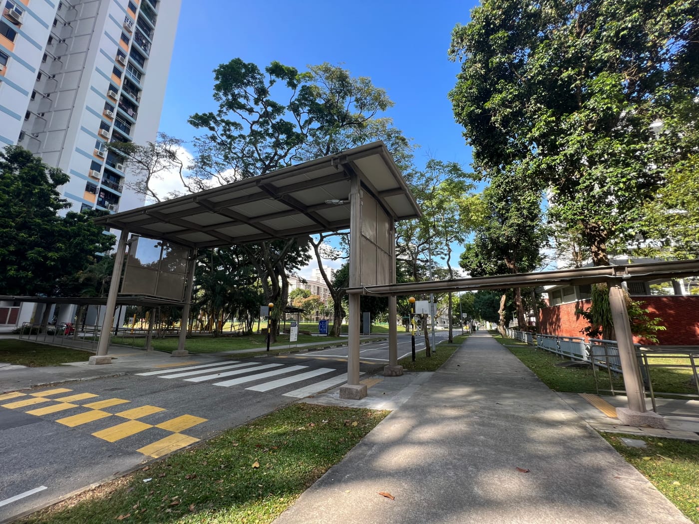
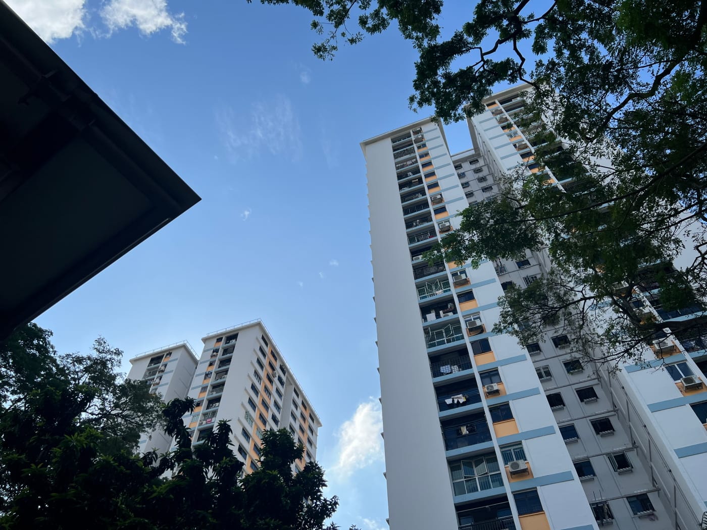
After Durham Road my path winds around a bit in a way that makes it somewhat tedious to describe. I made my way through the carpark of what Open Street Maps calls the Dorset View HDB development. I don’t usually enjoy walking through carparks, but this one wasn’t too busy, and had tall trees growing in it that made it less unpleasant a walk than it otherwise might have been.
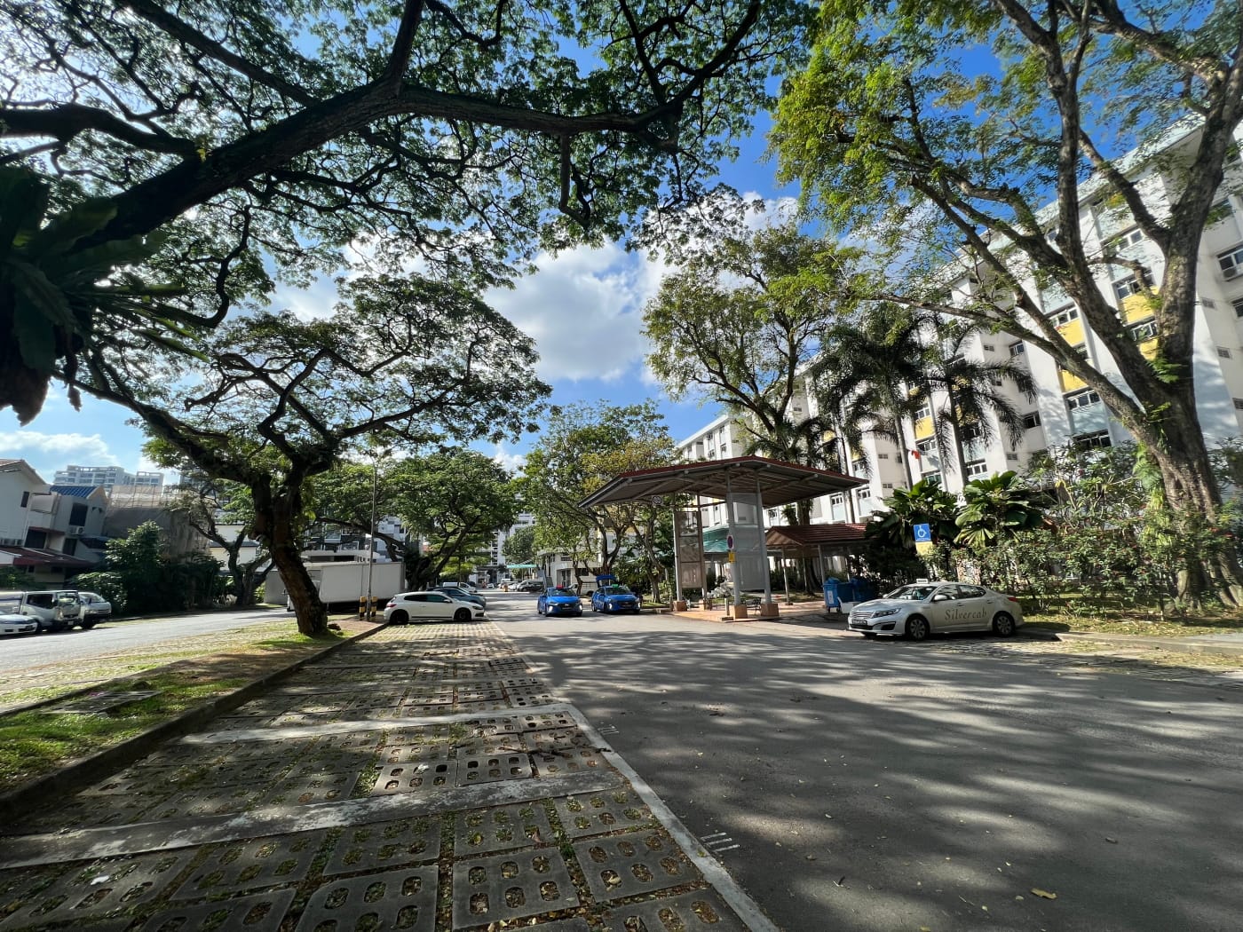
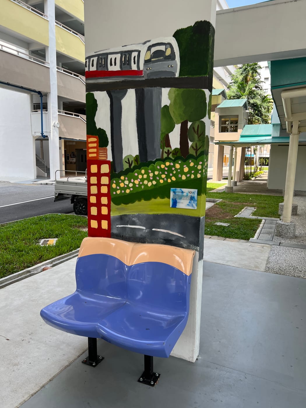
I crossed Cambridge Road and under the void deck of an HDB block, where I found an interesting community space apparently dedicated to recycling and upcycling. It looked a little forlorn, though, and a little barren, as if there might once have been more up cycled stuff left here that perhaps members of the public had stolen? It would be pretty sad if that were so.


From here I noticed a paved footpath crossing a field heading towards Carlisle Road and decided head down it. Rather bizarrely, though, the footpath dead-ended just as it reached Carlisle Road, with no means to head down to Carlisle Road without hopping the fence around it. Which seemed rather silly. I decided to hop the fence myself rather than head all the way back and round again, but the terrain was pretty uneven so anyone less sure of themselves should simply avoid the pointless footpath altogether.

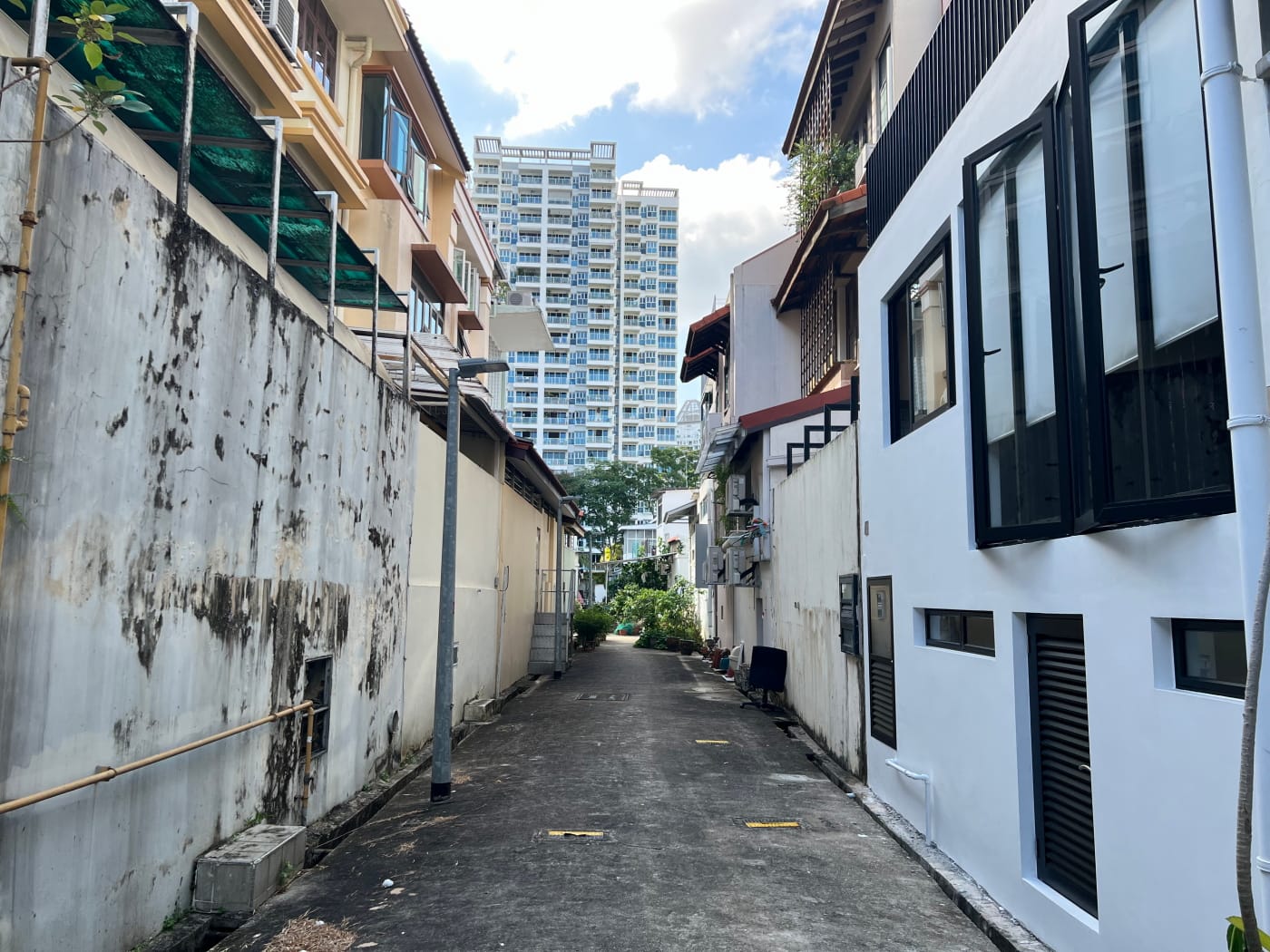

I wound my way through a couple of back alleys just for fun before continuing my way down Cambridge Road towards Keng Lee Road, passing by Singapore Baptist Church as I did. I’d ridden past this church hundreds, maybe thousands of times on the bus, but have to confess I never really paid it much attention. I took a few minutes this time to admire its warm and inviting red brick facade.
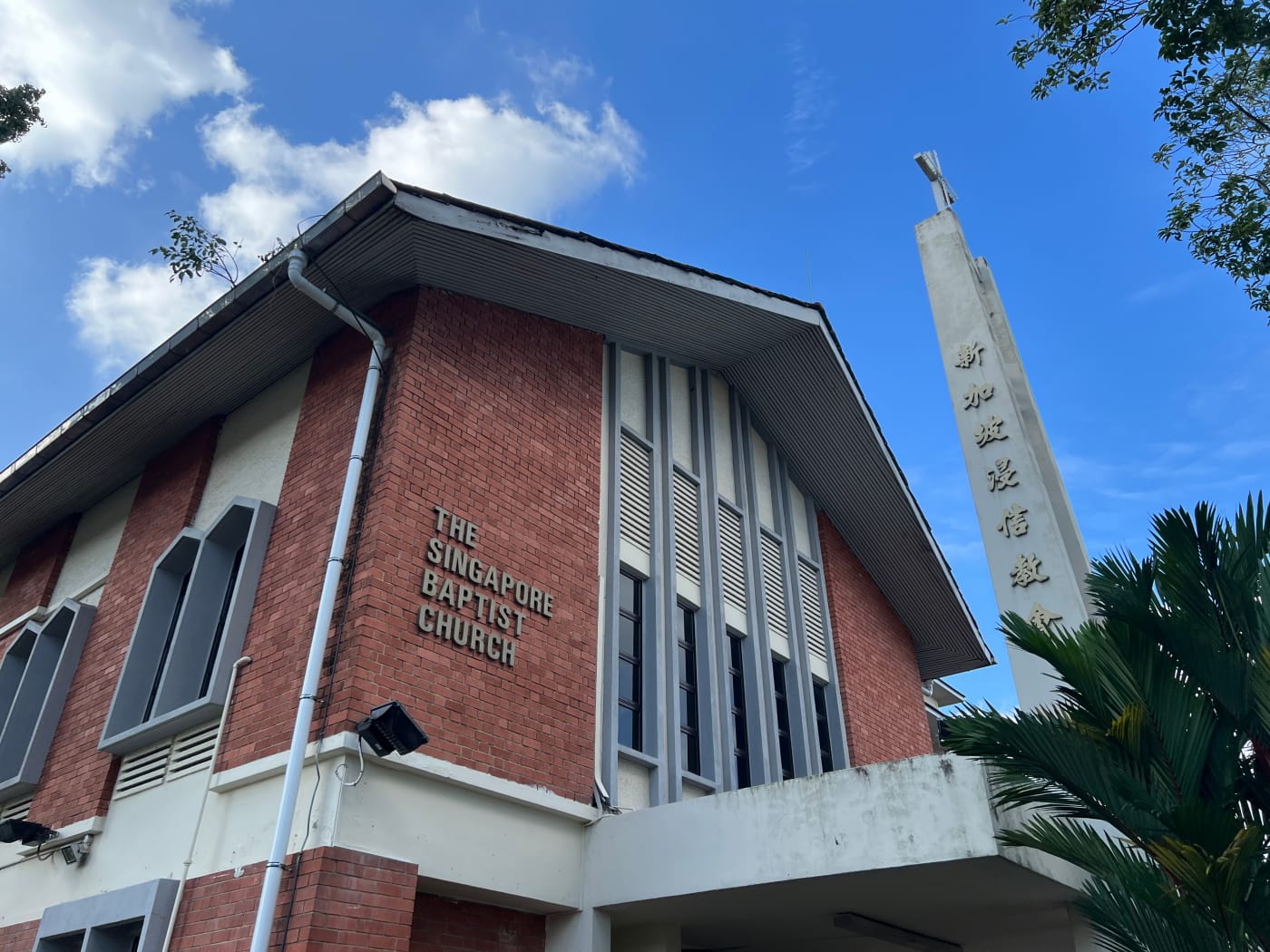
Singapore Baptist Church was founded in 1961, but initially only held services at 33B Cambridge Road, a residential building. The church moved into this building in 1969, and has been here ever since. It is one of 37 churches in Singapore participating in the Singapore Baptist Convention.
Keng Lee Road & Kampong Java Road
Keng Lee Road and Kampong Java Road are one of those roads in Singapore that are essentially one road, but have one name going in one direction, and another name going in the other. Bukit Timah Road and Dunearn Road are another example.
I’d like to do a bit of research to figure why this happens, but that’ll have to wait till another day. I imagine it must be the result of some historical accident. The 1953 edition of the Singapore topographical map considered Kampong Java Road a “main road”, while Keng Lee Road was merely an “other motorable road”. So it seems Keng Lee Road might once have been merely a small side street joining up Cambridge, Carlisle, and Norfolk Roads on its side of the Bukit Timah Canal. Perhaps at some point, traffic along Kampong Java Road became heavy enough that Keng Lee Road was upgraded to become the southbound half of a single road with Kampong Java, both halves retaining their names. Pure speculation, but makes sense?
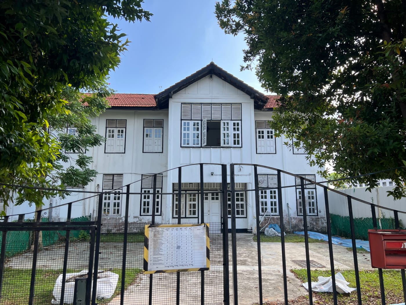
Once across, I paused briefly to look at one of the black and white houses along Kampong Java Road, which looked quite vacant. I then continued on my way northward, turning down Keng Lee Road again as it continued its way east past Hong Leng Lien Temple. I continued this way for some time, walking along the Bukit Timah Canal, not thinking at the time that this was actually the same Rochor Canal I had crossed earlier before Syed Alwi Road, only bearing a different name.
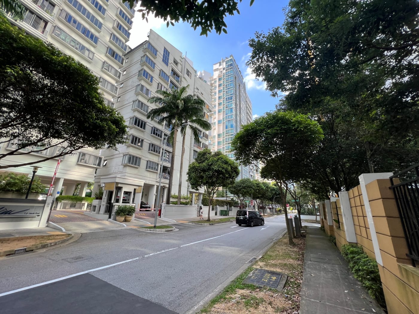
Condos galore!
I really have nothing against private condominiums, but when there are so many of them packed together so densely in an area, it can make for quite an uninteresting, even depressing walk. Thankfully, I was nearly at my destination. I wandered down Lincoln Road, a street utterly devoid of character with fences running down both sides, past Surrey Road, no doubt similarly afflicted and turned onto Thomson Road Playground.
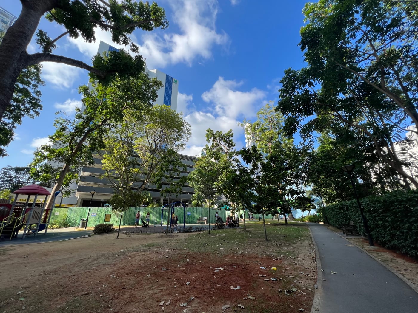
I chose the wrong time to visit. First of all, much of the playground lay behind tall barricades, no doubt put up as part of construction work on the future North-South Corridor, and so I wasn’t seeing the playground at its best. Secondly, it being a Saturday afternoon, the playground was crowded with kids, which made it hard for me, a grown man, to take many pictures of the place without looking creepy and possibly making some people uncomfortable. The latter wasn’t a problem per se. Obviously it’s a good thing that children are having fun playing outdoors. But it did mean my visit was a pretty short one. I walked once around the playground, and then turned and headed out.
I headed down Khiang Guan Avenue past more condos, including one called “Lincoln Suites”. “Lincoln Suites”, despite being on Khiang Guan Avenue. I guess an ang moh name like “Lincoln” is a little more marketable than “Khiang Guan”. Khiang Guan Avenue, incidentally, was named after Tan Khiang Guan, a founder of the Gambier and Pepper Association.
Goldhill Plaza
I next passed by Goldhill Plaza. When I was a kid I came to Novena often to attend English and Chinese lessons at United Square next door. Goldhill Plaza always stood out to me because of its distinct orange facade. More than that, however, was the cage-like structure at the top of its tower. For some reason, I had gotten it into my head that a giant cat lived in that tower. I never believed it was true, but I liked to imagine it, and to this day, whenever I pass by the building on the bus on my way somewhere, I look up at the structure and picture a cat sitting forlornly within in, perhaps leaning a paw against one of its bars.
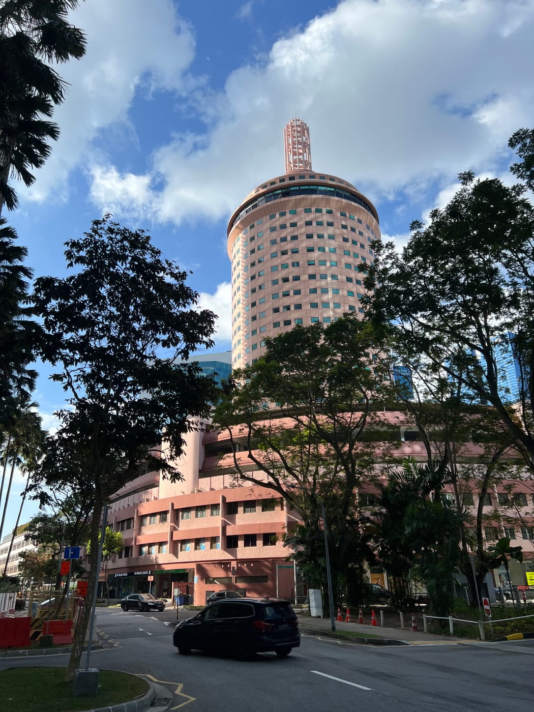
The design of the building looks dated today, but everything was new once, and in the 1970s, when Goldhill Plaza was announced and developed, it was described as “magnificent” and “reminiscent of a Roman coliseum”, which part of me thinks must have a been an exaggeration even then.
Some of you may have read my Serangoon Garden post and recall that I had written about a mysterious Golden Hill estate. While I was researching that post I wondered for some time whether there might have been some connection between it at Goldhill Plaza, but I wasn’t able to find anything suggesting any such relation.
Final fun fact: United Square, next to Goldhill Plaza, was once named Goldhill Square, and was only renamed in 1989 after United Overseas Land (UOL) purchased the property in 1987.
Hotel Royal
Not far from Goldhill Plaza was the Hotel Royal, another building the left an impression on me when I was a kid, mainly because of the large bas-relief images done up on the hotel’s facade. The hotel seemed to have a troubled start in life. Construction on the hotel began in 1968, but by 1970, when it was nearing completion, there was apparently an oversupply of hotel rooms in Singapore, and the hotel’s investors were even considering converting it to a private hospital. They decided against this in the end, but even so, the opening of the hotel was delayed over two years, to 1972.

And with that, my walk was more or less at an end. I emerged from Khiang Guan Avenue onto Newton Road and crossed the street over to the bus stop where I would catch my ride home.
Walk details
- Date: Saturday, 18 Mar 2023
- Distance: 5.81km
- Time Taken: 1 hour 16 minutes
- Accessibility: The first half of this walk, up to Farrer Park, involve long sections of walking under shophouses, which may be narrow and which may not have step-free access. In some cases, alternative routes are available, such as along Victoria Street. Other times, however, you may be forced to walk along the road. Take care. I walk along an HDB carpark between Dorset and Cambridge Road. If this does not seem safe to you, consider detouring around Truro Road or Owen Road instead. As I mention in my post, the footpath running through the field next to Cambridge Road leads to a dead end which is impassible without climbing a green fence. The stretch between the end of Cambridge Road and the start of Lincoln Road is currently a massive construction site for the future North-South Corridor. Depending on the situation, parts of it may not have step-free access, or may be blocked entirely.
Leave a Reply