After months of endless wet weather, things finally started to look drier this February. Turns out, I shouldn’t have gotten my hopes up too high. February ended up being a pretty rainy month still. All the same, I did manage to go for a couple of walks, including one centred around Woodleigh Park.
I’d had my eyes set on going for a walk in Woodleigh Park for some time. The area stood out to me every time I happened to glance past it on a satellite map: a slash of green between Serangoon in the north and Potong Pasir in the south. While I was at it, it made sense to visit two other adjacent neighbourhoods as well: Carmichael Road and Braddell Heights. All three are pretty old neighbourhoods, appearing all the way back in the 1954 edition of the Singapore Street Map. More on that later.
Carmichael Road
I began my walk in a neighbourhood which, as far as I know, doesn’t have a name. The neighbourhood is a pretty small one, comprising basically a single street, Carmichael Road. The street was named after a man named A. T. Carmichael, who was Manager of the Chartered Bank of India, Australia, and China. He was also Municipal Commissioner in Singapore between 1869 and 1872.
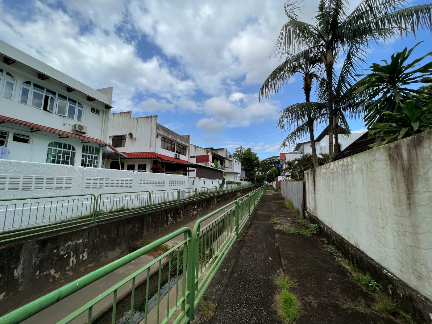
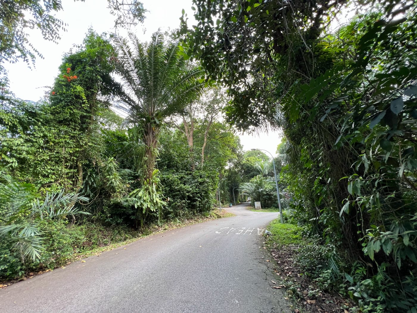
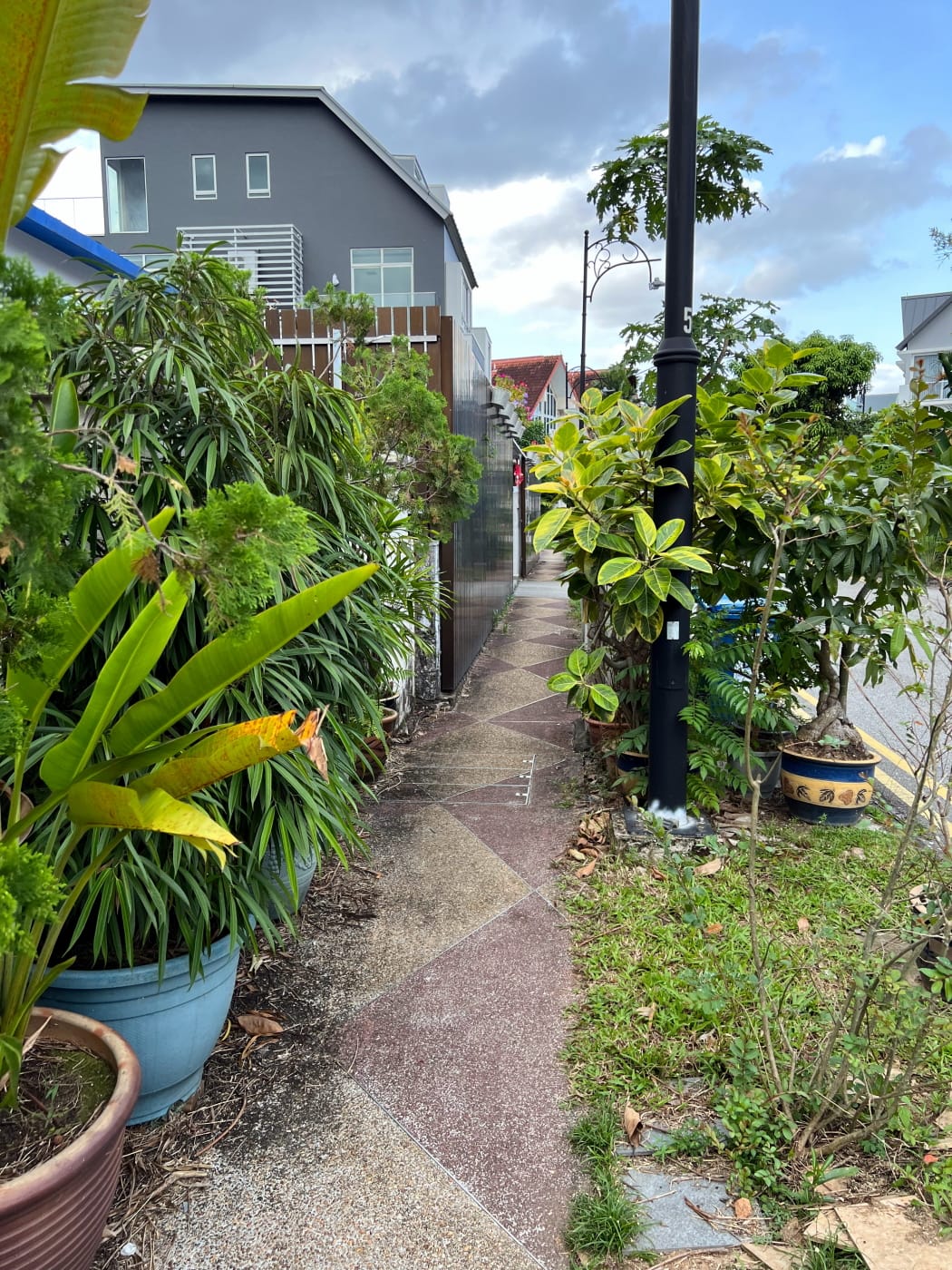
I wrote in my last blog entry that I have a minor fascination with alleyways. This is true also of alleyways that have drains running through them. It shouldn’t surprise you then that I chose to enter Carmichael Road through just such an alleyway, snaking its way into the neighbourhood from Braddell Road.
Like most landed estates in Singapore, Carmichael Road is a bit on the older side. Quite old, in fact. It appears in dotted lines in the 1954 edition of the Singapore Street Map, which is the oldest one available. The dotted lines could just mean Carmichael Road was only a dirt track at this point. The neighbourhood appears earlier than this in newspapers, however. The 15 July 1937 issue of the Straits Times contained an advertisement for a house on sale in the neighbourhood.
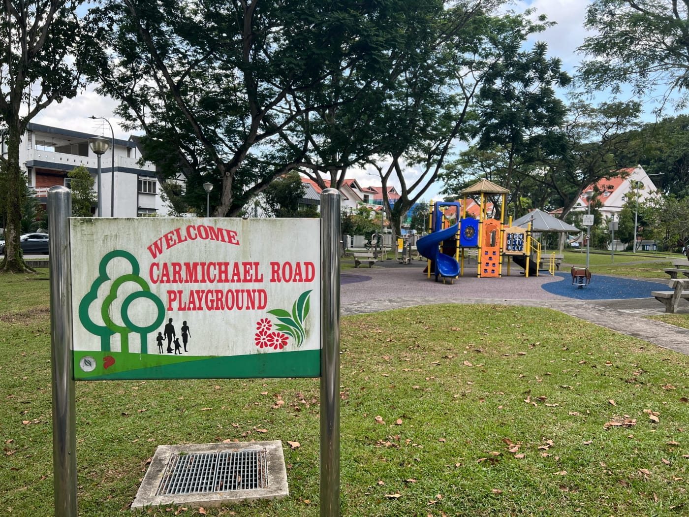
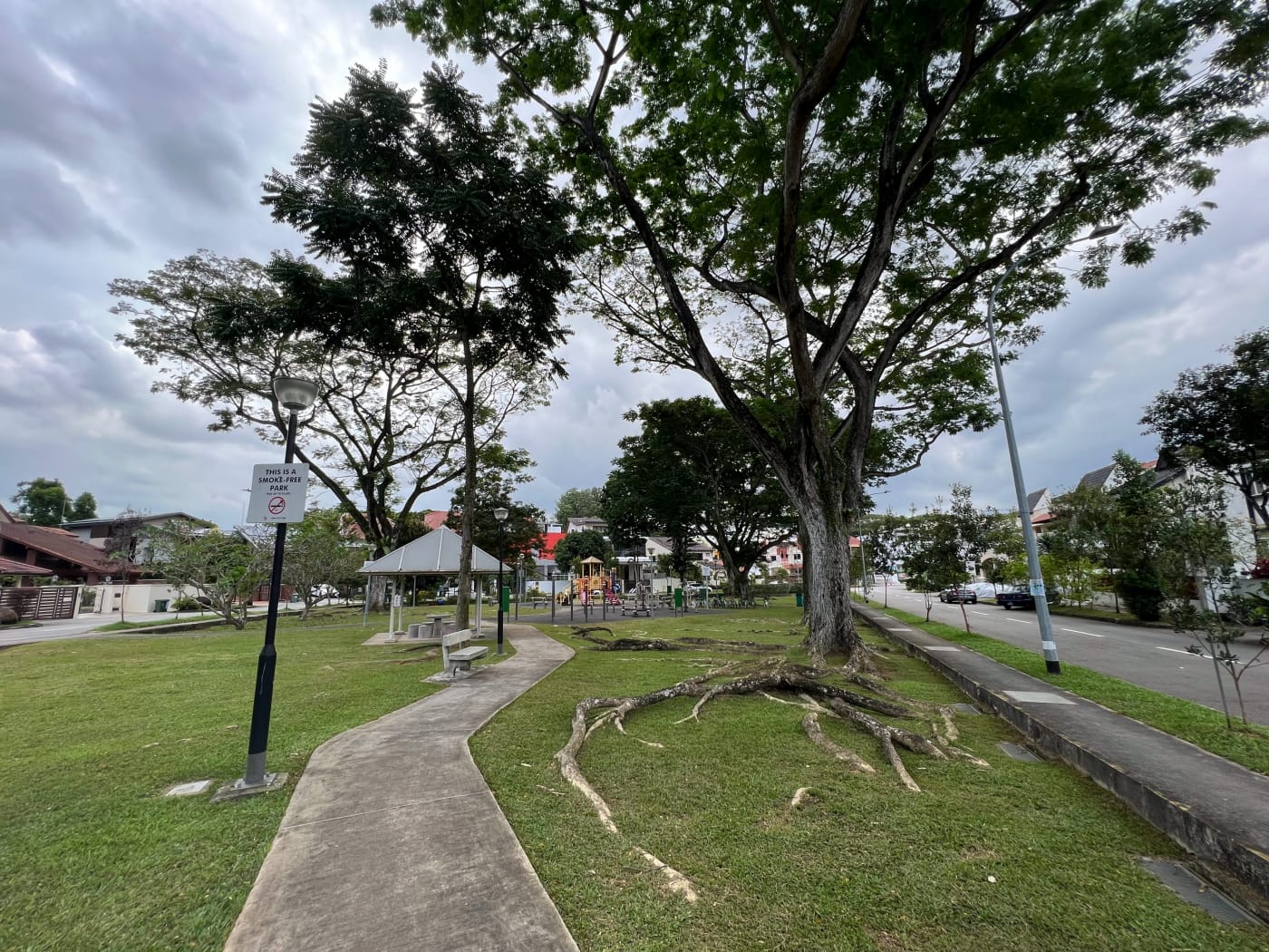
The centrepiece of the neighbourhood is a playground which, relative to the size of the neighbourhood itself, is pretty big. There weren’t any children about at all during my visit, despite it being a Sunday evening. You have to wonder with these older neighbourhoods whether there are really many young families left at all with kids who would use such facilities. Like I said, the neighbourhood is pretty small, if quiet and pleasant. I made my way through the park, then followed Carmichael Road out of the neighbourhood at its eastern end.
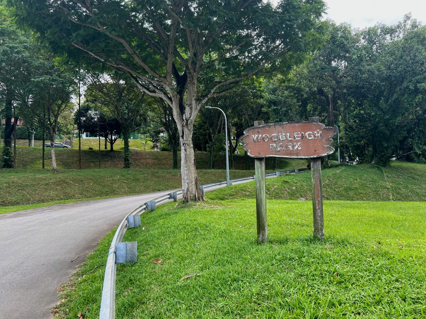
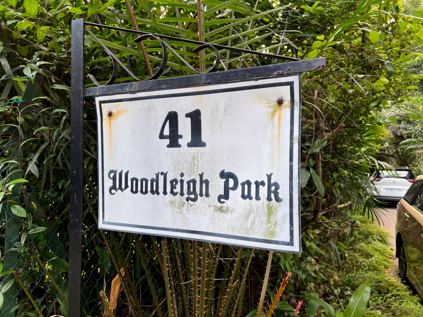
Woodleigh Park
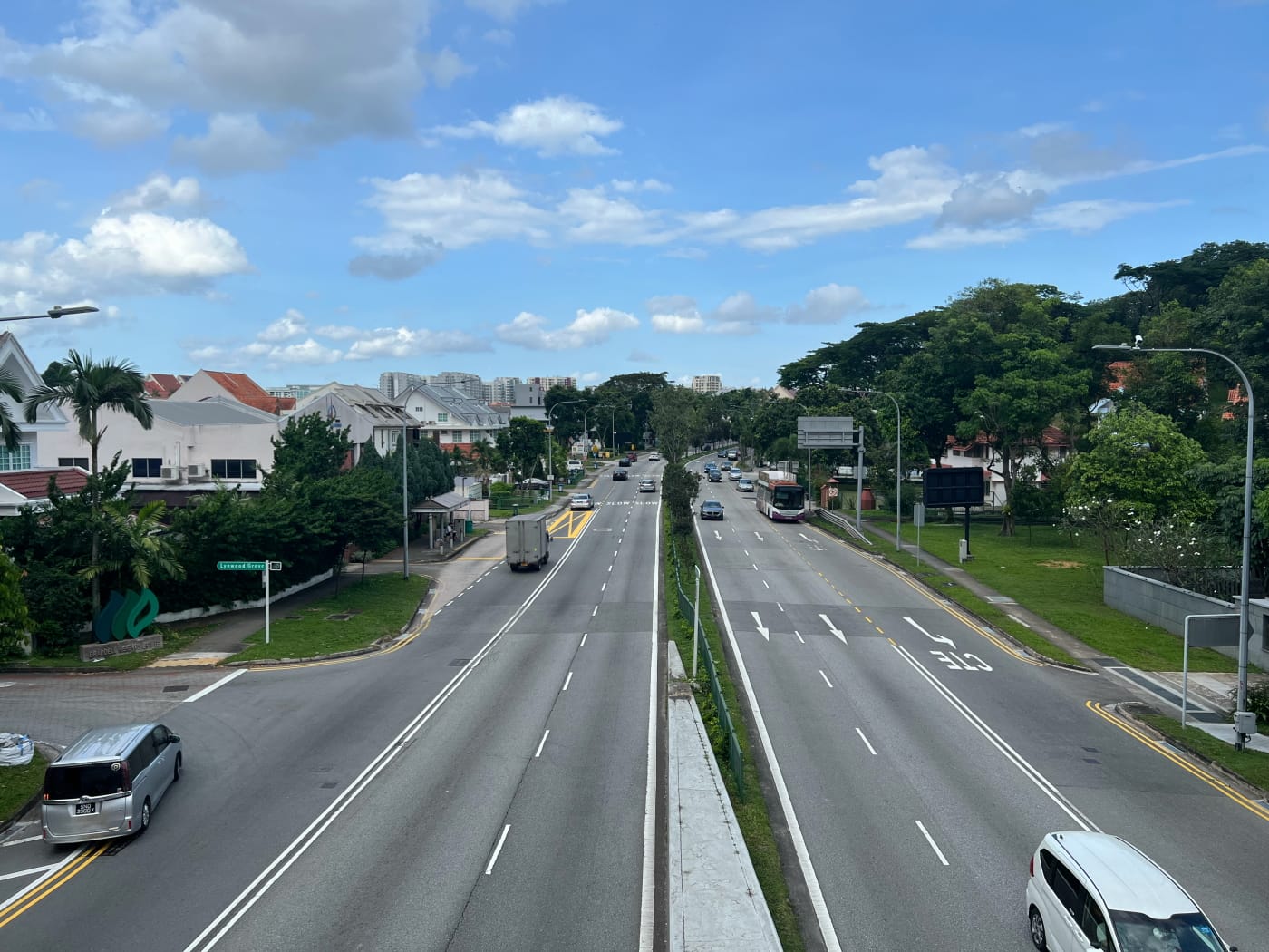
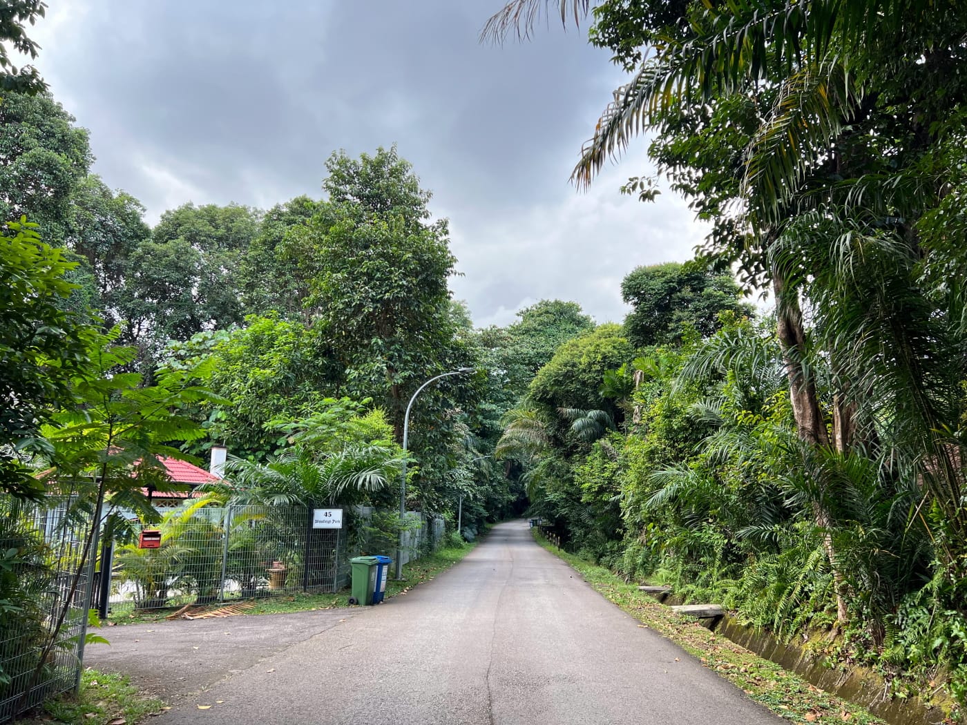
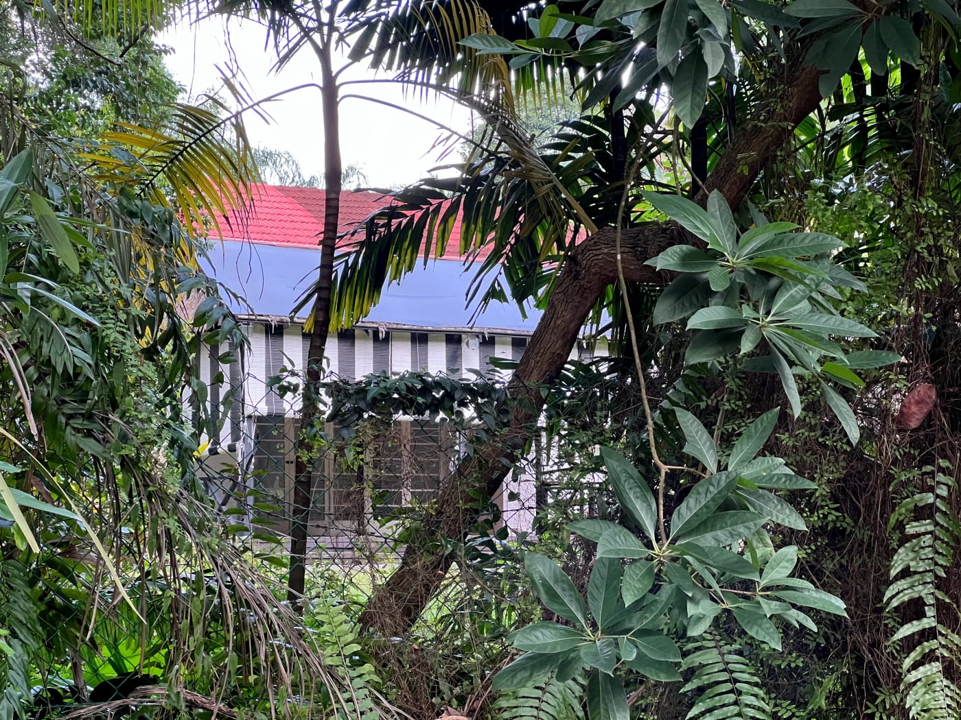
My route took me eastward down Braddell Road for a few minutes before turning into Woodleigh Park. Woodleigh Park is built into the side of a hill, so walking it did involve a bit of climbing. It wasn’t very steep, though, with dense tree cover providing ample shade throughout. Just like Carmichael Road, a single street runs through the entire neighbourhood, which I followed to its end back on Braddell Road, near Upper Serangoon Viaduct.

Black and white bungalows
Woodleigh Park plays host to some of the roughly 500 black and white bungalows remaining in Singapore. These were originally built to house senior colonial officers and wealthy expatriates. In the 50s, Singapore underwent a process of “Malayanisation”, with government departments increasingly staffed by locally-born officers. There seemed to be a brief period during which these bungalows were then given over to senior local officers for their residence. However, the City Council eventually reversed this policy, to some controversy. Officers had to purchase their own homes instead. I personally found the bungalows at Woodleigh Park to be not quite as beautiful and impressive as some of those I’ve seen elsewhere, such as along Malcolm Road or in Wessex Estate. But that’s subjective, I guess.
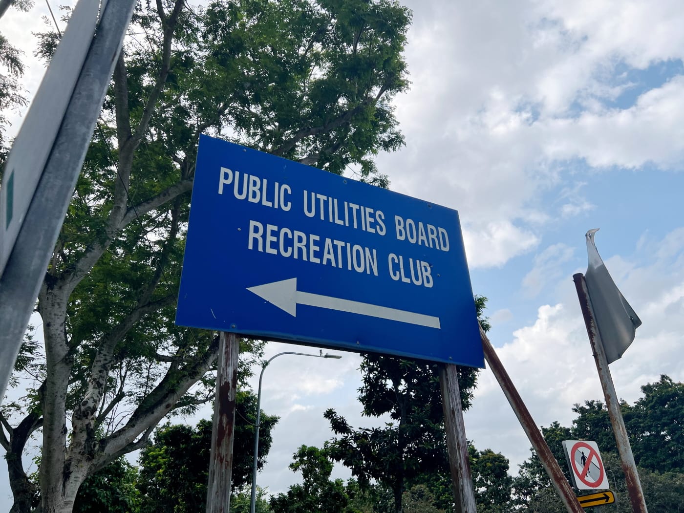
The PUB Recreation Club
Another feature of the estate is the Public Utilities Board Recreation Club (PUBRC). The PUBRC is a private sports and social recreation club whose members comprise employees of the Public Utilities Board (PUB) and related government agencies. The club’s website says it opened in 24 Oct 1975, but I found mentions of it in print media prior to this, in 1972 and 1968. Unlike the playground at Carmichael Road, the club seemed to be pretty packed when I walked by it, with cars parked all up and down the street outside.
The Public Utilities Board (PUB) in Woodleigh Park
As an interesting aside, other features of Woodleigh Park suggest a larger role played by the PUB in the history of the area. Apart from the PUBRC, the Singapore Power Training Institute occupies part of the eastern slope of the hill that Woodleigh park sits on. Singapore Power was, of course, formerly a department of the PUB, before it corporatised in 1995.
Then there’s the large PUB complex on the other side of the hill, facing Potong Pasir, which includes Woodleigh Waterworks. In fact, a remnant of Woodleigh Park exists on that side of the hill, branching off Upper Serangoon Road. It runs through the waterworks, before coming to a dead end near Carmichael Road. Topographical maps as late as 2010 show this connected to the rest of Woodleigh Park. A search on NewspaperSG reveals that there were already some kind of water works in Woodleigh in 1906. The PUB was only formed in 1963, so this would have been managed by its predecessor, the Municipal Water Department.
And finally many of the black and white bungalows in Woodleigh Park sit on land owned by the PUB (MK17-10850L). This is only speculation, but perhaps in the past, they housed officers of the Municipal Water Department. In fact, an article in the Singapore Standard in September 1953 mentioned plans by the City Council to build flats in Woodleigh Park for senior officers of the Electricity and Water Departments. I don’t know if these were ever built, and if so, whether they remain amongst the bungalows on the hill.
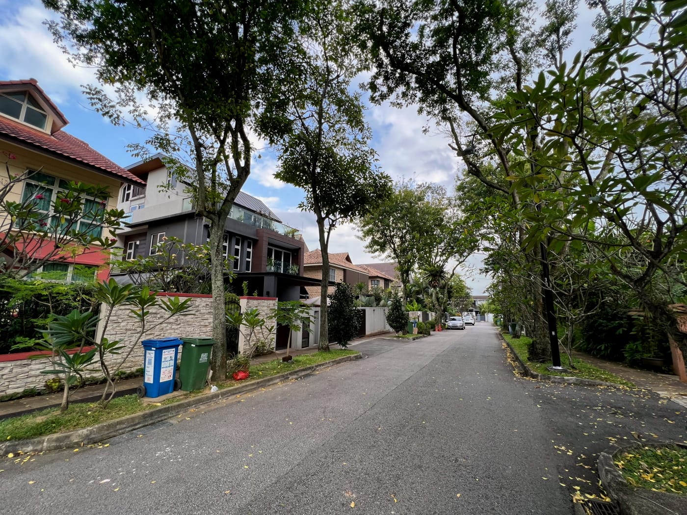
Braddell Heights
I crossed over Braddell Road (which has since morphed into Bartley Road), and head into the estate to the north of Woodleigh Park, Braddell Heights. My route through this estate is pretty windy, so I won’t bother describing it in detail. Look at the map at the end of this post to see how I walked it. You’ll probably want to plot your own route anyway.
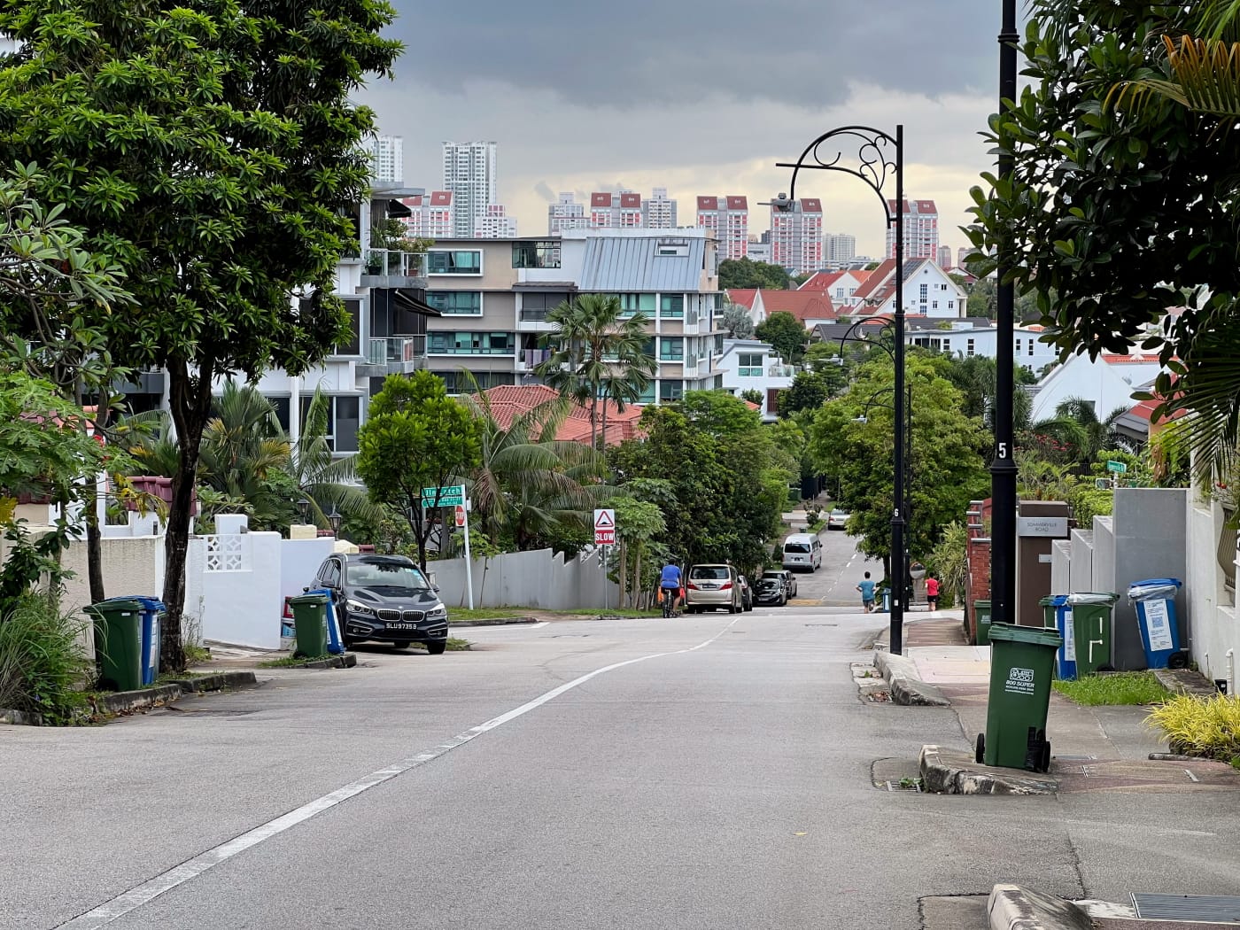
I will say that the estate was surprisingly hilly, which made for some nice, varied walking. Looking westward down Sommerville Road from near Sommerville Walk presented quite a vista, for example. Meanwhile, Sundridge Park Road and Melrose Drive were quite a task for my legs, which were getting wobbly from hunger. I’d had an early lunch and it was getting late in the afternoon.
A neighbourhood in two parts
Like Carmichael Road and Woodleigh Park, Braddell Heights appears in old street maps pretty early on, although not all at once. The 1954 edition of the Street Map shows the eastern third of the neighbourhood more or less as it is today. This section has streets named after places in England (and one in Scotland): Dunsfold, Muswell, Clifton, Chiltern, Cotswold, Matlock, Lynwood, Sundridge, Melrose.
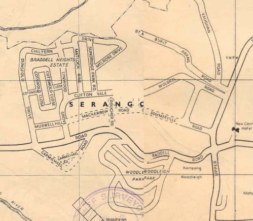

The same map shows another section of the neighbourhood only partly done. This comprises mainly streets named after European businessmen. Wolskel was the managing director of a local company. William McKerrow was proprietor of William McKerrow & Co. The Sommerville brothers were in the shipping business: one worked for Blue Funnel Line, the other was director of the Straits Steamship Company. Dr. F. B. Croucher alone was not a businessman, but a physician. He was Chief Medical Officer and Principle Chief Medical Officer in charge of the General Hospital between 1914 and 1920. Much of this section remains dirt track in the 1954 map.


The 1966 Street Map shows the space between Wolskel and Sundridge Park Road now filled in by several streets in Malay: Jalan Sukachita, Jalan Girang, Jalan Riang. Sukacita, Girang, and Riang are all words meaning joy or happiness. Wolskel, Mackerrow, and Croucher remain dirt tracks, their dotted lines only becoming solid in the 1972 Street Map.

Closing thoughts
I finished my walk following Wolskel onto Upper Serangoon Road, then heading from there to Serangoon MRT station. You might think that all private housing estates in Singapore look the same, but they really don’t. Each has its own distinct feel and flavour. I found Carmichael Road and Braddell Heights charming and unpretentious, free of the characterless mega mansions that plague some of the estates further south and west. All in all, it was a great afternoon out!

Walk details
- Date: Saturday, 19 February 2023
- Distance: 8.28km
- Time Taken: 1 hours 31 minutes
- Accessibility: The path along drain heading into Carmichael Road estate is not step-free, and may be uneven. However, it is easily bypassed. Simply walk along Carmichael Road instead. Woodleigh Park sits on an incline. Sections of it may pose a challenge for those with mobility impairments or using PMAs. I crossed Bartley Road using a pedestrian bridge. Street level crossing is available nearby, under Upper Serangoon Viaduct. Sections of Braddell Heights are similarly steep. This is particularly along Sommerville Road, Sundridge Park Road, and Melrose Drive. As usual in private housing estates, footpaths may be obstructed by bins, potted plants, open gates, etc. Road walking is likely unavoidable. Please be mindful of traffic.
Download KML file for Carmichael Road, Woodleigh Park, Braddell Heights route
Leave a Reply