Towards the end of April, I went on a walk from Bukit Merah to Orchard. I’d been on a few walks around Bukit Merah before, and found I quite liked the area, and would like to revisit it. At the same time, I was feeling like a bit of variety, and decided I’d spice the walk out a bit by starting it at Bukit Merah, but head out elsewhere from there.
The route I chose started out in an HDB estate, but quickly crossed over into condominium country, before winding its way through a landed housing estate, finishing off with a slice through some more commercial landscape in the River Valley area. You’re never bored with a walk like this!
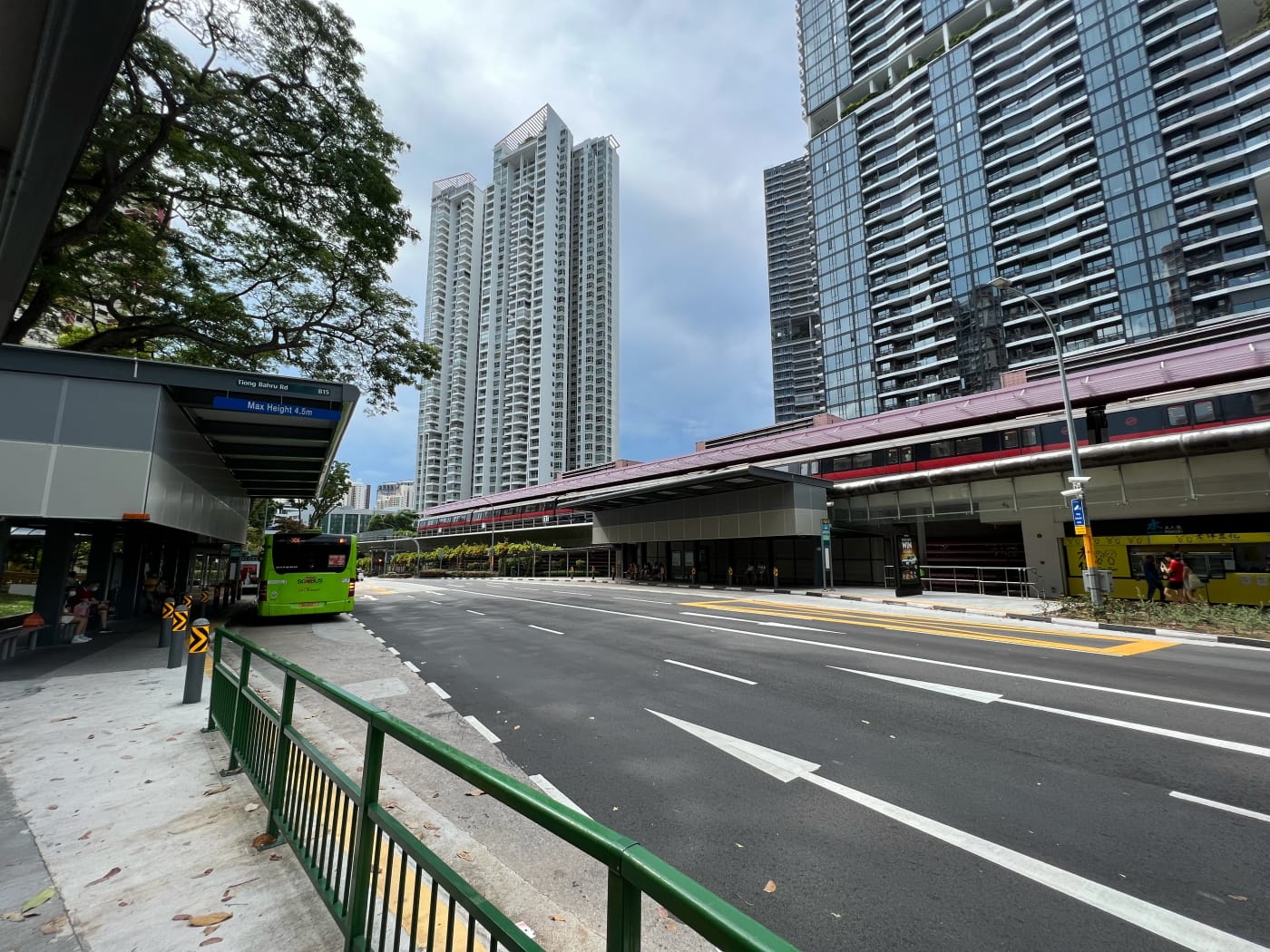
Bukit Merah Bus Interchange
I began my walk at Bukit Merah Bus Interchange. I’d been here a few times before, but not often. I’d always been struck by how surprisingly compact the interchange was, cramming most of the usual facilities of a bus interchange into a short, narrow building. The building itself was opened slightly over forty years ago, in 1981, and its layout apparently hasn’t changed much since then.
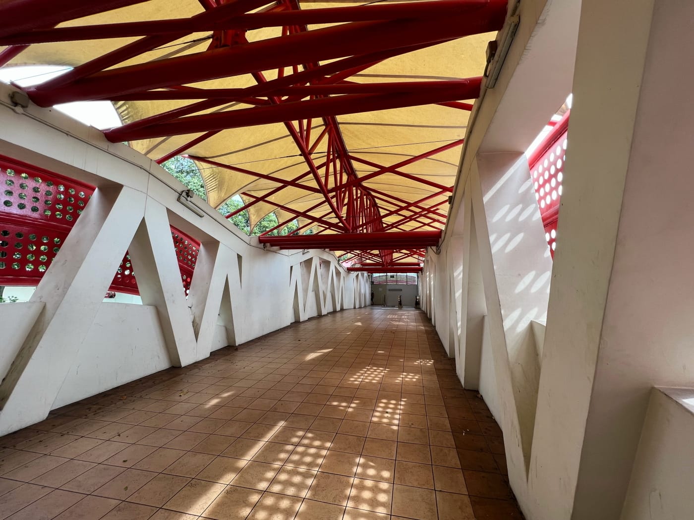
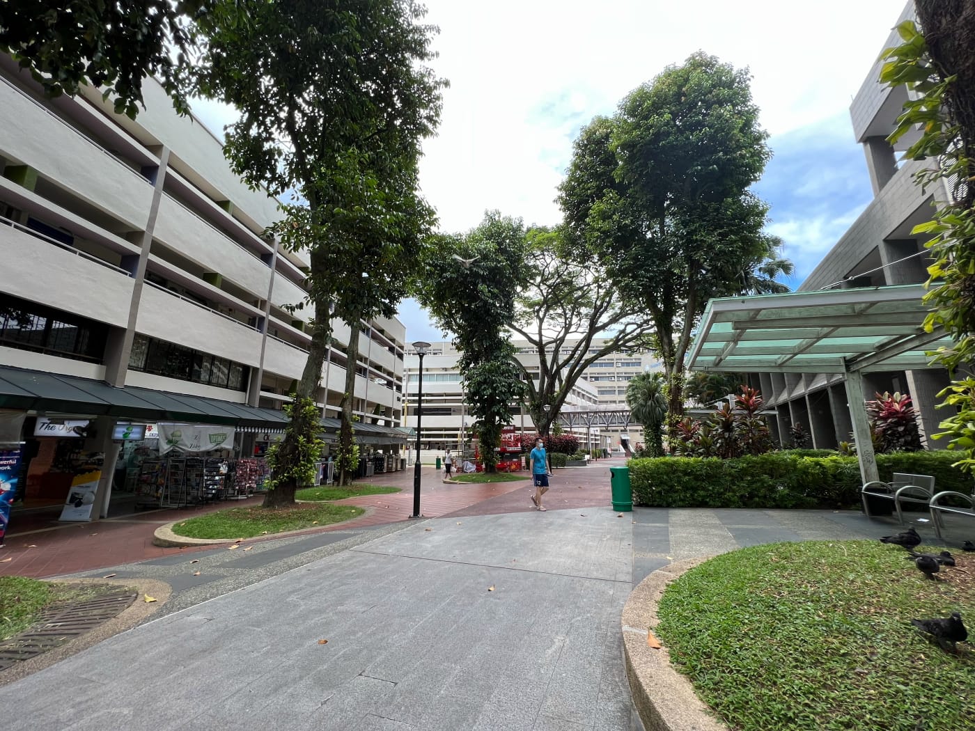
I crossed the rather fancy pedestrian bridge, added in the 1990s, into Bukit Merah Central. Having strolled through similar outdoor arcades in estates such as Ang Mo Kio and Toa Payoh, I have to say, I was rather unimpressed by this one. On the one hand, I really liked how green it was, lined by trees on both sides, offering shade and visual interest. On the other hand, despite the fact that there were lots of people about, the space felt rather… dead.
While researching this blog post I stumbled upon a Straits Times article in 1985 describing HDB town centres such as the one here in Bukit Merah as hubs of activity, transformed into carnival grounds on Saturday evenings, as families, children, and “young trendies” flock to them for fun and merriment without the traffic and the expense of Orchard Road. Hard to imagine now. Perhaps I chose the wrong time to visit.
Bee Hoon Plain / Rubbish Plain
The land now occupied by the bus interchange and town centre was apparently once known as Bee Hoon Plain, and then later on, Rubbish Plain. The former came about in the 1920s, when the area was occupied by a community of three Hokkien emigrant families: the Ngs, the Tans, and the Teos. These families lived in attap houses some of them making bee hoon and bean curd, and apparently leaving the bee hoon out to dry near the old KTM railway track.
Later, a plot of land nearby came to be used as a refuse pit, and so the area received the name Rubbish Plain as well. The juxtaposition between the two names seems rather disagreeable to me, but I guess these were different times.
How Bukit Merah got its name (?)
The newspaper article I found the story of Bee Hoon Plain and Rubbish Plain in tells another story: of how Bukit Merah got its name. With one significant twist, though.
Most Singaporeans would have heard the story of Bukit Merah growing up. I won’t go into detail. Suffice to say Bukit Merah means “red hill” in Malay, Redhill being another name the area is known by. The story goes that swordfish once plagued the coast of Singapore, attacking and killing the people living along the water. A young boy came up with a clever plan to line the coast with banana stems. When the swordfish attacked, they pierced and got stuck in the stems, where they could be easily cut down and killed. The boy was hailed a hero. This made the sultan of the time jealous, however, and he sent assassins to kill the boy in his sleep. This they did. Blood poured forth from the boy and spilled all over the ground, turning it red. And so it has stayed red ever since.
The story told in the newspaper article had the sultan send four soldiers after the boy. They never made it to his house, however, because on the way there, they encountered a woman with long, white hair, who conjured up a fountain spewing forth blood. The soldiers were so horrified by the sight, they gave up their task.
I don’t think I’d ever heard this version of the story. It’s the nature of folklore that there are as many versions of a story as there are people who tell it. Makes you wonder about all the different variations of the stories we know, or think we know. And who decides which version is the real, canonical one?
Redhill Close and Redhill Rise
I crossed a pedestrian bridge over Jalan Bukit Merah and headed north up Redhill Close. On my left was the former Redhill Gardens neighbourhood. Only last year I’d gone for a walk and wandered through it. Now it lay demolished, surrounded by grey construction hoarding several storeys high. I wish I’d thought to take more pictures.

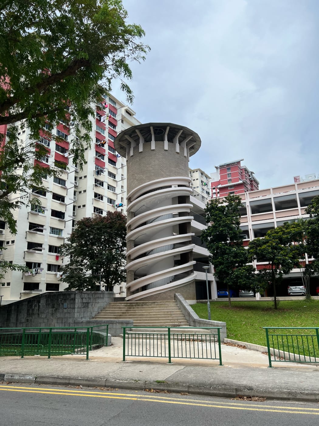
Heading in the direction of Redhill Market, I passed by a multi-storey public carpark with an interesting spiral stairway leading up it that was encased in a structure designed to resemble a castle tower. Kind’a random, in a good way. As far as I could tell, none of the rest of the carpark bore any kind of castle-like design.
I passed by Redhill Market and turned onto Redhill Road. Part of the market looked boarded up. I’d love to say something about the history of this market, but unfortunately I wasn’t able to find very much. An article in the Singapore Standard on 4 Aug 1956 mentions a “Redhill Market”, but the article isn’t accessible online, so I wasn’t able to confirm it refers to the same market (NewspaperSG, “Fun Fair”, Singapore Standard 4 August 1956). A 1953 topo map of the area shows buildings on the site of the current market, but they aren’t labelled.

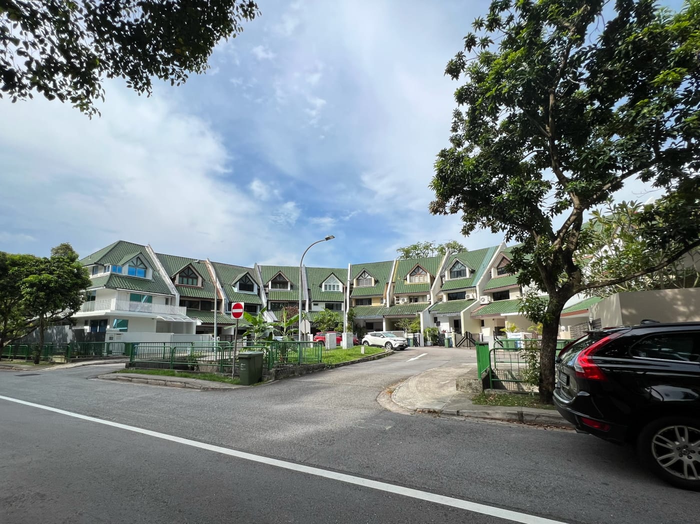
I wandered into the Redhill Rise development on Redhill Road. Not much I want to say about it, except that accessibility was very inconsistent, and at some points really quite questionable. For example, I entered the neighbourhood via a sheltered car/taxi drop-off point, which had a ramp leading from it into the neighbourhood. However, to get to the drop-off point itself from the street there were only stairs, and no ramp. So I guess the assumption is, if you’re on a wheelchair, you would only ever be arriving by car or taxi?

Nevertheless, it was a Sunday afternoon and there were lots of children about, playing in the little park nestled amidst the HDB blocks. Always a welcome part of any walk. I wound my way through the development before crossing Tiong Bahru Road into Redhill MRT station.
Prince Charles Crescent
I didn’t linger at Redhill, but passed right through it, crossed Alexandra View, and headed down a narrow path between two condos, emerging onto Alexandra Road. This I crossed as well via pedestrian bridge, heading briefly eastward before turning left onto Prince Charles Crescent.
Assuming I don’t take too long to write this post, the timing of it will be quite fortuitous, because of course Prince Charles Crescent is named after Charles III, whose coronation it was just this past weekend. The street received this name in 1951, alongside Prince Philip Avenue and Princess Anne Close, both nearby, named after Charles’ father and sister respectively. Princess Anne Close has since been expunged, although part of it remains as a footpath between Tanglin Regency and Tanglin View condominiums.


I followed Prince Charles Crescent over the Alexandra Canal, and the Alexandra Park Connector, which runs alongside it. Alexandra itself is named after Queen Alexandra, a princess of Denmark who wed Albert Edward, then Prince of Wales, who became Edward VII in 1901. This makes her Charles’ great-great-grandmother.
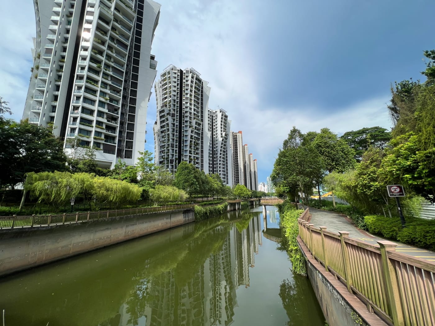
Alexandra Park Connector was completed in 2006 at a cost of S$1M. I’ve walked its length quite a few times, following the Singapore River up from Fullerton until it turns into Alexandra Canal at Kim Seng Bridge, walking all the way up to Queenstown. Not today, though. Today, I kept along Prince Charles Avenue, turning right at the junction with Jervois Lane, and continued all the way down towards My Saviour’s Church.
Jervois Road and River Valley Road
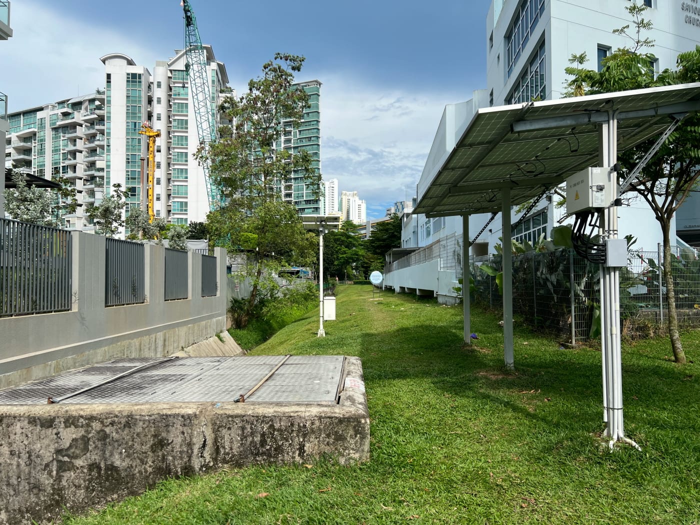
The grassy patch running alongside Prince Charles Crescent across the street from Principal Garden condominium forms part of the Pipeline Trail. This is an unofficial hiking trail following the path of the pipes bringing water from Johor into Singapore. It runs southward all the way from Marsiling, slicing its way across the country, and comes to an end very close to here, at the arched pipeline near Indus Road, although the pipeline itself runs a short distance further to Pearl Hill. I’d walked this trail twice before, and hope to walk it again someday. (More info here, here, and here. Feel free to leave questions in the comments.)

For now, though, I headed down a narrow footpath onto Jervois Road. Jervois Road is a strange road, because it runs from Tanglin Road to River Valley Road, but along the way branches out three separate times, each branch bearing the same name: Jervois Road. I crossed over onto the middle branch, near Mon Jervois condominium. From there I traced a twisty path onto River Valley Road via Holt Road and Nathan Road.
I headed northeast on River Valley Road towards Zion Road, but took a detour down Kellock Road and Zion Close first, emerging onto Zion Road near Great World City.
Great World City and Zion Road
I don’t recall ever having visited Great World City. It’s possible I have and simply don’t remember. But it’s just not a mall that’s figured very highly in my life. The mall was technically rebranded simply “Great World” at some point, but I suspect to a lot of people, me included, it’s always going to be Great World City.
The development rests on the site of the former Great World Amusement Park, which as established here in 1929, closing nearly half a century later in 1978. Plans for the development were announced as early as 1980, touted as a “mini Orchard Road”. These plans were scrapped in 1984, ostensibly because prospective developers changed their mind about the profitability of the venture, although at least one analyst speculated they were just stalling for time for the real estate market to bottom out before trying again. New plans were announced in 1991, with a date for completion set in 1994. This was delayed yet again, and Great World City was finally launched in October 1997 (Source article not readable online. NewspaperSG, “Great World City opens”, The Straits Times 17 October 1997).
Zion Road is, as far as I’ve been able to tell, one of only three streets in Singapore with names starting with “Z”, the other two being Zehnder Road and Zubir Said Drive. It’s also the only road I know of in Singapore with a name from the Bible. The street was named by Benjamin Keasberry, a British missionary (The source I linked calls him American, but he was born in Hyderabad, India, to British parents), who opened a boarding school for Malay boys in the area (Sources disagree whether he opened the school in 1940 or the 1950s).
Hoot Kiam Road and Paterson Hill
Home stretch. It was easy going from Zion Road to Orchard MRT, where I’d decided to end my walk. Past River Valley Road, Zion Road turned into Hoot Kiam Road, named after Song Hoot Kiam. Song was a leader in the Straits Chinese Church, which had its roots in the Malay Church founded by the aforementioned Benjamin Keasberry. The Straits Chinese Church would later become the Prinsep Street Presbyterian Church, which continues to operate today.
Song Hoot Kiam was also father to Song Ong Siang, similarly a leader in the church, the first Chinese in Singapore and Malaya to be knighted by the British crown. He founded Singapore Chinese Girls’ School, with Dr Lim Boon Keng, and wrote the book One Hundred Years’ History of the Chinese in Singapore.
Past Grange Road, Hoot Kiam Road then turns into Paterson Hill, named for William R. Paterson, a British merchant who lived in Singapore in the mid-19th century. I’m sure he was an interesting person, but I don’t really have much to say about him, but I followed his namesake road to near its end at Orchard MRT.
Orchard MRT and end
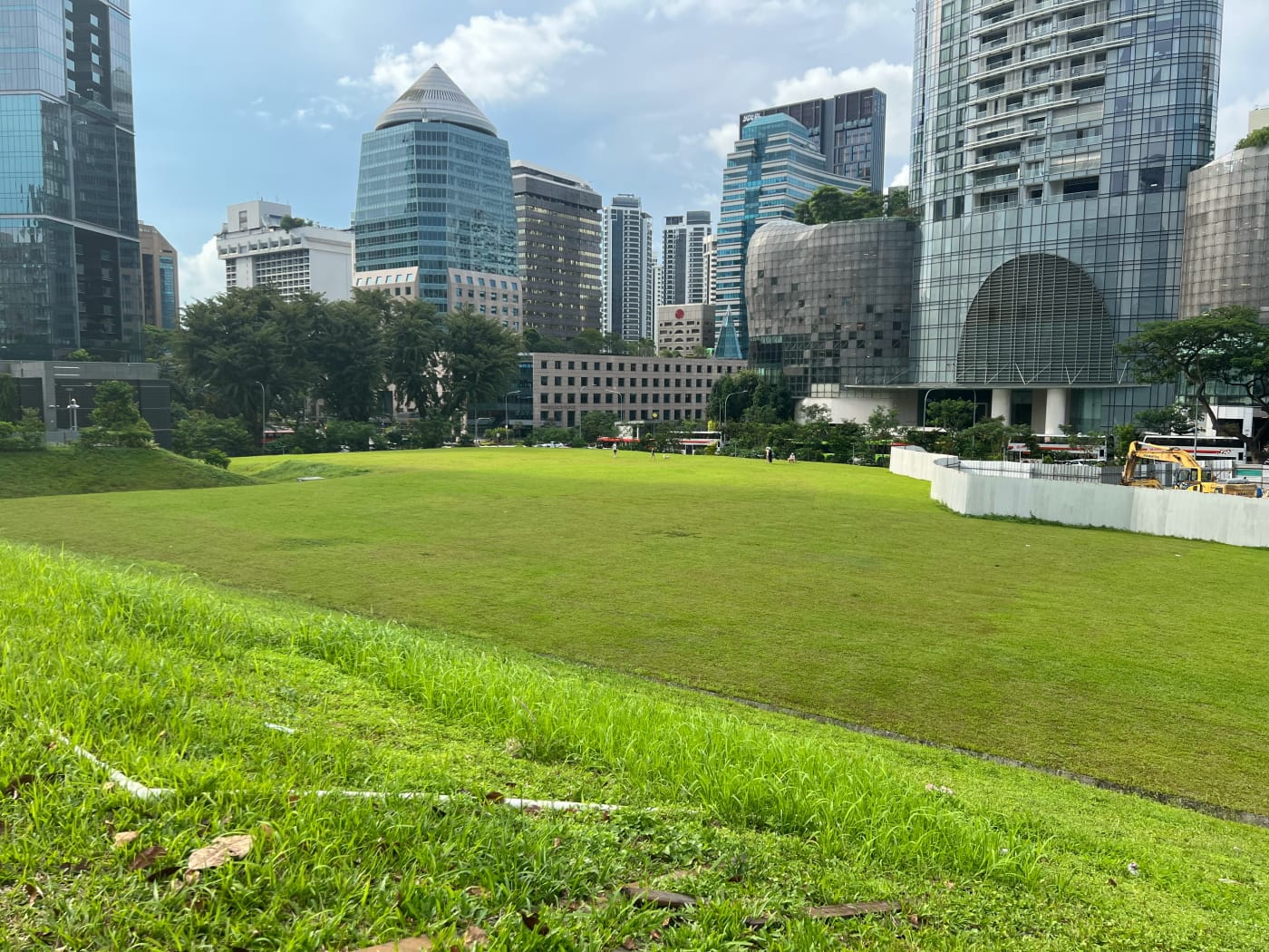
I was about to head into the station when I noticed a narrow road running up the hill from Paterson Road, and decided to head up to take a look. Perhaps there would be an interesting view of Orchard Road up from up there. There wasn’t really. The hill wasn’t high enough to offer particularly exciting perspective. I was surprised, however, to find a large, open field, sitting just behind Orchard ION. I don’t remember this field being here! Where had it come from? And what was such a big plot of land doing going unused almost smack in the middle of Orchard Road?
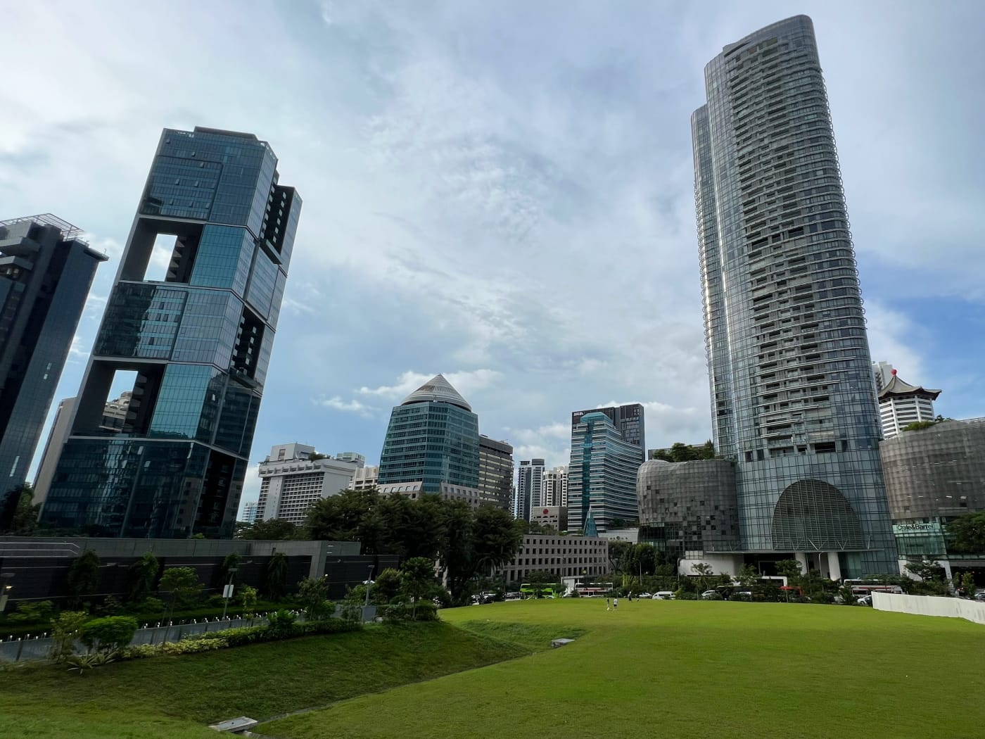
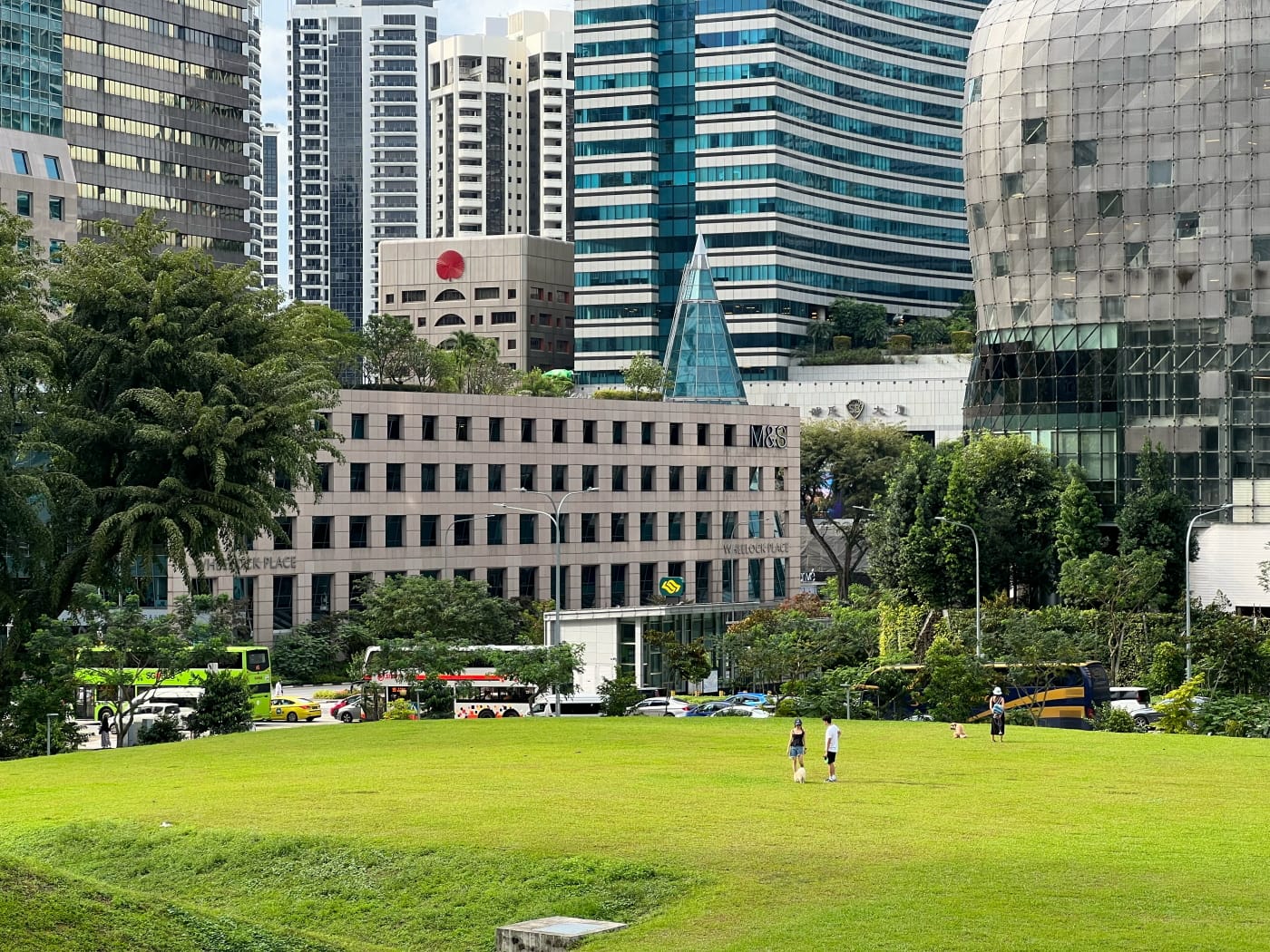
Turns out the Thomson-East-Coast Line (TEL) platform of Orchard MRT station lies right under this field. The land had been dug up to build the platform, and then filled back in. The land has been set aside for commercial and residential use, so it’s only a matter of time before its developed, but for now, it seems like a nice place for people to run their dogs, like some people were doing when I visited. At least until the “No Trespassing” signs go up anyway.
With that, I headed back down into the MRT station and ended my walk. All in all, a pleasant walk, with a good bit of variety.
Walk details
- Date: Sunday, 23 Apr 2023
- Distance: 6.6km
- Time Taken: 1 hour 26 minutes
- Accessibility: Mostly accessible up to Zion Road. The exception is Redhill Rise, where accessibility is very inconsistent, which is disappointing since this is a newer development. The only step-free access I personally saw leading into the development is on Tiong Bahru Road, across the street from Redhill MRT station. There may be others. For sure the route I plotted through the development is not accessible. Hence if you are keen to explore the area, I would recommend ignoring my plotted route and just heading in via Tiong Bahru Road. Footpath between Prince Charles Crescent and Jervois Road is step-access only. Zion Road and Hoot Kiam Road are full of obstacles, including trees growing in the middle of narrow paths next to heavy traffic. Detours look possible for both, but I can’t vouch for them. See accessibility notes in map for more details and suggested detours.
Download KML file for Bukit Merah to Orchard route.
Leave a Reply