I have a sort of fondness for Clementi that comes from the fact that I spent a lot of time there in my 20s, a period of exploration in anybody’s life, mine no less so. I was pushing the boundaries of who I was, what I believed in, who I wanted to be. Clementi formed a backdrop to all of those emotional meanderings.
One Sunday in July this year I decided to go for a wander in the area, specifically part of it I had never really explored, around Avenues 1 and 2. Not really sure why. Perhaps I felt like walking somewhere technically new, yet familiar enough I didn’t really have to try that hard to navigate.
Dover and Little England part 2
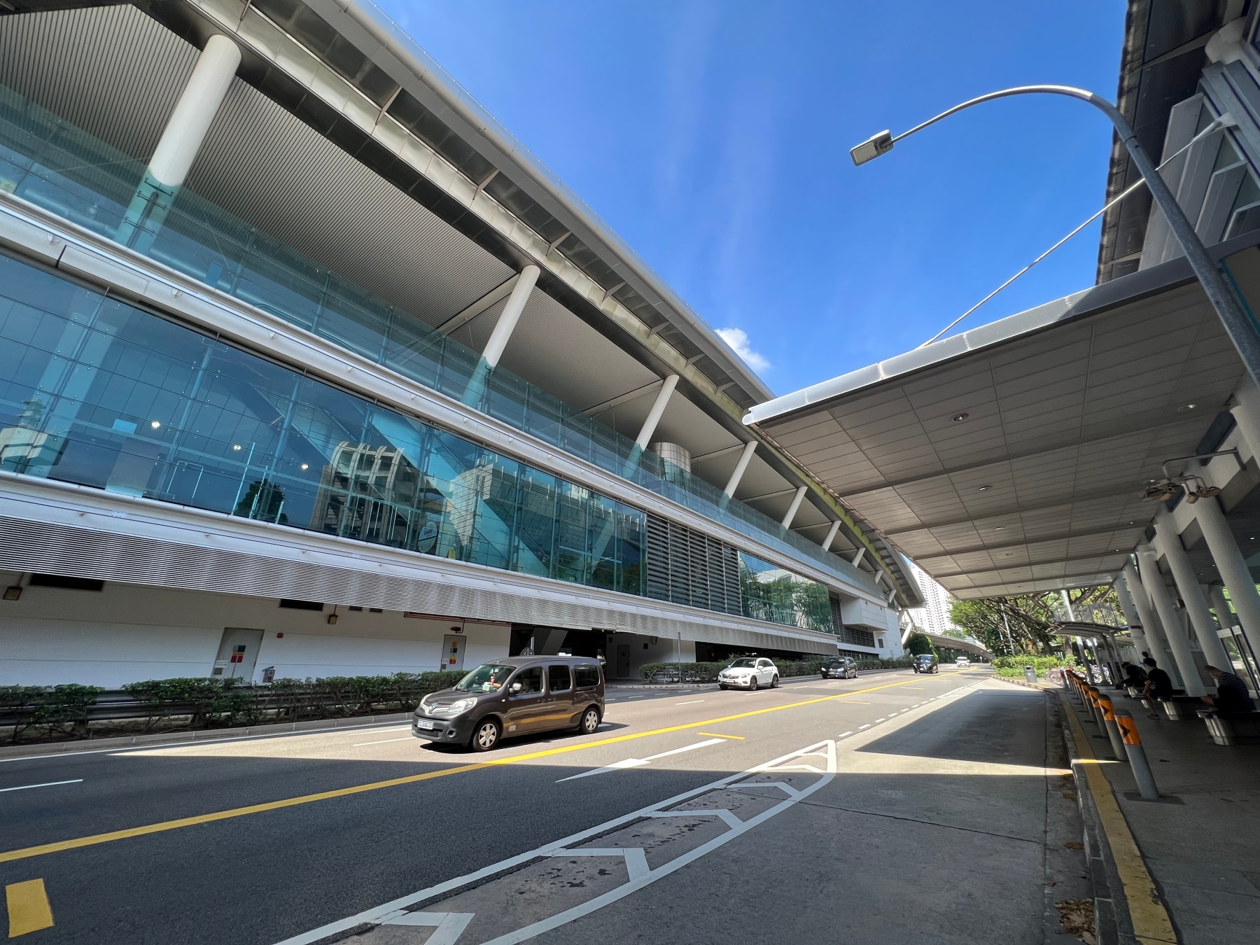
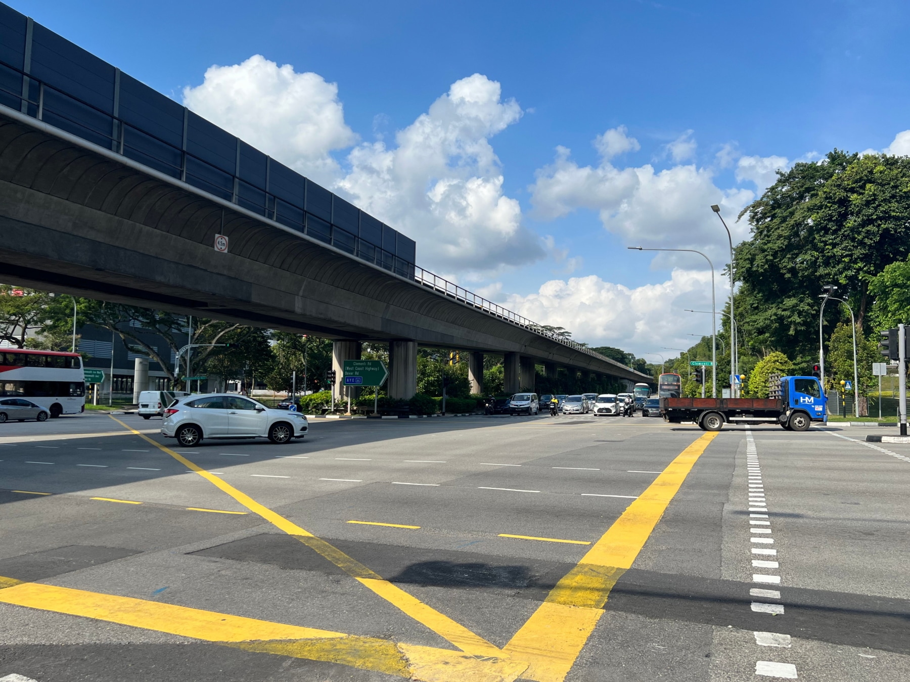
My walk began at Dover MRT station on the East West Line, a station which, in my mind, was opened only recently, being an infill station added to the line some time after the line came into operation. In fact, it’s not quite new anymore, having been opened over 20 years ago, in 2001. Sort of shows my age. The station bears a sharp, steel-and-glass design, which I suppose was starkly modern for the time, and, unlike older stations on the line, has a “Spanish solution” platform layout. Always quite the contrast riding the MRT from Buona Vista to Clementi.
Leaving the station, I followed Commonwealth Avenue West towards Clementi Road, just along the boundary of Singapore Polytechnic. Dover calls to mind another walk I recently blogged about, from Bugis to Newton. Just like some of the roads I encountered on that walk, Dover is named after a place in England. The area around Dover Road was once home to British Army personnel stationed here. Consequently, Dover Road itself, along with other streets nearby – Deal Road, Folkestone Road, Maidstone Road, Sandwich Road, St. Margaret’s Road, all within the Medway Park estate – are named after places in the county of Kent in South East England.
Which Clementi gave Clementi its name?
Arriving at Clementi Road, I crossed it and turned left, heading southward along it. There seems to be some disagreement over who Clementi Road was named after. There are two prominent Clementis in Singapore history, the first being Sir Cecil Clementi Smith (1840-1916), governor and commander-in-chief of the Straits Settlements from 1887 to 1893, and his nephew, Sir Cecil Clementi (1875-1947), who, confusingly, held the same office from 1930 to 1934.
Ng Yew Peng in his book What’s In The Name? How The Streets And Villages In Singapore Got Their Names, frequently referenced in this blog, notes that Clementi Road was renamed from Reformatory Road in 1947, a few months after the younger Clementi’s passing, and also points out that “Clementi” was the elder Clementi’s second name, and it seems unlikely a street commemorating him would be called after this part of his name, rather than his first or last.

Most others however, including Victor Savage and Brenda Yeoh in their book Singapore Street Names: A Study of Toponymics, also frequently cited here, attribute the road to the elder Clementi. And, for what it’s worth, it might bear noting that the elder Clementi was well-liked amongst the local community in Singapore during his term, while the younger Clementi was unpopular for his suppression of anti-colonial propaganda and his policies on education and immigration.
Clementi Avenue 1 and the former Sussex Estate
Heading south down Clementi Road I passed by the towering HDB blocks of the Casa Clementi development on my right, which I would be walking through later on. For now, suffice to say the development sits on land formerly occupied by an area once called Sussex estate. Yet another neighbourhood named after a place in England. This was developed in the 1950s, originally housed the families of British senior non-commissioned officers, and was only demolished in 1997. This according to Wikipedia, which provides no citations, so I wasn’t able to verify this. Historical street maps do show a Sussex Estate right up to the 2000 edition, although this is not to say the estate itself could not have been demolished, and only the streets remaining. The National Library has rather a few photos of Sussex Estate in its photo collection. Be sure to check them out!


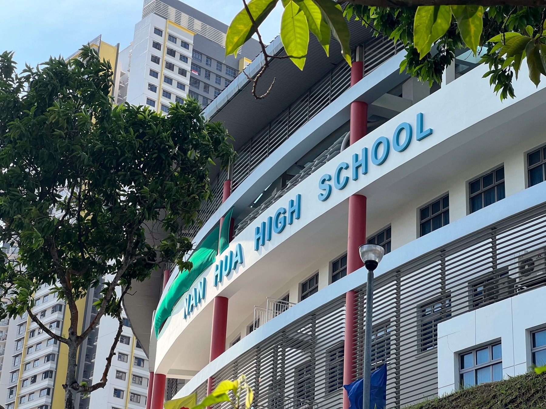
I turned right down Clementi Avenue 1 and followed it as it swooped westward, curving steeply around Nan Hua High School, which occupies quite an impressive and modern-looking campus. Hard to believe it’s been here exactly 20 years, having moved to 41 Clementi Avenue 1 in 2003 from just across the street from 330 Clementi Avenue 1. Glancing past the Clementi Peaks development across the road (perhaps to be visited during a future walk), I turned right into Casa Clementi.

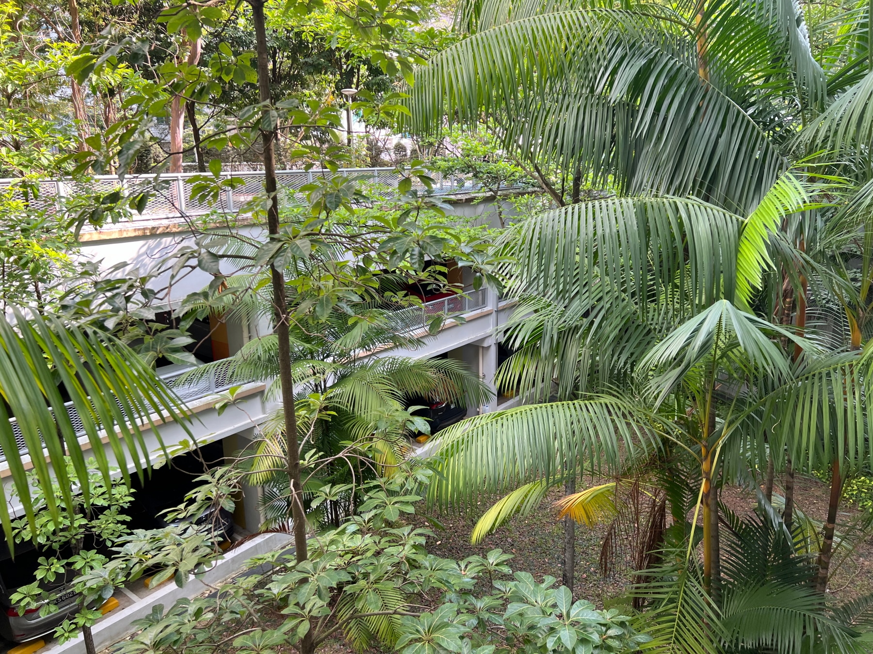
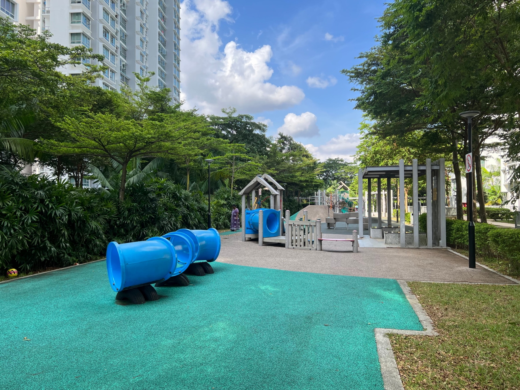
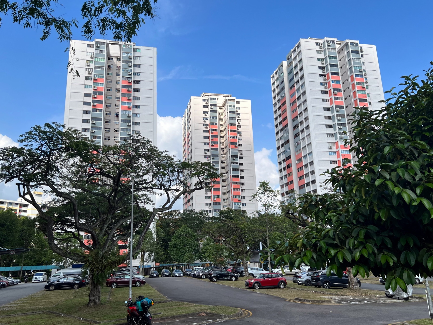
Skyrise greenery at Casa Clementi
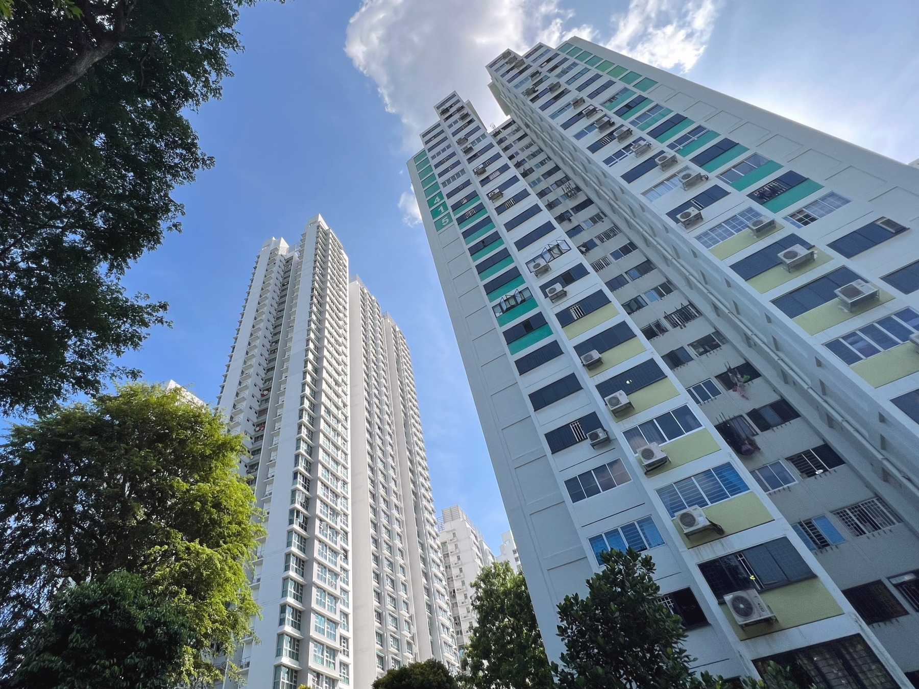
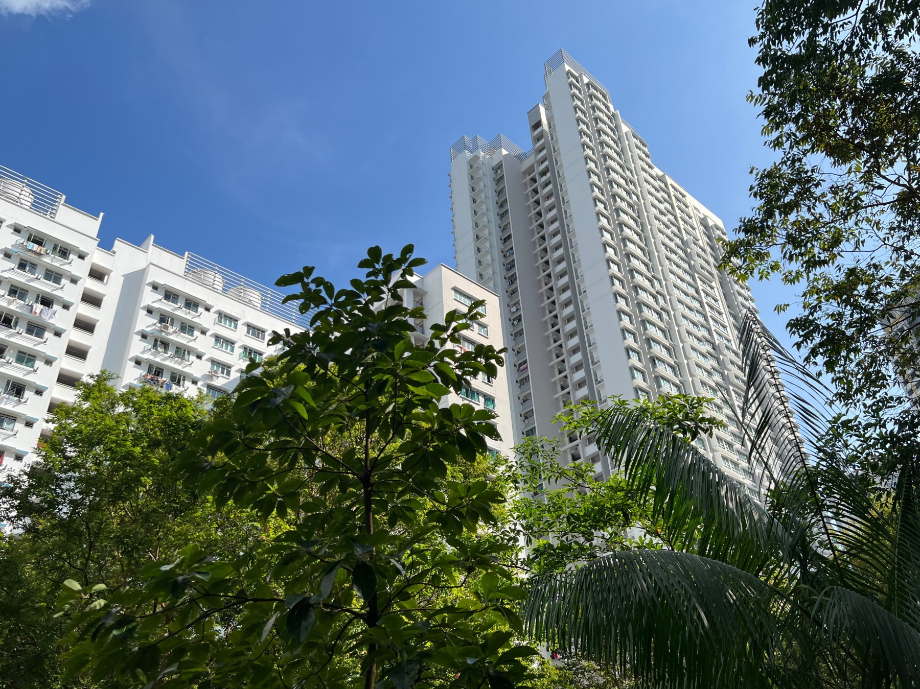
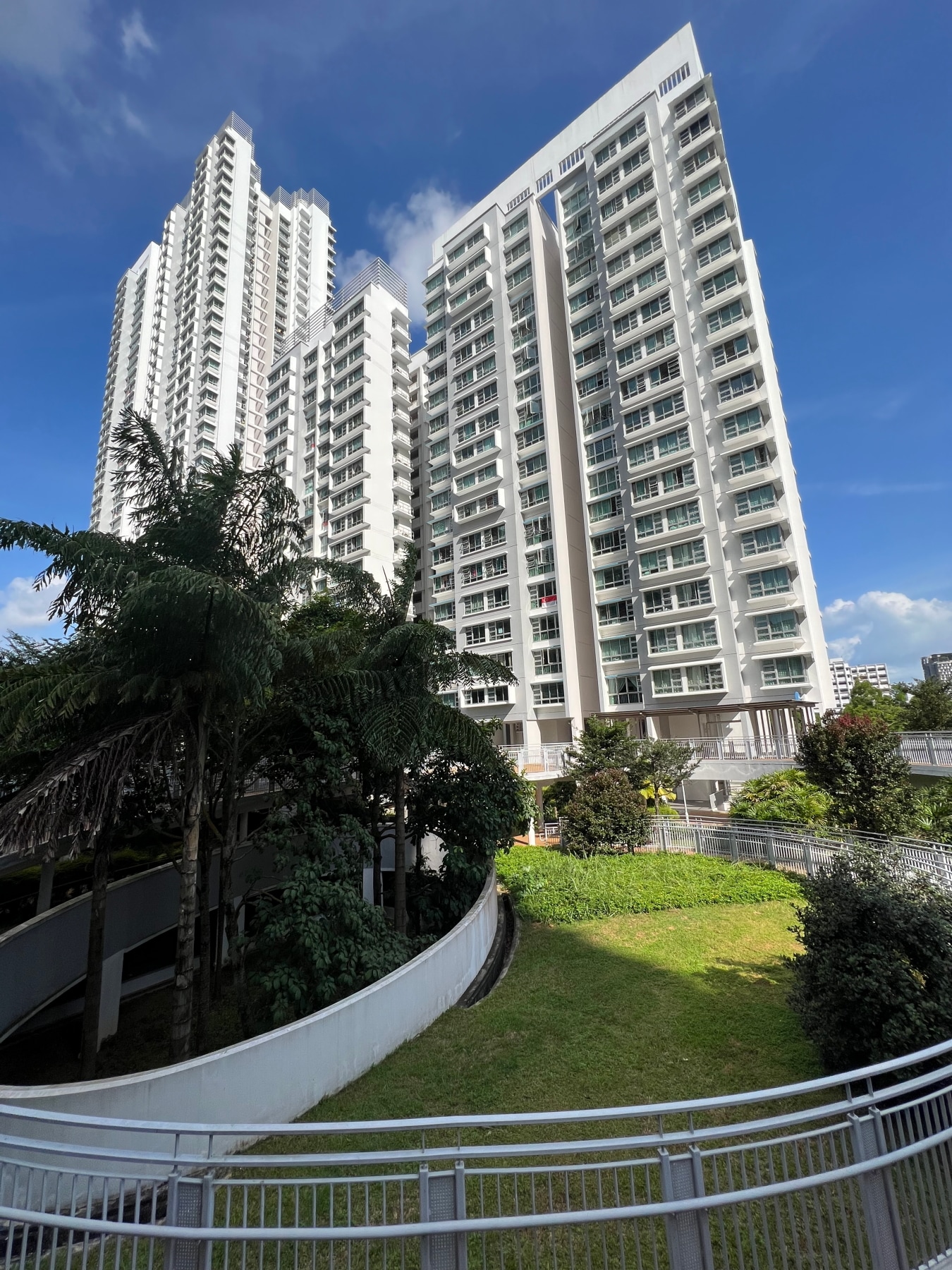
I’d written briefly about HDB rooftop gardens before in my Bukit Batok post, and visited plenty more elsewhere across Singapore, particularly Sengkang and Punggol, but Casa Clementi takes the idea to – dare I say it – a whole new level. Not just a garden, but the whole development seemed raised up off the ground. Ten high-rise residential blocks comprising 2,234 dwelling units form a vaguely hourglass-shaped canyon, nestled amidst them a series of gardens and playgrounds built upon the rooftops of a multi-storey carpark. The weather was swelteringly hot, but as I made my way through the development, I was both relieved and impressed at how much of the time I actually spent sheltered under tree cover.


The earliest reference I could find regarding rooftop gardens being built on multistorey carparks is this article, which mentions a 2003 experiment by the National Parks Board (NParks) to convert the top of one such carpark into four “green plots” each about half the size of a football field. The experiment apparently that this reduced the heat on the building’s surface and the surrounding air by 18 and 3 degrees Celsius respectively. By 2006, the Housing Development Board (HDB) had introduced a policy to build rooftop gardens or green roofs in every multistorey carpark in public housing estates. Starting 2009, all new multistorey carparks were designed with such rooftop gardens and green roofs.
2009 is the same year NParks introduced its Skyrise Greenery Incentive Scheme, to encourage the retrofitting of rooftop and vertical greenery in existing buildings, both public and private, while the Urban Redevelopment Authority (URA) came up with its own, complementary Landscaping for Urban Spaces and High-rises (LUSH) scheme offering incentives to incorporate rooftop greenery in new developments.
By 2013, 100 HDB multistorey carparks had been building, creating 20ha of skyrise greenery across the island, with more than 100 more in construction. An undated article on the Ministry of National Development’s (MND) website puts the total amount of skyrise greenery in Singapore at 100ha, noting an aim to double this to 2000 ha by 2030.
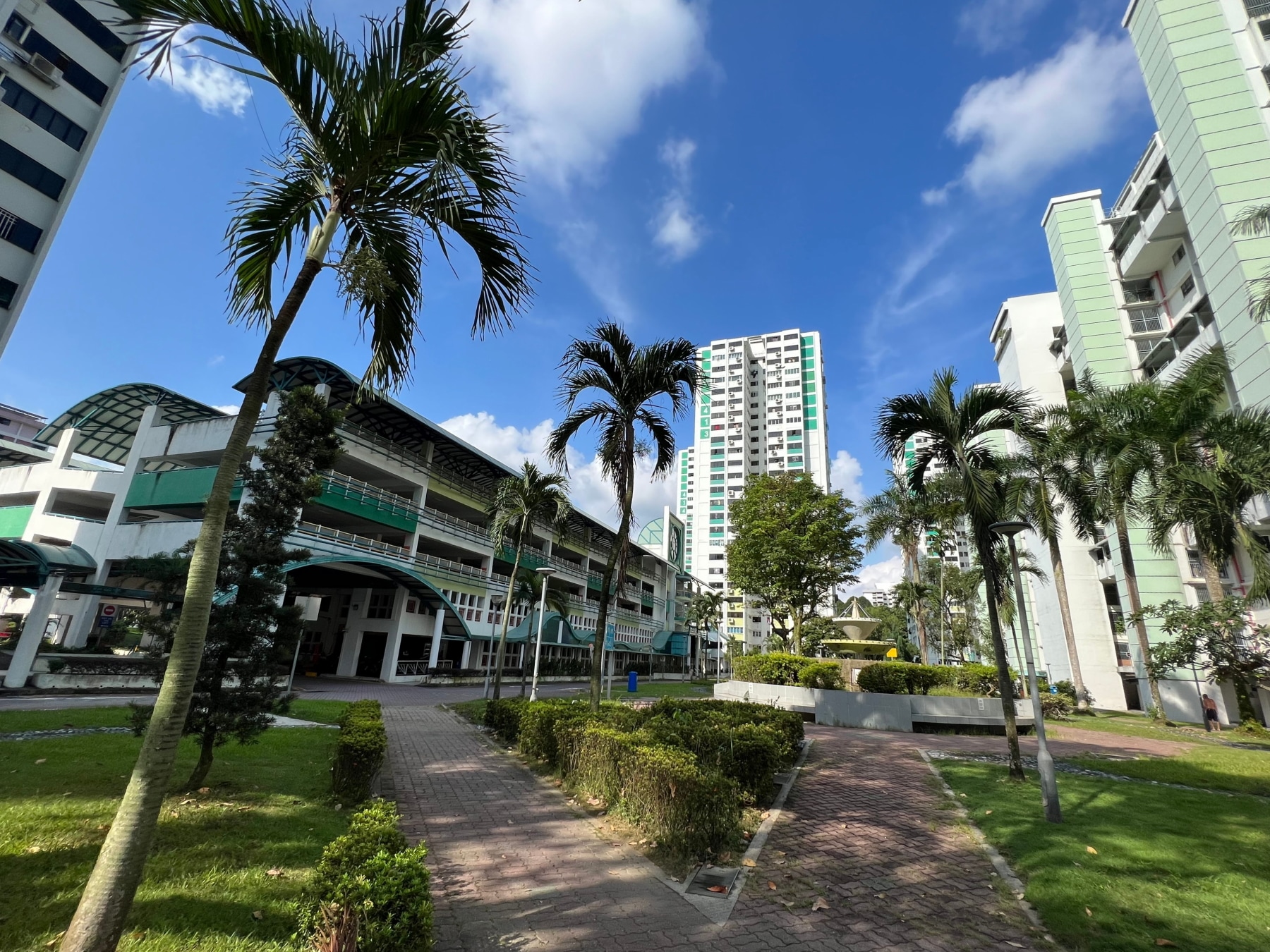
West Coast Court

Reaching the eastern end of the development, I circled back round and headed down to ground level via a large circular ramp, then crossed north into the adjacent West Coast Court development. This was a much older estate, amongst the first to be built in Clementi, appearing for the first time in the 1978 edition of the Singapore 1:50,000 topographical map. Nevertheless, it wasn’t hard to see parallels between the two developments, the residential blocks making up West Coast Court enclosing their own little green space, somewhat humbler, but no less pleasant to stroll through.


The beginnings of Clementi New Town
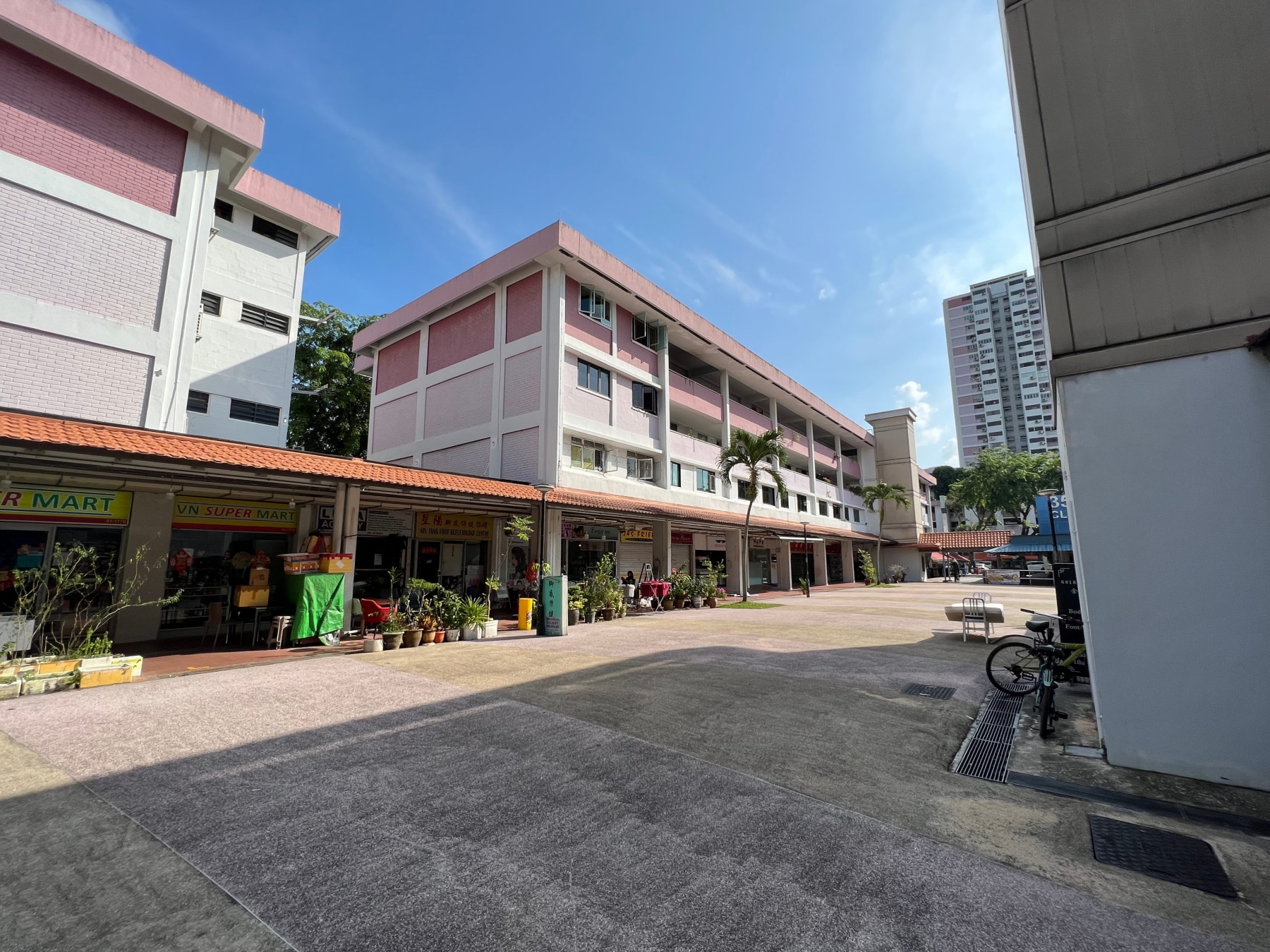
Reaching the eastern end of West Coast Court, I crossed Commonwealth Avenue West and headed north, following a footpath running right by blocks 366 and 367. It didn’t take long for me to arrive at an open air shopping arcade, nestled between blocks 352, 353, and 354. Just like West Coast Court, these flats were visibly much older than the ones at Casa Clementi, and indeed were amongst the first to be built as the new town of Clementi was developed, almost exactly 50 years ago!
Construction on Clementi began at the end of 1974. Plans for the new town were ambitious. A total of 26,000 flats would be built to house 130,000 people, figures later revised upwards in December 1975 to 30,000 units housing 150,000 people. The new town would occupy 425 ha. It would comprise seven neighbourhoods, each with its own, distinct identity. One of these neighbourhoods would be the main town centre, modelled after Toa Payoh, developed a decade earlier. This main town centre aside, each neighbourhood would have its own town centre or square, a hawker centre, and a market, while provisions were made for the Clementi as a whole to enjoy amenities such as sports and swimming complexes, schools, cinemas, clinics, and so on.
By October 1978, construction of Phase 1 of the new town was halfway completed, and looked to be done by late 1979, with work on Phase 2 due to begin in the middle of that year. I wasn’t able to ascertain which parts of Clementi were in Phase 1 and Phase 2, or whether Phase 1 was indeed completed in 1979. I’m sure the information is out there somewhere. But it does seem like the bits I walked this day were in Phase 1 anyway, based on what I see completed in the 1978 topographical map I excerpted earlier.
The development of Clementi was part of a larger plan to house Singaporeans in HDB new towns. Clementi itself was only the latest of eight such new towns developed since the 1950s, the earlier seven being Queenstown, Toa Payoh, Telok Blanchard, Woodlands, Bedok, Ayer Rajah, and Ang Mo Kio. A New Nation article from July 1975 features a neat little table with more information about each of these new towns you might want to check out.
The plan was for 1.3 to 1.45 million Singaporeans to be living in these eight new towns by 1980, and as of March 1975, 46.8% of Singapore’s population already lived in HDB flats. By 2022, this figure was 77.9%.
Clementi Shine
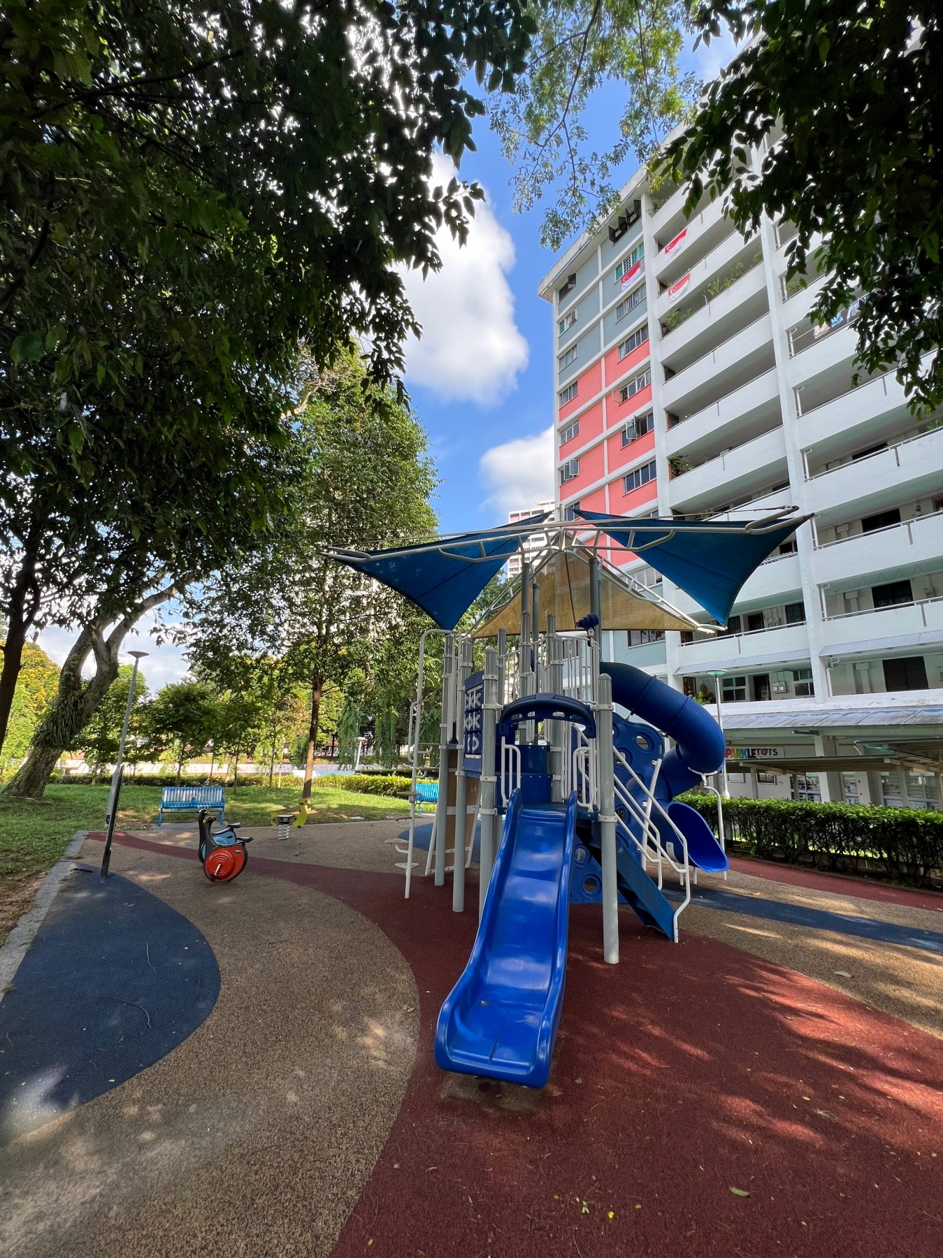
The rest of the walk is sort of convoluted, and so I won’t describe it in extraordinary detail. I passed through the shopping arcade and food centre and Block 353 and found myself in front of block 351, where a playground sat, empty for now, but looking recently upgraded. I followed block 351 around, passing through a quiet, shaded green space, towards three point blocks, 355, 356, and 357. Encountering another playground, I turned back around and headed up Clementi Avenue 2, crossing it over an overhead pedestrian bridge.


The neighbourhood of Clementi I found myself in next is labelled “Clementi Shine” on my map, but I don’t see this referenced anywhere else, other than on property websites. I took a short break under a shade in yet another playground, before proceeded northward, taking a neat little footpath running between some basketball courts and Pei Tong Primary School.
Pei Tong Primary: an unassuming school with a convoluted past
Pei Tong is a school with an unassuming name, but quite a long and tumultuous history. According to its official website and the Singapore School Memories blog it was set up soon after the end of the Second World War by several civic-minded gentlemen, many of whom seemed to bear the family name “Xia”, or “Chia”, in a village off Clementi Road called “Little Pandan”. I was unfortunately not able to locate on any maps, but my guess is it sits roughly where Sunset Way estate is today, for reasons I’ll get into shortly.
The school was officially registered on 26 Nov 1948 as “Pei Tong Public School” and shortly afterwards, in 1954, expanded its operations from a humble attap hut to a new zinc-roofed wing. Several of the school’s founders and members of its board appealed to the Ministry of Education to fund this expansion, but were turned down, and had to fund the construction of the new wing themselves. Somewhat bizarrely though, in 1956, the school became a government-aided school, i.e., partly funded by the MOE. So… why hadn’t they stepped in to help the school with its new building just two years earlier?
The school seemed to run into some trouble two years later. The land it sat on was owned by a company named Holland Grove Estate and Realty, who had plans to develop the area in a project named “Clementi Park”, which the map in this 1965 news article roughly where Sunset Way estate is today. One of the school’s buildings, possibly the extension mentioned above, was declared illegal, as it had been constructed without approval from the Rural Board. The school was ordered by the courts to demolish the building in 1957, which it failed to do, suffering a fine of $63.30 as a consequence. The situation seemed rather dire, as the school’s chairman, Mr Chia Ah Nee (probably the same Mr Xia Yanian named on the school’s official website) had gone into debt to fund the school building.
Amazingly, the trouble seemed to continue for over a decade, with negotiations first resulting in plans for the school to be re-sited elsewhere in the village, some controversy over the construction of the new school building at 50 Sunset Grove, the new building completed but then sitting unoccupied for 6 years because the school board did not find the building’s structure and sanitary facilities acceptable, and one of the school buildings actually burning down in 1971!
Negotiations with City Developments Limited (CDL), which had bought over the rights to the project in 1964, led to CDL paying a resettlement allowance to the school, allowing repairs and modifications to be made. The school finally moved to its new premises in on 28 August 1972.
After all of that trouble Pei Tong Public School was moved yet again, less than 10 years later in 1981, to its current site on Clementi Avenue 5, and renamed “Pei Tong Primary School”. Phew!
Finishing my walk
I knew absolutely none of this story as I walked by the school on 30 July 2023, heading towards Clementi Avenue 5. I walked along a park following Avenue 5 for a while, before crossing the road at its junction at Avenue 2, and following it back all the way to Pei Tong Primary School.
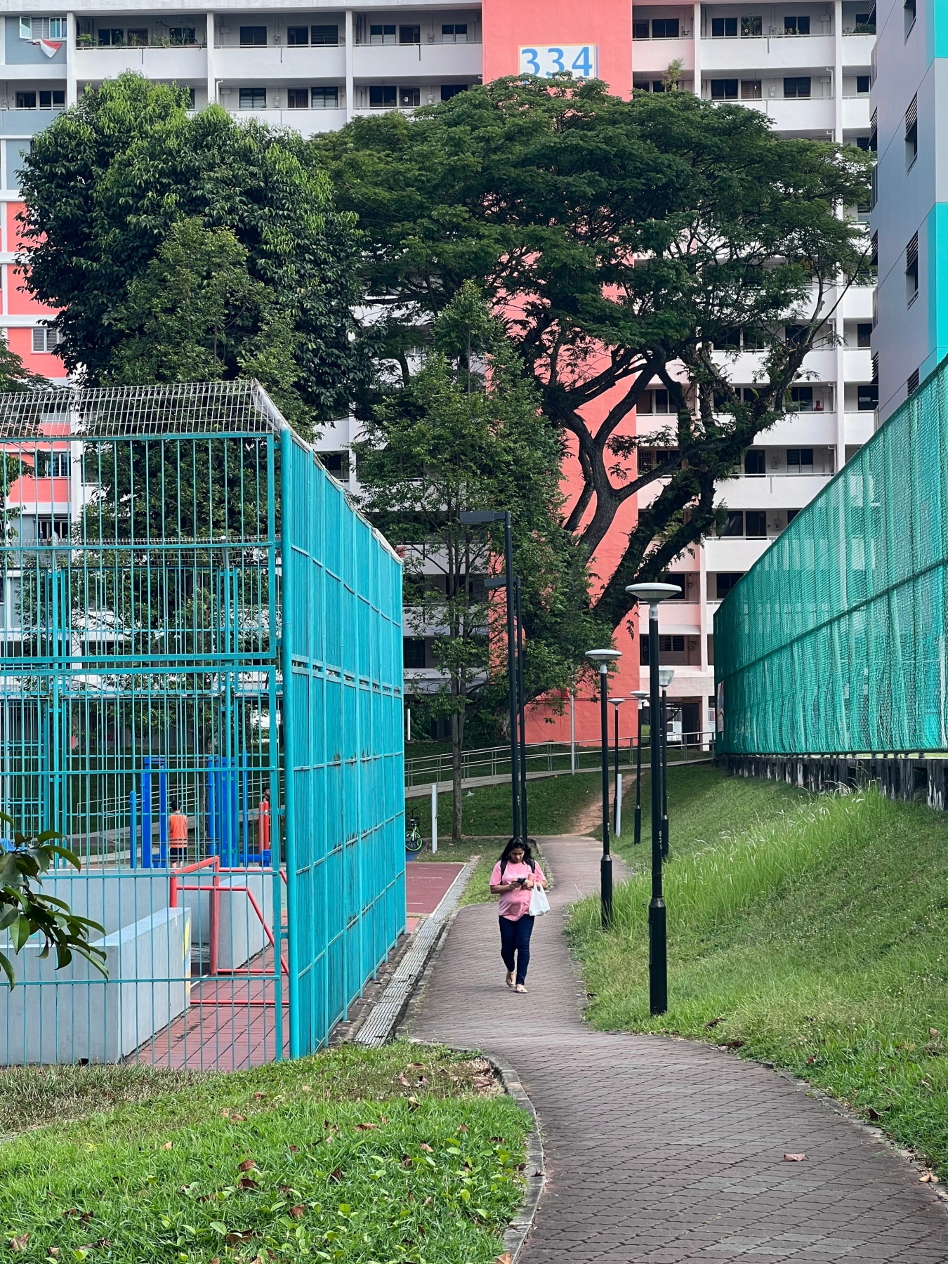
I finished my walk heading south down the other opposite side of Pei Tong Primary School, then turning right after Block 325 and heading towards Clementi MRT station, where I hopped a bus home.
All in all, not a particularly long or exciting walk, but a relaxing and interesting one!
Walk details
- Date: Sunday, 30 July 2023
- Distance: 5.91km
- Time Taken: 1 hour 17 minutes
- Accessibility: Unfortunately, a large chunk of this walk passes through older sections of Clementi, built during a time accessibility wasn’t much thought about. I tried my best to notice and mark out obstacles, but I almost certainly missed out quite a few. Particularly worth noting is the green space at West Coast Court, which has step-free access on only one side, and even then leads directly onto the road, with no curb-free access back onto a pedestrian access in close proximity, requiring you to walk along the carpark road for a bit to the nearest one. After crossing Common Wealth Avenue West, there is also no nearby step-free access up the slope to where the HDB blocks are. The closest ramps are further up Clementi Road, near Block 354.
Leave a Reply