Back when I was serving my National Service, I used to pass through Bukit Batok Central every day, catching my bus into camp. In the years since, though, I have hardly ever gone back. I can’t say I’m overly familiar with the place. During the final week of last year, though, I decided it was time to pay a visit. The weather was expected to be overcast the entire day. There was a chance it might even rain. It seemed to me that going for a walk in an HDB estate was the perfect solution. If it rained, I could simply duck into a void deck!
From quarries…
Think of Bukit Batok today, and one often thinks of abandoned quarries. These were early landmarks in the area. Quarries such as the Gammon Granite Quarry and the Poh Kim (a.k.a. Poh Hin) Granite Quarry began operation shortly after the end of WWII. Today, we know the former as Little Guilin, while the latter has been incorporated into Bukit Batok Nature Park.
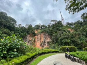
Beloved as these landmarks are today, back then, they didn’t seem quite so popular. At least one newspaper article in 1950 decried their appearance as damaging to the landscape and nature of the area. A vision arose in the early 1950s for a grand, $6M park in Bukit Batok, complete with a zoo and Olympic stadium. This was part of a broader push for more recreational green spaces on the island taking place at the time.
As the 1950s progressed, talk of this park at Bukit Batok seemed to fizzle out. By the 1960s, there was barely any mention of it in the press. Nevertheless, the fate of the quarries seemed to have been sealed.
… To homes…
The development of Bukit Batok as a public housing estate began in 1975. That year, the HDB announced the development of 1872 new flats in Bukit Batok by 1978, housing 10,000 people. 1977 saw a further 1400 flats added to this number, along with a new community centre.
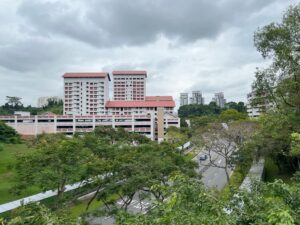
Things came to a head in 1979, as the HDB announced its new 5-year development plan. This provided for the development of 100,000 flats across several new public housing estates, including Bukit Batok. By the time the development plan came into effect in 1981, earlier projections for Bukit Batok had grown to 26,000 flats, for 120,000 people.
… To town
Where development in public housing in the 1970s focused on the design of public housing flats, focus shifted in the 1980s towards the design of streets and towns themselves. Bukit Batok was described being designed with the existing hilly landscape in mind. Its streets would follow the contours of the land, lending the estate a distinct identity.
1981 saw the announcement of plans to extend the new Mass Rapid Transit (MRT) system to Bukit Batok. The station was finally opened on 10 Mar 1991, drawing to a close what we might think of as the initial development of Bukit Batok new town.
Bukit Batok Neighbourhood Park
Fuji hill
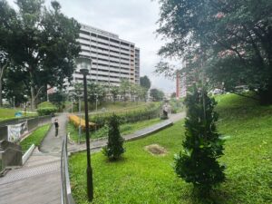
Despite Bukit Batok being a relatively old estate, it surprised me how much fresh development there was to observe in the neighbourhood. I began my walk at Bukit Batok MRT station and headed from there towards Bukit Batok Neighbourhood Park.
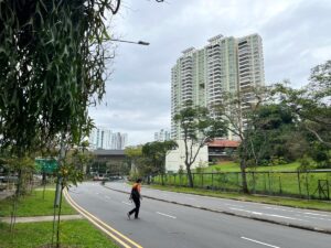
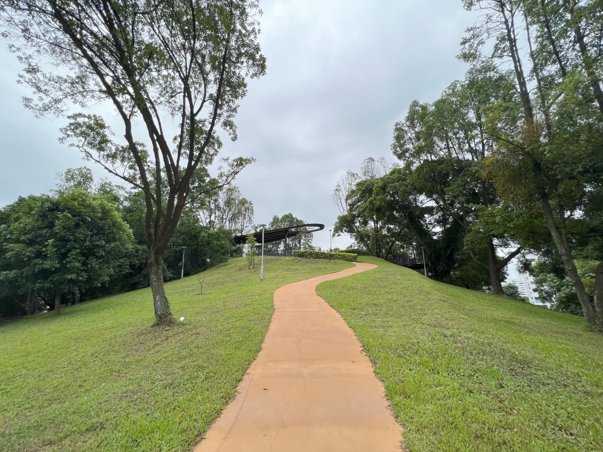
The park itself is far from new. The hill the park is built on has appeared as an open green space in old street maps going back as far as 1984. Residents apparently named it “Fuji Hill”, in reference to its conical shape. A new playground was opened on the hill in 1993. The facilities which I saw during my visit were even newer still, having opened less than two years ago in Apr 2021.
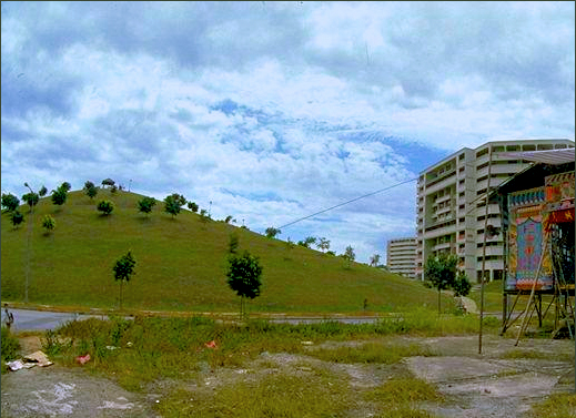
A penchant for boardwalks and observation decks?
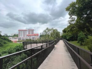
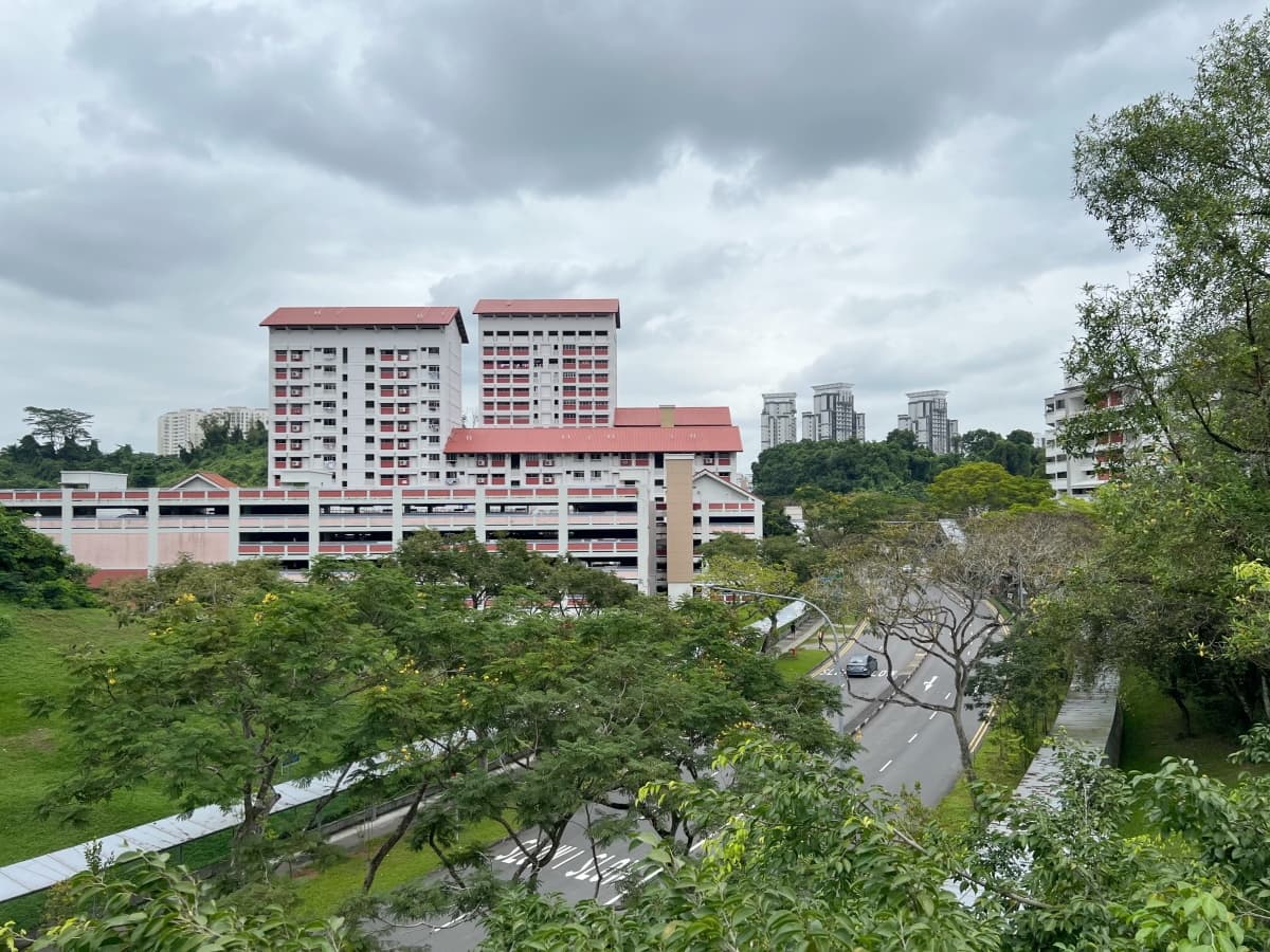
One peculiar feature of the park was an elevated boardwalk that ran part of the way along the northern slope of Fuji hill. It seemed sort of random, not really serving any practical purpose. There was already a footpath on the side of the hill itself taking you wherever you might need to go. I suppose its purpose was mainly aesthetic. There was an observation deck on it with a decent view over Bukit Batok Central, perhaps big enough for a small outdoor yoga class.
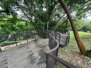
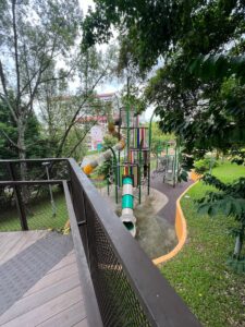
Speaking of observation decks, the designers of the park seemed to have a penchant for them. There were overlooks and overhangs all over the place. Sometimes, it wasn’t exactly clear what the view was you were supposed to be enjoying. Just the trees, I guess.
SkyPeak @ Bukit Batok
Leaving the park, I headed down Street 21, passing by Tong Tien Kung Temple and Bukit View Secondary School. I was headed an interesting, circular park I had observed on Google Maps while planning for the walk. I found it cradled amidst a group of HDB blocks that struck me as being relatively new.
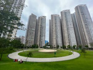
This turned out to be the SkyPeak development, which, sure enough, was only completed sometime between 2015 and 2016, on the site of the former Bukit Batok campus of ITE College West. Honestly, it looked a bit newer to me than that. It was a nice, green space, but it also struck me as being unusually open. The parks I’ve seen in HDB estates have tended to be a bit more crowded with facilities.
Skyline I and II @ Bukit Batok
Following a winding footpath out of the park, I headed out of SkyPeak onto Bukit Batok East Avenue 6. Heading west for a while, I then turned south down Street 22, past the swimming complex. While planning for this walk, I’d noticed a couple of multi-storey carparks here with rooftop gardens. I’ve tended to notice these in newer estates, such as those in Sengkang and Punggol. I was curious to check them out.
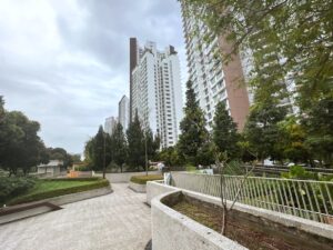
The multi-storey carparks in question turned out to be part of another two developments, Skyline I and Skyline II. Both were completed about the same time as SkyPeak, around 2015. The resemblances between the design of the rooftop gardens bore an unsurprising resemblance to those I’d seen in Sengkang and Punggol. They used to same sort of railings, for example, the same sorts of plants. They were probably built from the same template.
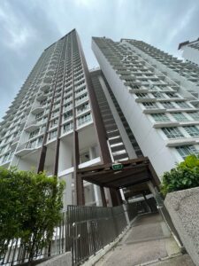
An unnamed park?
Arriving at the western end of the rooftop garden at Skyline I, I noticed a linear park seeming to run alongside a canal into the distance. This was a pleasant surprise. I hadn’t noticed any such park on the map I was using. I decided I had to follow it to see where it went.
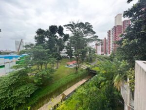
I love parks that follow the course of canals like this. They seem to me like a great use of the space alongside our urban waterways, and an excellent reminder of the importance of water in our lives and in the life of our city. Google Maps labelled this particular canal the “Pandan River”, which was unexpected. I took a closer look and determined that this wasn’t the same Sungei Ulu Pandan that flowed through Clementi. It was just another canal that happened to also empty into the Pandan Reservoir.
Bukit Batok Central Park
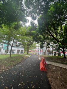
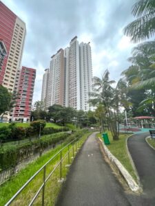
Reaching the end of the park, I noticed I wasn’t to far from Bukit Batok Central Park. I was drawn once again by curiosity to take a look, since I’d never been. I ended up walking all the way up Bukit Batok Central Park, almost reaching the MRT station where I’d begun. My walk wasn’t done, though, so I turned around and walked right back to the corner of Skyline I.
Brickworks
In have to confess, things start to get a little blurry for me after this. I was listening to an audio book as I walked, and as I got increasingly absorbed in the story, I didn’t stop as often to take photos.
I followed the park running alongside the PIE, heading west. At some point, I had to leave the park and walk under the HDB blocks instead, because of construction work for the new Jurong Regional Line. Arriving at Block 171, I turned north, crossed the street, and continued to I arrived at Bukit Batok West Avenue 3. This took me into the Brickworks subzone, and area of more recent development within Bukit Batok.
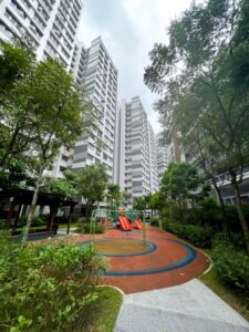
The developments here all had “West” in their names: West Ridges, West Valley, West Crest, West Scape, West Plains, etc. Finally starting to get a little tired, I headed into a neighbourhood park nestled between blocks of flats at West Quarry and took a quick break under a sheltered pavilion.
I wound my way through Brickworks, passing right by the relatively new Le Quest shopping mall, which only opened in 2020. Turning a corner around Bukit Batok West Avenues 5 and 2, I ended up in the neighbourhood of Bukit Gombak.
Bukit Gombak
Bukit Gombak is a neighbourhood I really should be more familiar with, since I have an uncle who used to live here. That was back when I was a little kid, though. I really only remember arriving at Bukit Gombak MRT station, recognising it by the granite boulders arrayed on the hill beside it. That’s where I would be ending my walk this day.
Instead of heading straight to the station, though, I decided to take a brief detour. Heading up Avenue 2, I turned the corner around Dazhong Primary School and headed down Bukit Batok West Park Connector. Turning off along Street 31, I then headed towards Block 377A (heh), where there was apparently a geocache hidden on the carpark rooftop garden. There were people hanging around near the cache, unfortunately, so I was not able to retrieve it.
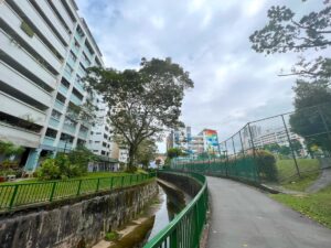
Deciding to call it a day, I walked back to the Park Connector, following it to Avenue 5 again, and headed from there to Bukit Gombak MRT station.
All and all, it was a pretty satisfying walk, through a neighbourhood I seldom visited. I’m genuinely excited now to visit again soon, to see what else there is to discover.
Walk details
- Date: Wednesday, 28 December 2022
- Distance: 12.73km
- Time taken: 2 hour 27 minutes
- Accessibility: Bukit Batok Neighbourhood Park features steep slopes. Route exits park by stairs, avoidable with detours. Carpark rooftops at Skylines I and II feature many steps. Both carparks have elevators, but I cannot vouch for how well they render the rooftop gardens accessible. Park sandwiched between PIE and Blocks 172, 175, and 180 Bukit Batok West Ave 8 affected by construction work. Footpaths may be disrupted. (This route was walked before I knew I was going to blog about it. Please see my accessibility statement)
Leave a Reply