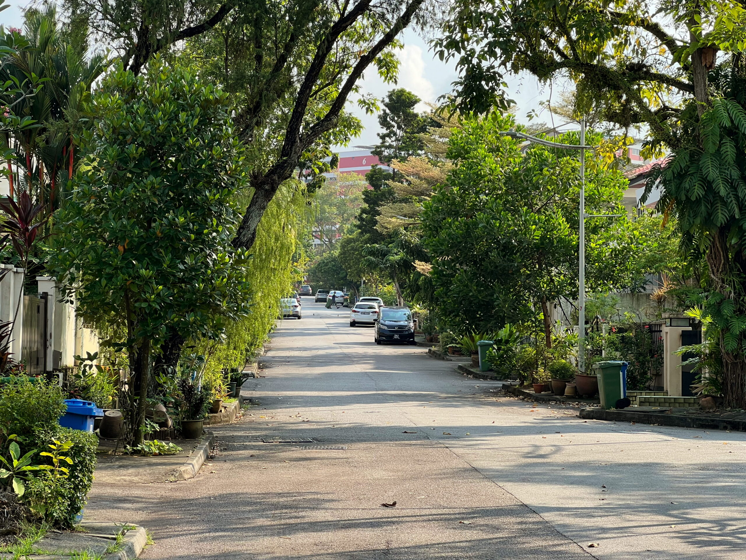
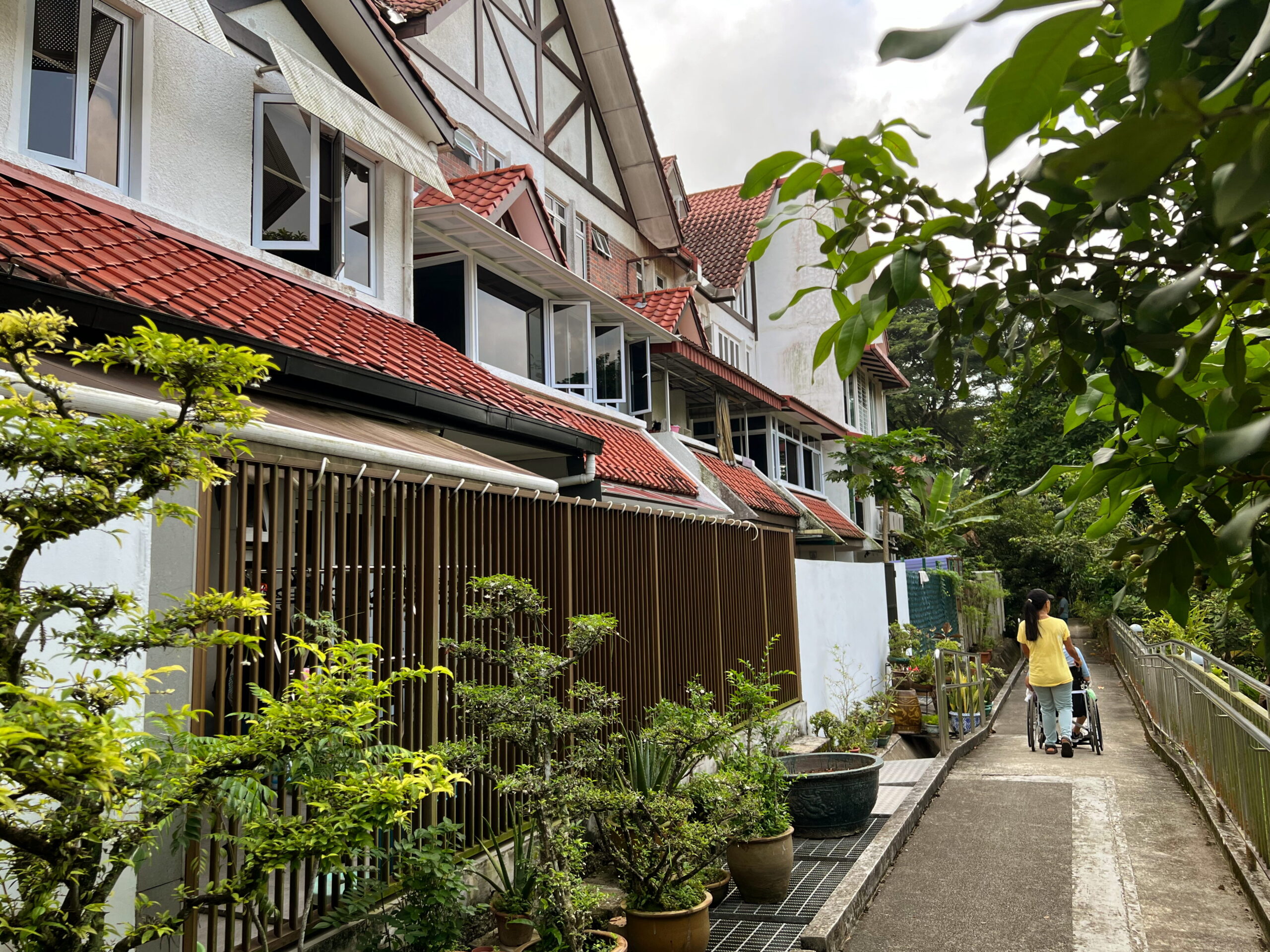
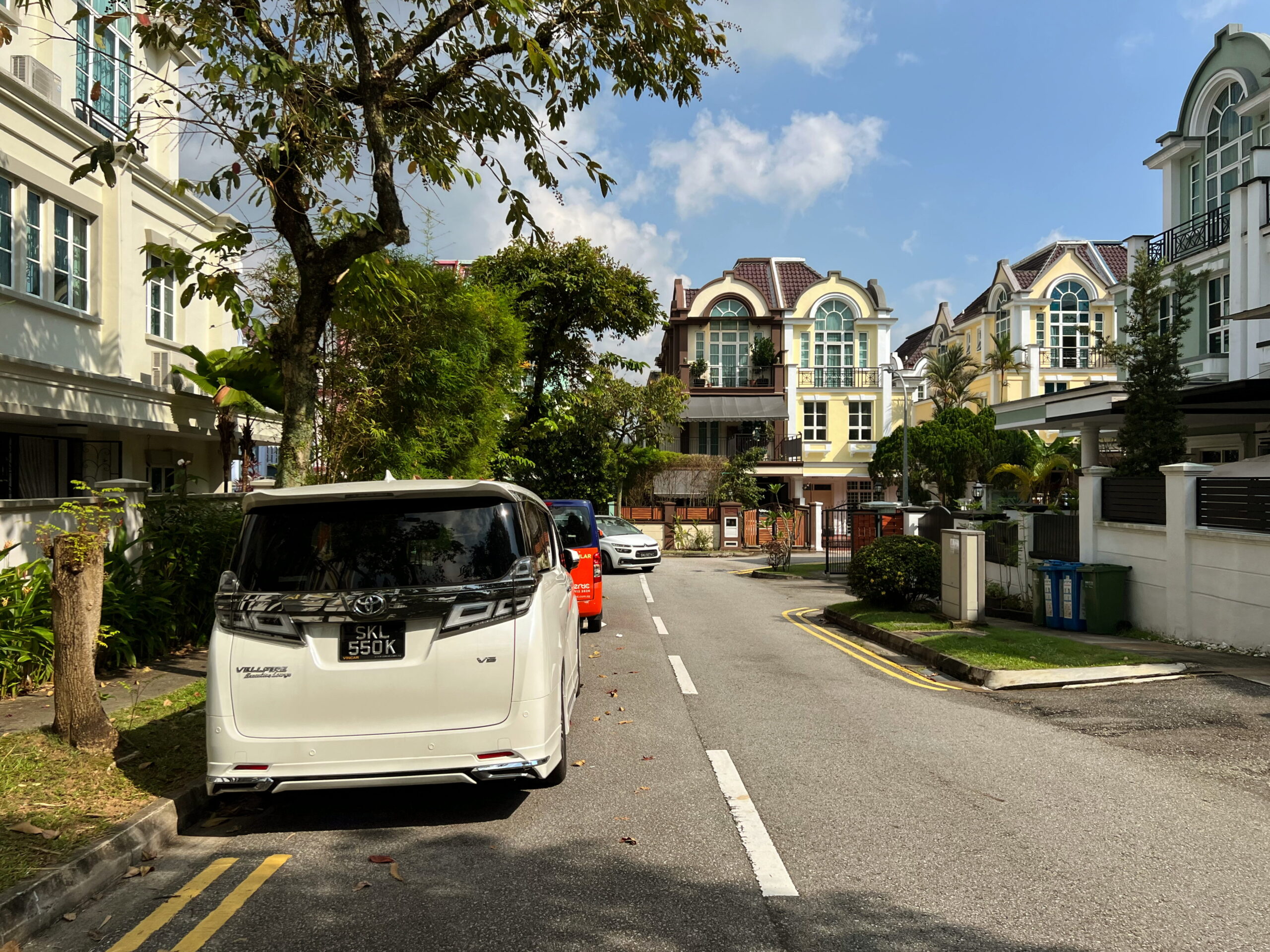
I’ll be honest: 2023 wasn’t a great year for walking for me. I’m not entirely sure why. I just didn’t go for anywhere near as many walks as I did previous years. New hobbies, new priorities, that take up time on the weekend, perhaps. Which is not to say I didn’t go walking at all. Back in October, for example, I decided to explore some of the private housing estates around Jalan Jurong Kechil, with its quiet, neighbourhood parks, undulating terrain, and former WWII battle sites.
For a decade of my life between 19 and 29 I used to spend a lot of time travelling between my home in central Singapore to the west. First it was NS, which I served at various different locations in the west of the island, and then there was NTU, which I attended for seven years, doing my BA and MA. So I was aware of the cluster of private housing estates “kiaped“ between the armpit of Jalan Jurong Kechil and the Pan-Island Expressway, even if I never had occasion to actually go there. At some in the last year, I decided on a whim that I should, and began plotting out a possible route that would take me through some of these estates, such as Eng Kong and Cheng Soon.
Bukit Timah Market and Food Centre
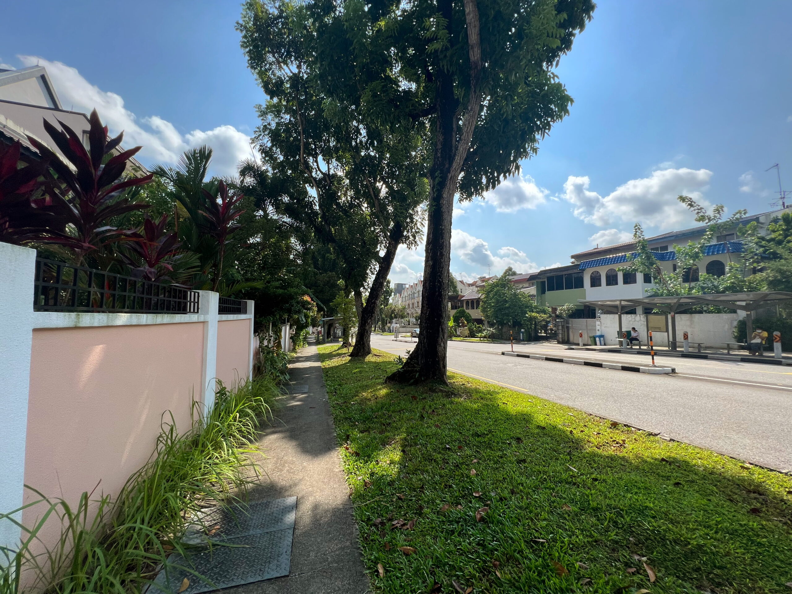
I started my walk along Clementi Road near King Albert Park, where I’d arrived by bus. There are interesting things to say about King Albert Park, but I’ll leave that to the future, when I actually decide to go for a stroll in the neighbourhood. Besides, I didn’t take any pictures at all of it this time. Instead I crossed over Clementi road and headed towards Upper Bukit Timah Road and Bukit Timah Market and Food Centre.
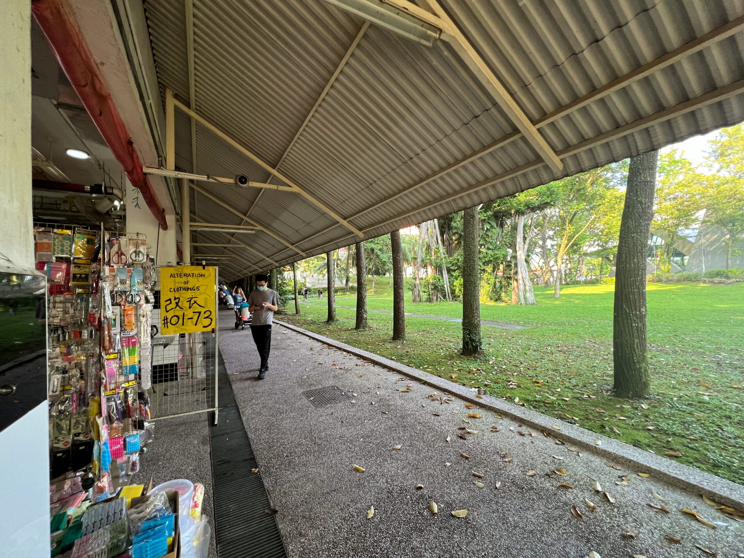
I feel like Bukit Timah Market and Food Centre is one of those “brand name” food centres that, despite their humble appearances, are famous for some really good food? Despite which, I have never actually eaten in the place. I didn’t this time either, I having just eaten my breakfast a short while ago and wanting to make some progress on my walk before the sun got too high in the sky. It’s a pity, because the market and food centre are both set the close in the second half of this year, to make way for an “Integrated Development”, incorporating a community club, a new market and hawker centre, an indoor sports hall, and other community amenities .
My own feelings towards development are somewhat ambivalent. The fact is, new development isn’t always done well, and even when done well seldom ever replaces or replicates the things that make way for it, representing new values and commercial interests which don’t always align with those of the people whose lives are affected.
Change also has a way of chipping away at our sense of place, and in turn our sense of home and belonging. I’ve lived in the same neighbourhood my entire life, three and a half decades now. It’s changed a lot during this time, a bit at a time, so you don’t always realise. I miss when the trees were bigger and taller, for example. And yet, I recognise the need for new development, and have benefited massively from some myself. Change is inevitable, and we need to expect it, even embrace it, sometimes against our own wishes.
Beauty World MRT Station
Just past the market and food centre, I turned the corner around it and began walking down its northwestern edge, before heading down another path crossing an unnamed green space next to an entrance to Beauty World MRT Station.
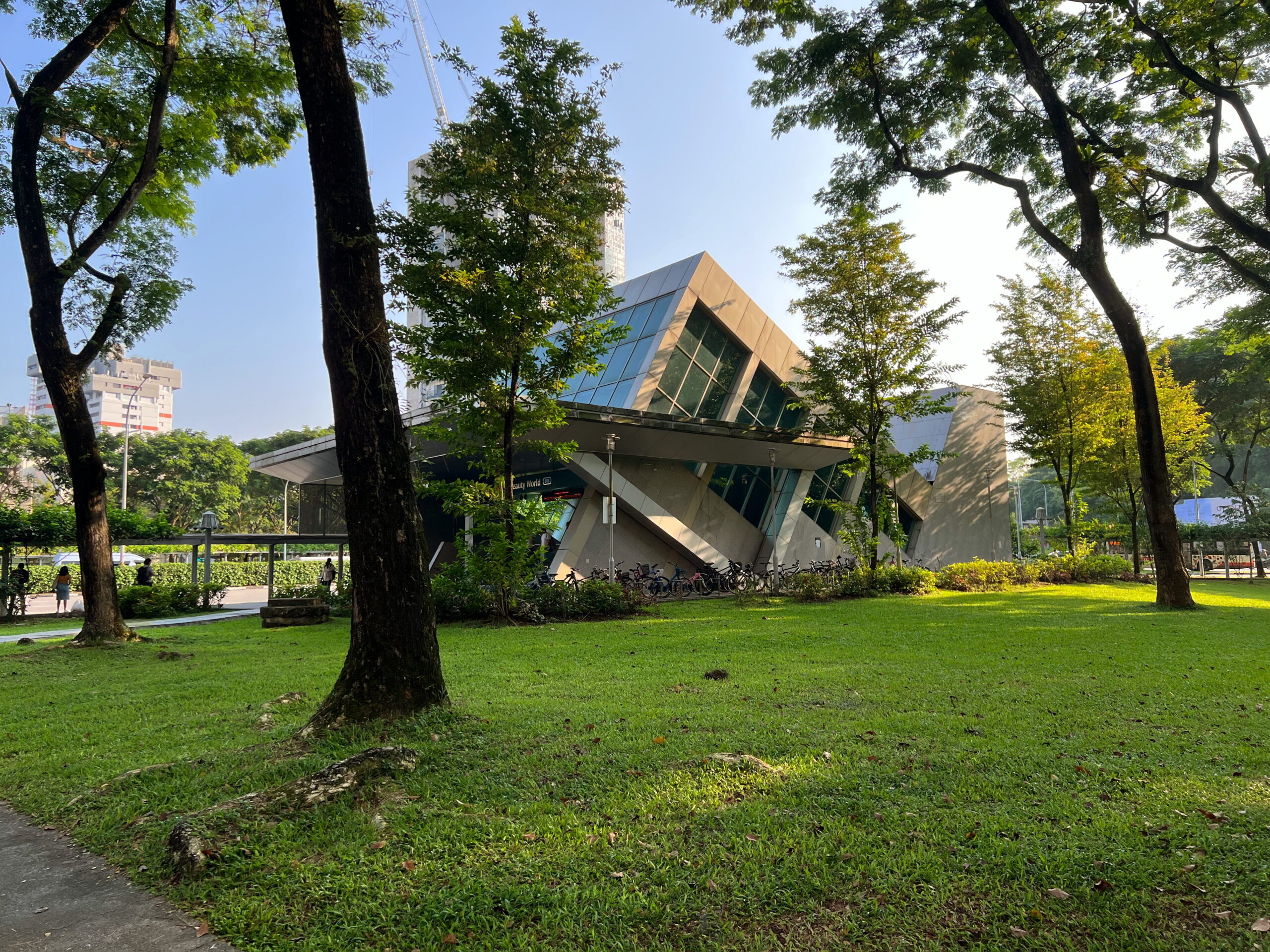

Beauty World MRT Station’s Wikipedia page and Land Transport Guru both indicate that the station is named after the late Beauty World amusement park, which used to be in the area. This belies what I think is a slightly more complicated and interesting history, however.
To begin with, there was indeed an amusement park operating in the area, but it didn’t even seem to be called Beauty World; at least not at first. Instead, during the opening months of the Japanese Occupation in Singapore, two Hokchia businessmen named Yuan and Yan received permission from the Japanese authorities to open an amusement park, which was named “Tai Tong Ah Sai Kai” (大东亚世界). “Tai Tong Ah” means Greater East Asia in Cantonese, and is a reference to the Imperial Japanese concept of the Greater East Asia Co-Prosperity Sphere.
The main attraction at Tai Tong Ah was apparently gambling, which the Japanese employed as a means of combating runaway inflation. The park featured 20 gambling stalls, but also a dozen coffee stalls, stalls selling perfumes, “torches and other knick knacks”, a photo studio, and several Chinese opera halls.
The return of the British after WWII spelt the end of legal gambling in Singapore, however. How much this impacted Tai Tong Ah’s popularity, I don’t know, but in any case, the amusement park went into decline. In 1947, the amusement park was converted into a market. It was only at this point that the first references to “Beauty World” began appearing in local newspapers, recalling other “Worlds” in Singapore, such as “Great World” between Kim Seng and Zion Roads, “Gay World” (a.k.a. “Happy World”) in Geylang, and “New World” in Jalan Besar.
Beauty World Market lasted a fair deal longer than Tai Tong Ah Sai Kai, but its days seemed troubled from the start. The area was apparently known for being a “gangster area” and a “communist stronghold”, with clashes with police, gang fights and murders all happening in the vicinity. The market was evidently also quite flammable, suffering at least five fires by the early 1980s.
If the return of the British marked the end of Tai Tong Ah Sai Kai, their departure spelt the eventual doom of Beauty World Market. The market had relied on the custom of British military personnel based nearby, and their withdrawal in the mid-70s dealt a blow to its viability. Beauty World Market finally closed in December 1983, some of its stall holders moving to the new Beauty World Centre shopping mall which came up the next year across the road. Beauty World Centre and Beauty World Plaza, next door, have sat at the present locations ever since, longer still than Beauty World Market.
So is Beauty World MRT named after,
1. “Beauty World Amusement Park”?
2. Beauty World Market?
3. Beauty World Centre and Beauty World Plaza?
4. All three?
5. None – just the general area, which has come to be known as Beauty World?
Idle ponderings for me. I crossed the unnamed green space and wandered for a short while down Jalan Jurong Kechil, before turning right uphill towards Toh Yi.
Toh Yi
Nearly all my walk today would take me through private housing estates, but as I turned off Jalan Jurong Kechil, I briefly passed through a small HDB estate called Toh Yi Gardens, comprising just 19 blocks.
I’m not sure how Toh Yi got its name. I gather that the Chinese characters for Toh Yi are 道义. I asked around and although these two characters might possibly be the name of a person, it sounds unlikely. Nor does a search of the newspaper archives reveal anybody named Toh Yi. In any case, the road was named in 1973.
Some years later, in 1981, HDB acquired land in the area for development, and in 1985 announced that 19 HDB blocks would be built, with targets set for completion from 1987 onwards.
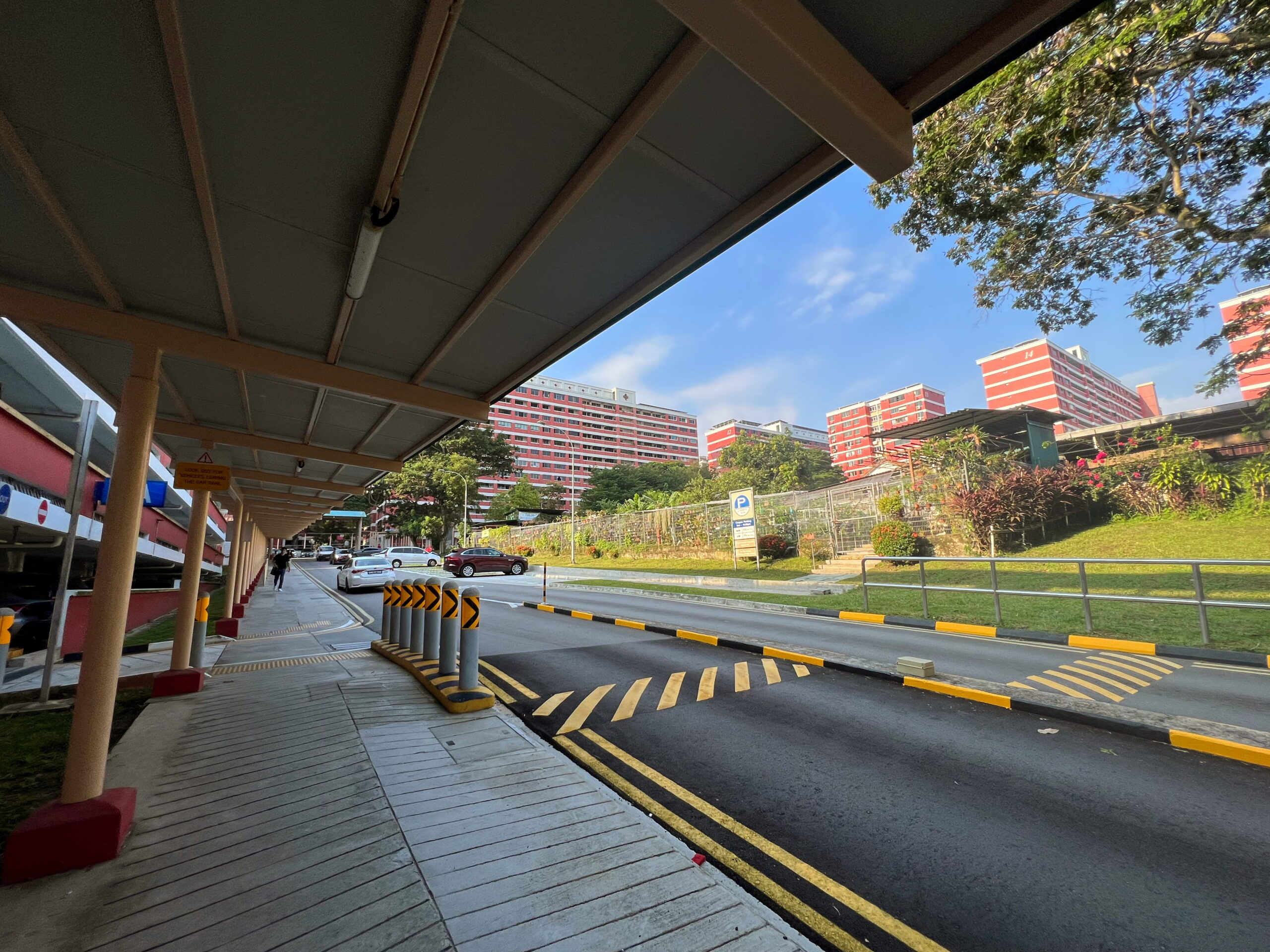

For an estate built over 30 years ago, Toh Yi Gardens seemed to me really neat and well-maintained, with amenities such as sheltered walkways which were clearly built more recently. I walked past the estate’s multi-storey car park and its community gardens with a slightly derpy-looking frog mascot, and turned the corner before Block 9, heading towards Toh Yi Drive and Lorong Kismis.
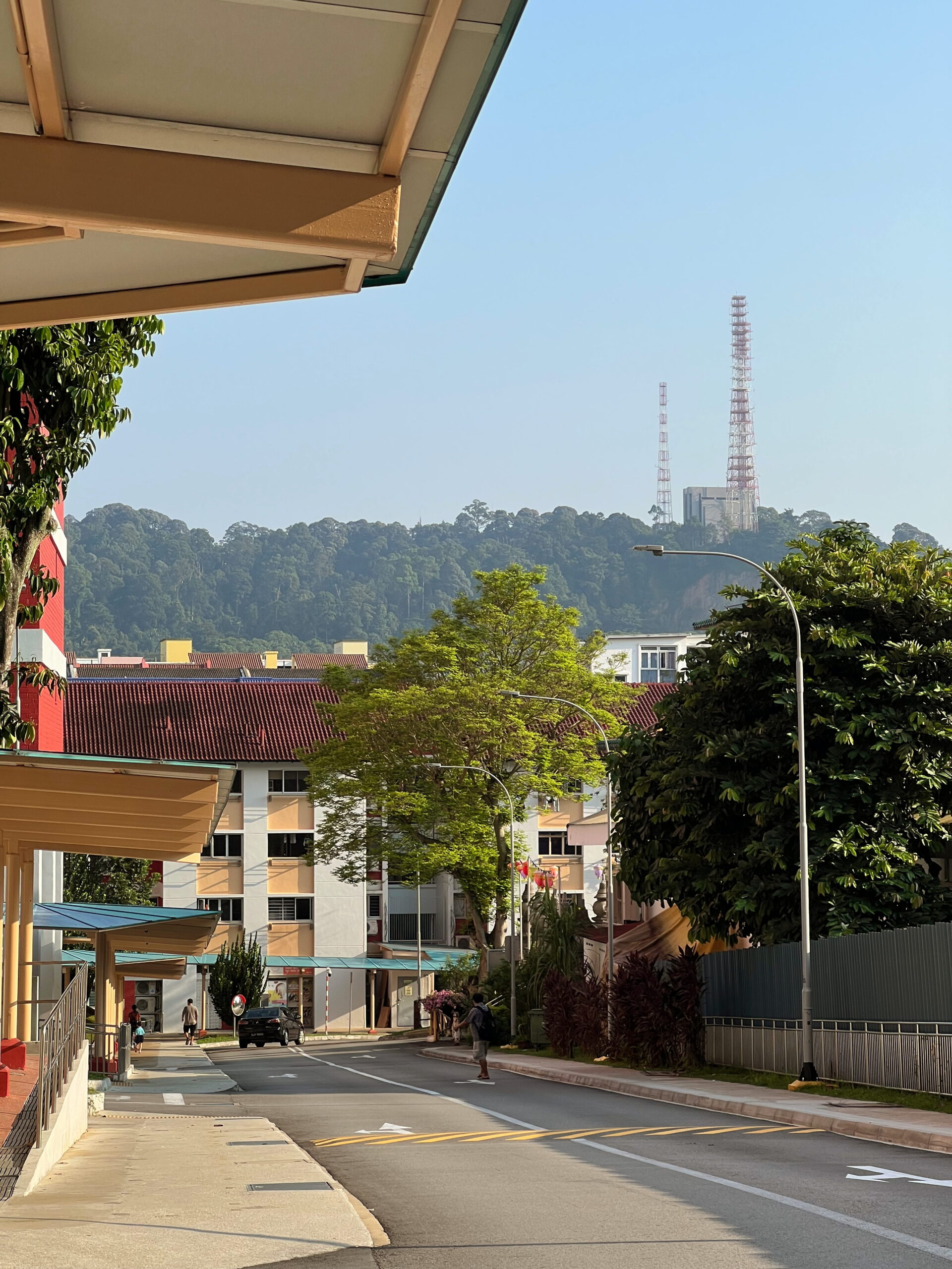
Along the way, just before Block 13, I looking downhill to my right in the direction of Jalan Jurong Kechil, and spotted Bukit Timah in the near distance, with the Bukit Timah VHF Station featuring prominently near its summit. This was a landmark I would catch sight of repeatedly all the rest of the walk.
Toh Yi Road and Lorong Kismis
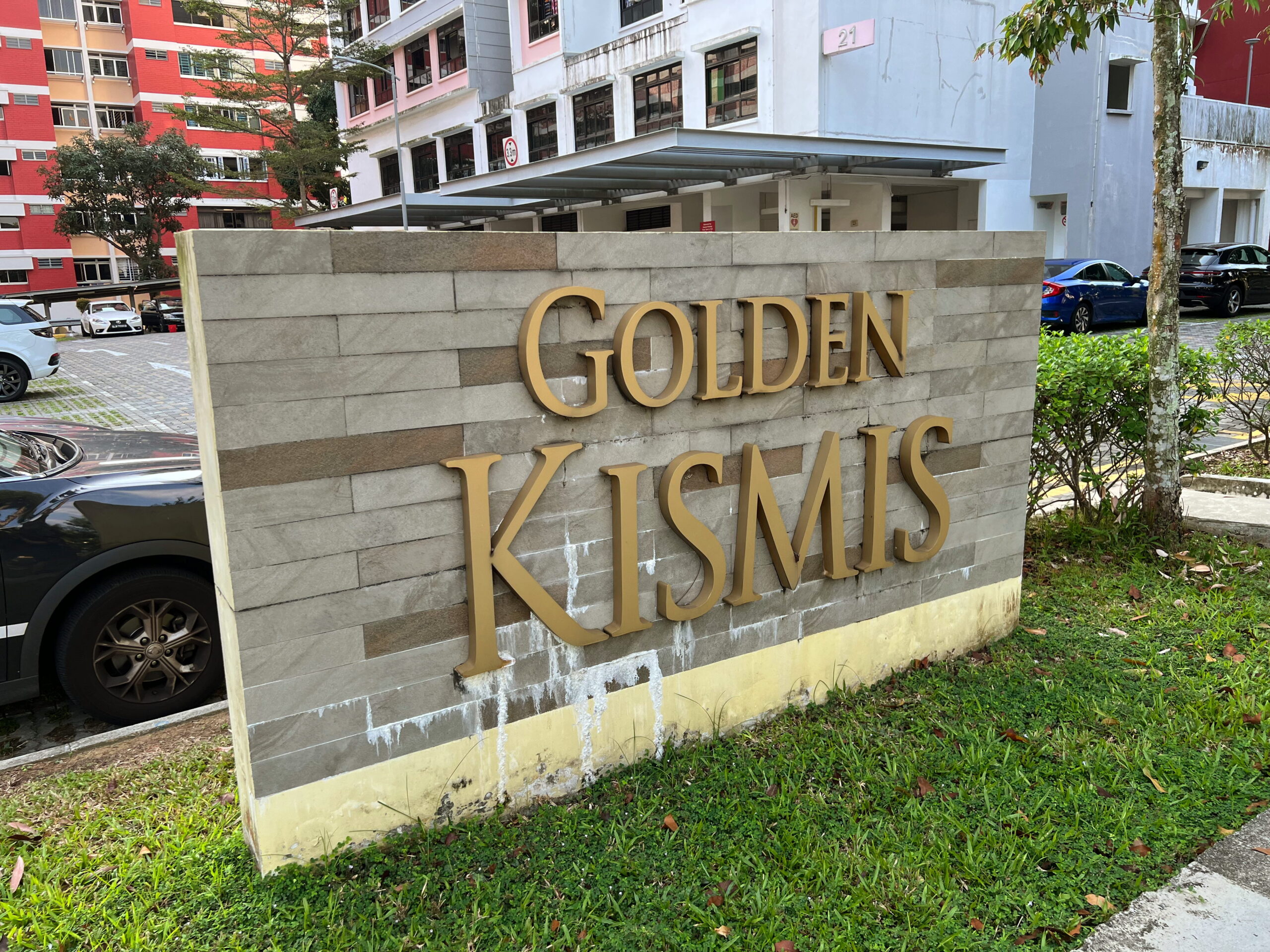
Reaching the end of Toh Yi estate, I turned left down Toh Yi Drive, and headed down in for a short while, passing by an HDB development named Golden Kismis, no doubt a reference to Lorong Kismis nearby.
The name “Kismis” itself means “raisin” in Malay, which is sort of curious. There did use to be several plantations in the area, before urban development. Could one of them have grown grapes? I didn’t think grapes grew in the tropics. Or maybe there used to be a raisin factory here? A search of the internet and the newspaper archives showed up nothing. My usual sources on street names don’t reveal anything. Perhaps some older folk living in the area might know why, but I don’t personally know any. So this will have to stay a mystery. If anybody knows, do tell me in the comments!
I did find it funny that they decided to name a housing development Golden Kismis, since this basically means Golden Raisins. I wonder if the residents of this development know this, or if they treat “Golden” as merely an auspicious reference.
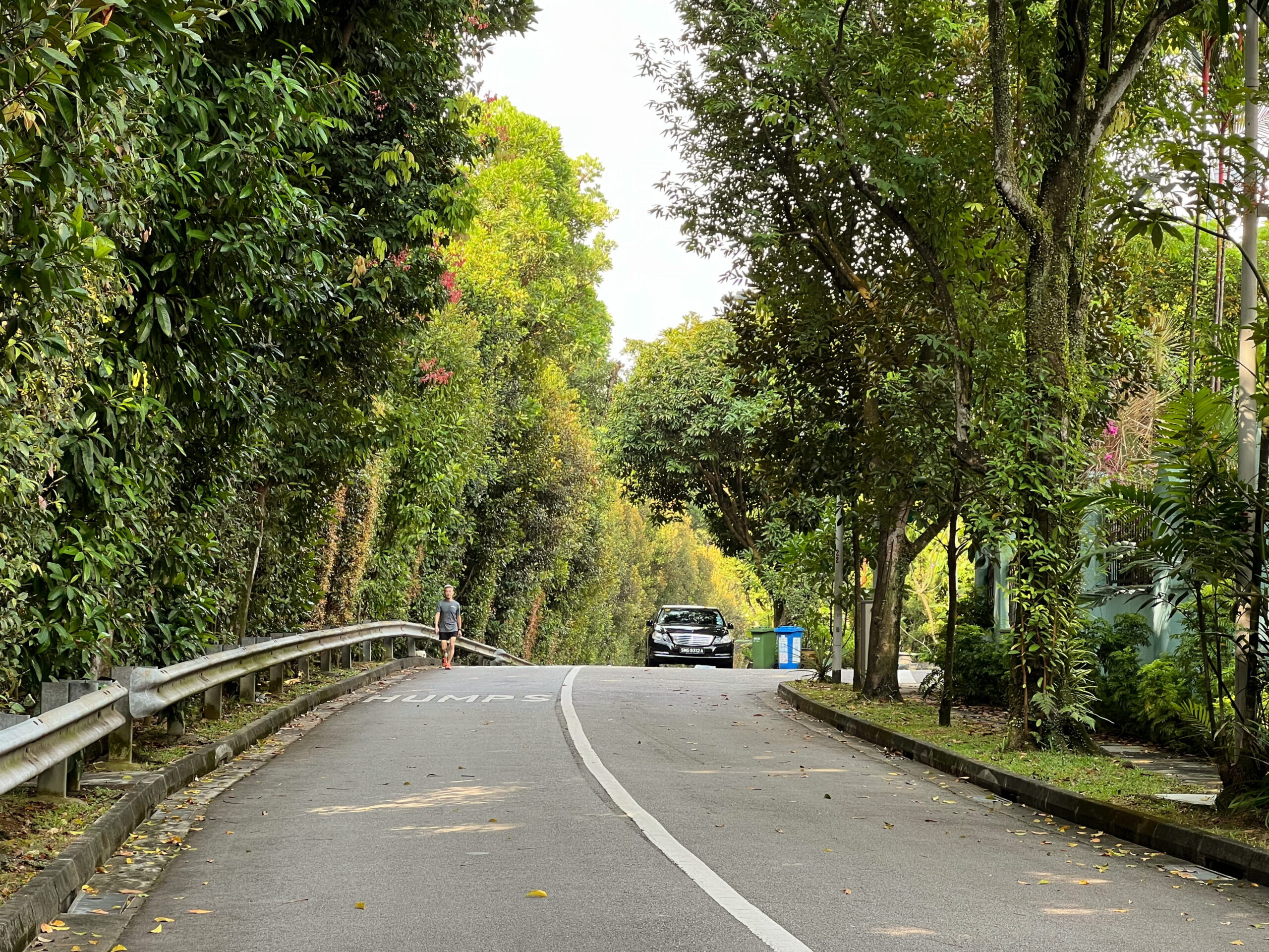
I didn’t spend a lot of time on Toh Yi Drive, quickly turning right and across the road onto Toh Yi Road instead. Toh Yi Road is interesting because it’s one of those roads that’s sliced in two, one significantly higher than the other, and stairs connecting the two, obviously impassable by cars. This speaks of the fact that the area used to be exceptionally hilly, and although many of those hills have since been levelled for building material, its landscape remains somewhat undulating.
Taking the stairs up I emerged the other side and headed towards a junction with Lorong Kismis, which I mentioned earlier.
Lorong Kismis is another interesting road with an odd shape. For the most part it runs in a more or less straight line through the estate, but this easternmost ends, bends suddenly into a hook. Like the stairs on Toh Yi Road, perhaps this belies some of the road’s history, in this case a history of interrupted development. Different parts of the estate were developed at different times over the years. This hooked section of Lorong Kismis seems to have formed part of the oldest, showing up on maps sometime in the late 1960s, the rest coming later on.

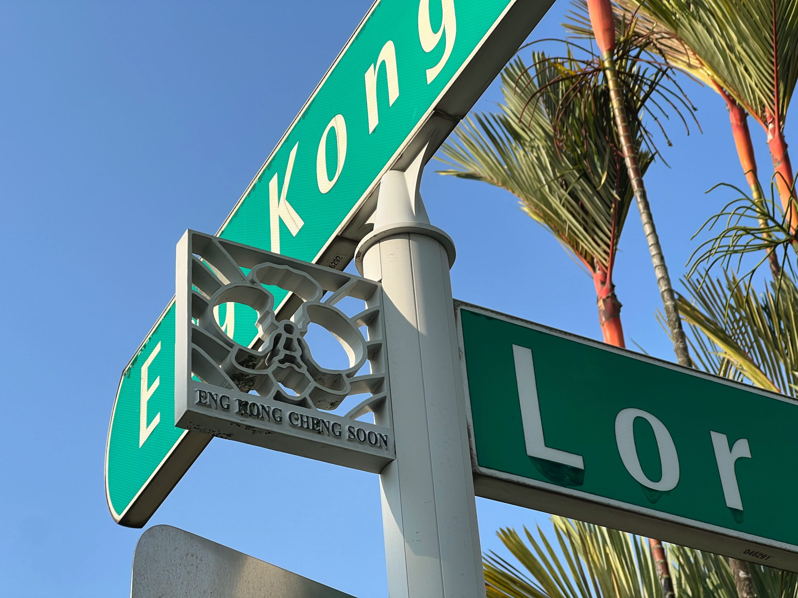
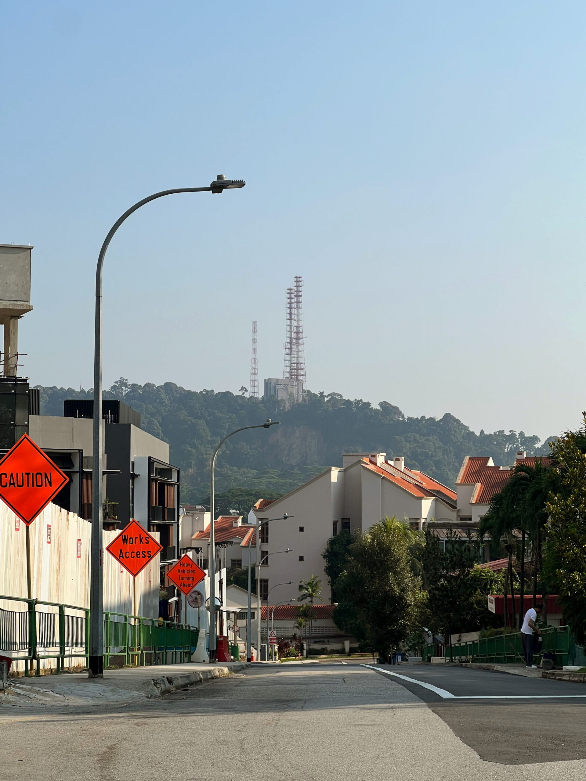
I went straight through the junction, glimpsing the VHF Station once again to my right, but continuing onwards towards Eng Kong Garden estate.
Eng Kong Garden Playground and the unmarked war grave
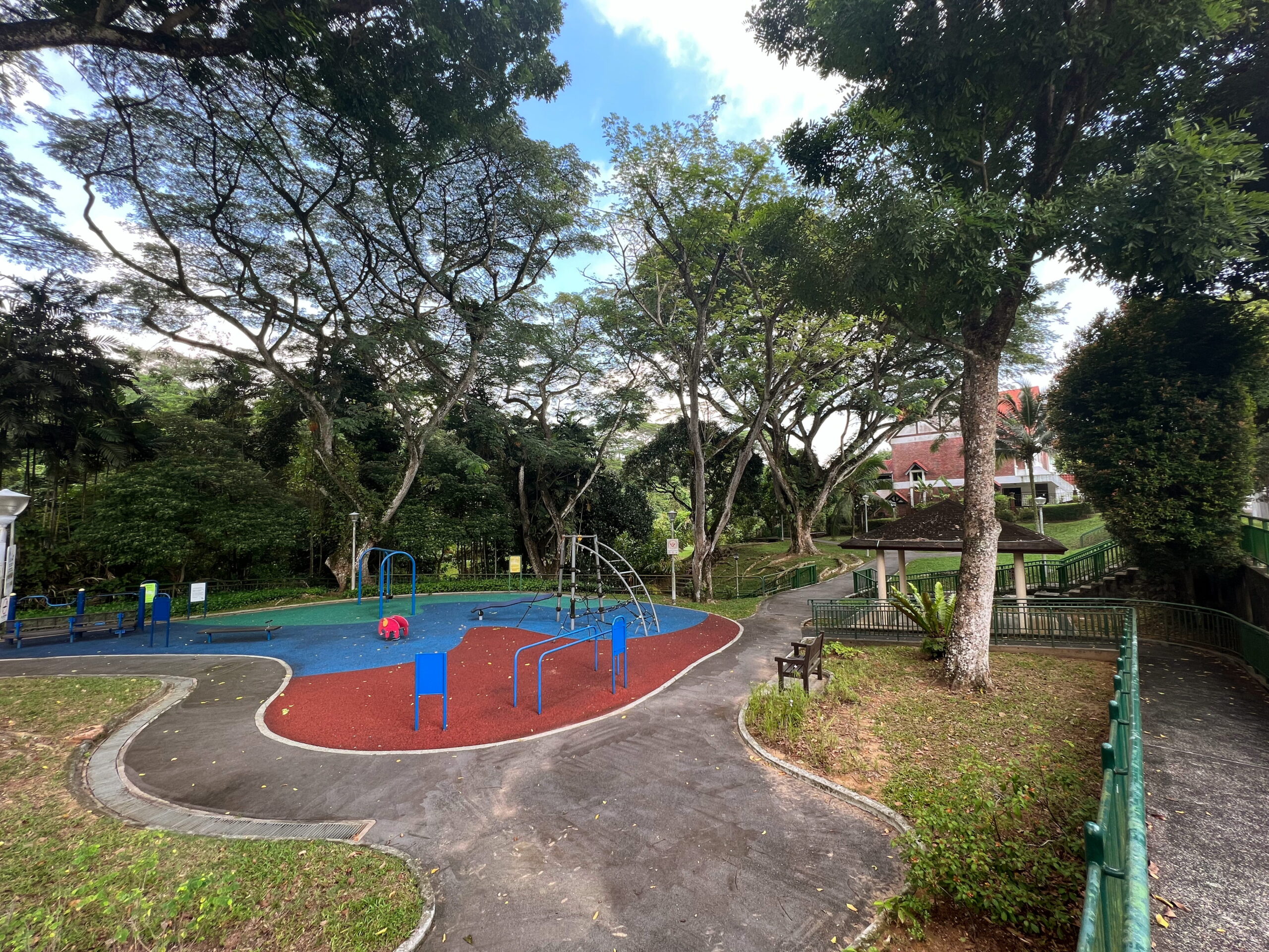
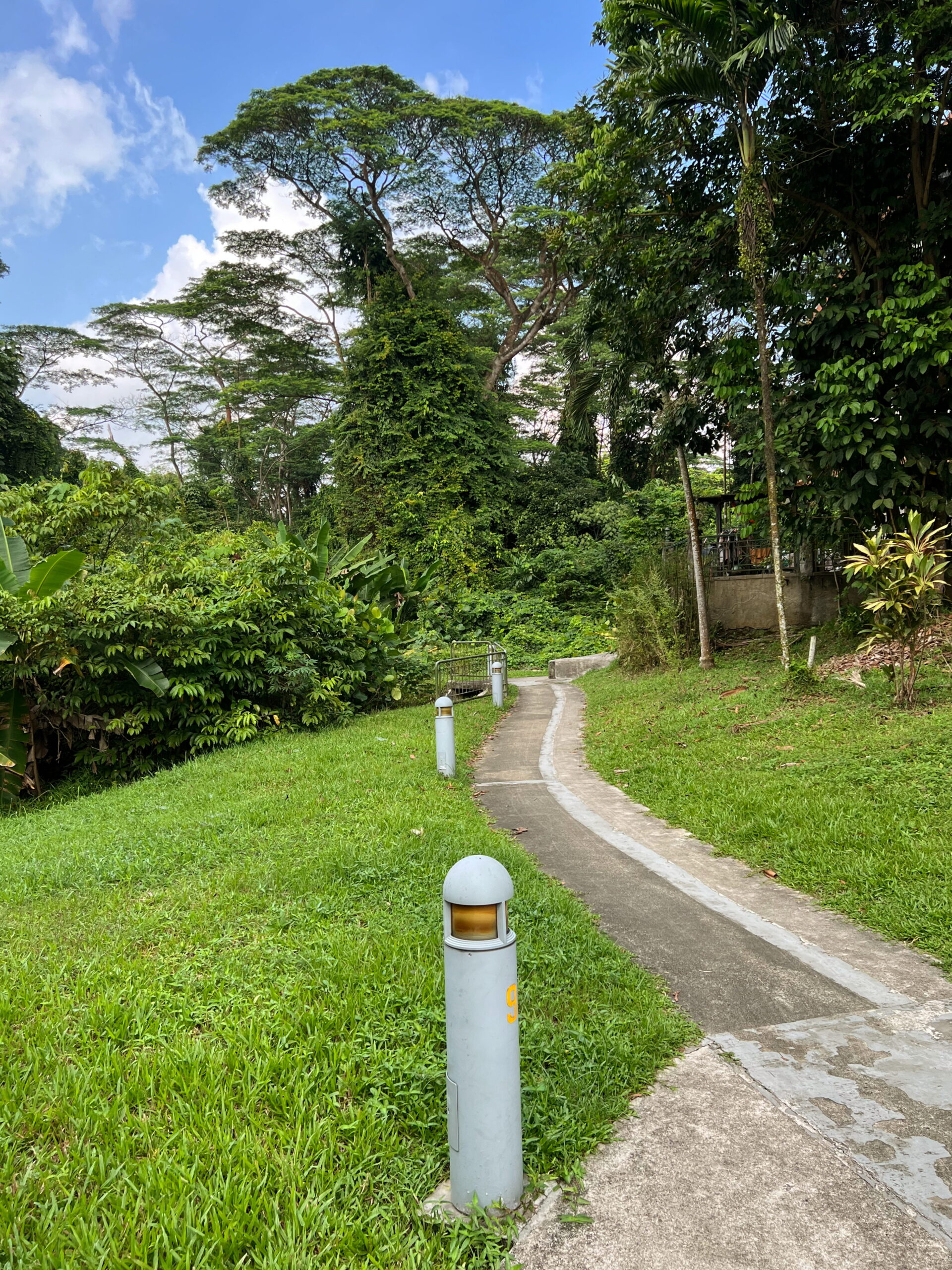
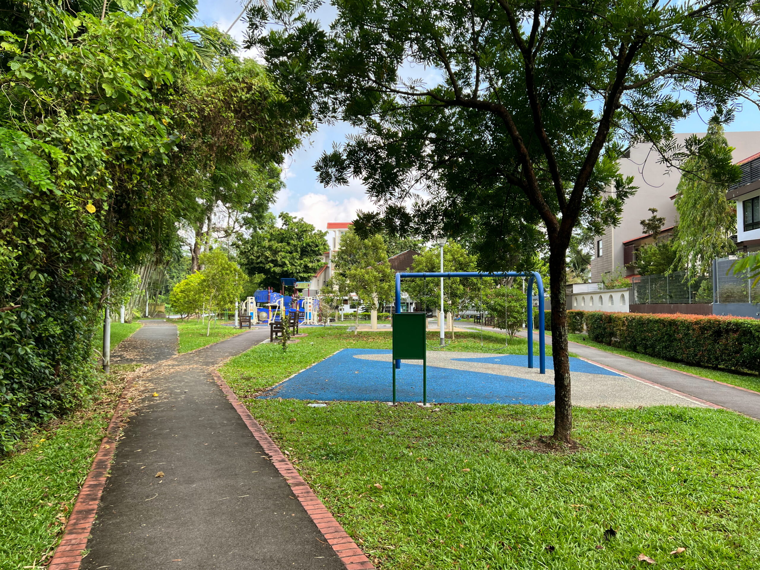
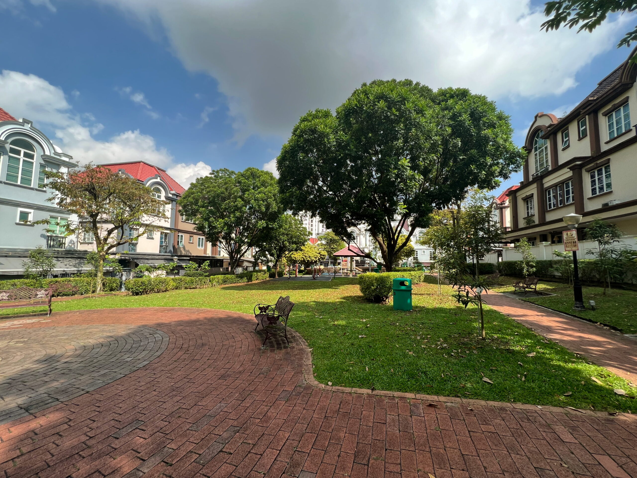
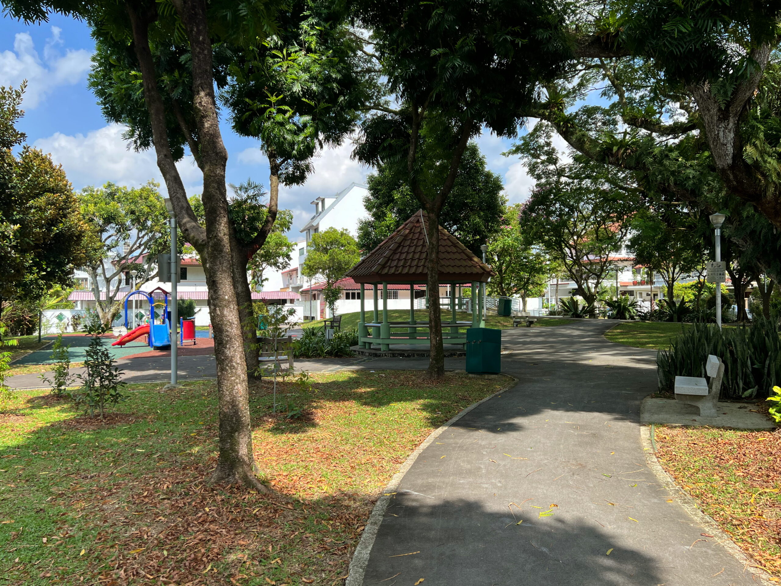
I followed Lorong Kismis westward for a bit before arriving at a corner of Eng Kong Garden Playground. Whenever I go for walks in private housing estates, I tend to plan my routes around parks and playgrounds, just because they serve as a convenient anchor, and a place to take a quick break if I felt like it. On this occasion, I was early in my walk yet, and didn’t feel a need to stop.
As far as public playgrounds go, this one doesn’t seem particularly remarkable, aside from being maybe a bit larger and more spacious than average. This ordinary appearance, however, belies a rather tragic history. The playground sits on what might once have been an unmarked mass grave from WWII.

I won’t go into a lot of detail, but will instead refer to this blog entry and video by James Tann, to whom all credit is due for his research and presentation. Suffice to say that during the Invasion of Singapore in 1942, an area named “Sleepy Valley”, somewhat adjacent to this estate, played host to a series of battles between invading Japanese forces and British, Australian, and Indian troops. The latter suffered tragic losses, with only 400 out of 1500 men making it out alive. They included “administrative clerks, cooks or store men”, hastily put together with little training, out of desperation to field reinforcements.
Imagine being one of these men. How frightening and how hopeless it must have been. In Social Studies class in secondary school I remember it being drilled into us how the defence of Singapore by the British was a botched job, a lesson in the need for self-reliance and National Service. We seldom hear the stories of men like the ones above, who made the ultimate sacrifice for a country that wasn’t even theirs. I think this does them an enormous discredit.
In any case, after the fall of Singapore, the Japanese gave the commanding officer of one of the units involved in the battle on the British side permission to recover and bury the remains of his fallen comrades. This he did at a spot which today corresponds roughly to Eng Kong Garden Playground.
The remains are likely no longer there, war graves having been exhumed and re-interred at Kranji War Memorial after the war. Nevertheless, knowing what once lay beneath to park made for a sobering visit that morning.
Eng Kong Garden: named after Soon Eng Kong?
Just like Toh Yi and Kismis before, I wasn’t able to establish for sure how Eng Kong Garden got its name. Perhaps the reasons lie in old municipal records somewhere. A search of the National Library’s NewspaperSG archives did reveal an individual named Soon Eng Kong, who seemed to be a merchant and planter of note, albeit it seems mainly in Penang, rather than Singapore. I found several articles noting donations by him to various charitable causes, and he also served as President of the Hu Yew Seoh Association in Penang, as well as the Penang Badminton Association.
Was Eng Kong Garden named after this Soon Eng Kong? Perhaps. Perhaps one of the plantations in the area belonged to him? Like I said, records probably do exist which might lend credence to this speculation, but this is a blog about walking, not about history, so I’ll leave it to those more resourceful than I to uncover.
Leaving Eng Kong Garden Playground, I headed west again up Eng Kong Terrace, following a row of old shophouses. I’m always surprised to see this shophouses plopped down in the middle of private housing estates. The ones on Clover Way during my walk in Jalan Pemimpin, for example. They always strike me as a bit out of place. But of course I reckon they were probably put there specifically to service nearby residents.
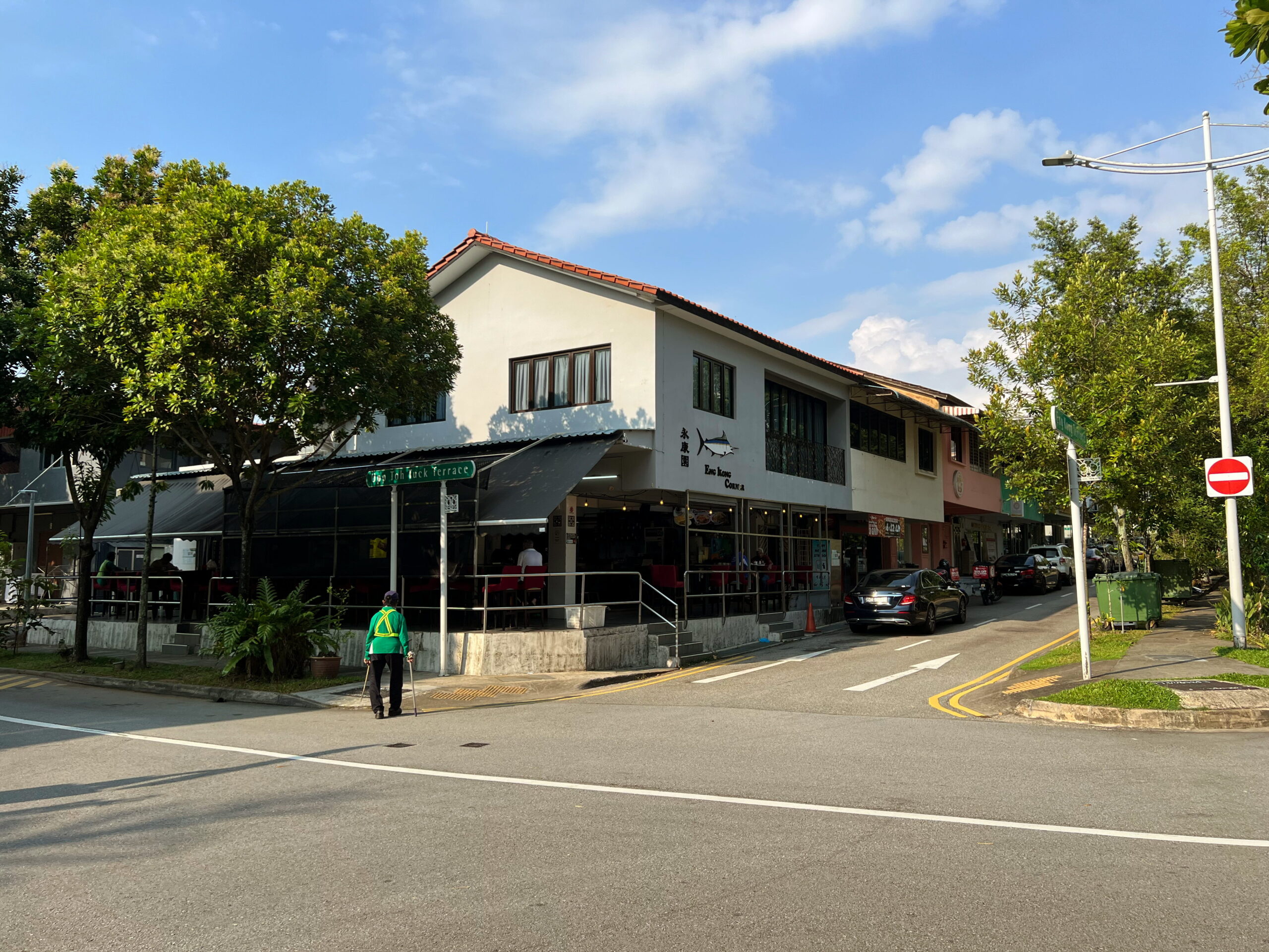
Reaching the end of the row of shophouses, I turned left down Eng Kong Road, left again down Eng Kong Crescent, following it to Kismis Avenue, where I turned right and headed eastward towards my next playground: Cheng Soon Garden Playground.
Cheng Soon Garden
My usual resource for street names, What’s In The Name? How The Streets And Villages In Singapore Got Their Names, by Ng Yew Peng, states that Cheng Soon Garden and the roads around it were all named after a gentleman named Wee Cheng Soon, who was apparently a prominent building contractor before WWII.
The sources cited by Ng indicate that such a person did indeed exist, but stop short of actually saying the roads were named after him. So either Ng had some other sources he didn’t cite, or he was simply assuming that the roads must have been named after somebody famous, and Wee Cheng Soon was the only one who fit that criteria. To be fair, I did the same thing with Soon Eng Kong above, although I did specifically note that I was only speculating.
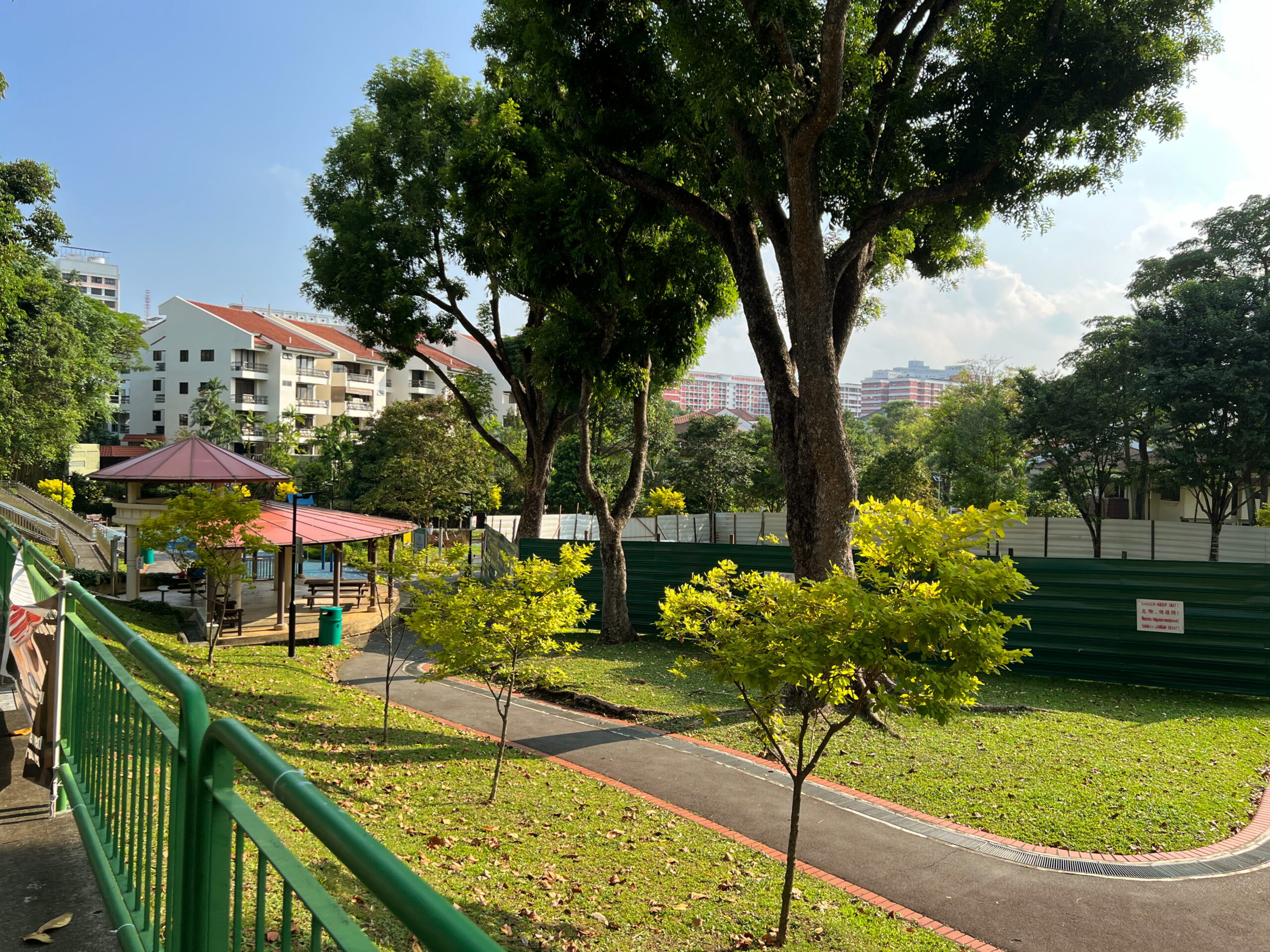

I didn’t spend a lot of time at this playground. Again, aside from being quite decently sized, there was nothing about it of special note. Part of it was also closed off for upgrading. I left the park at the opposite end to the one I had entered, and headed down Cheng Soon Crescent, then Cheng Soon Garden road.
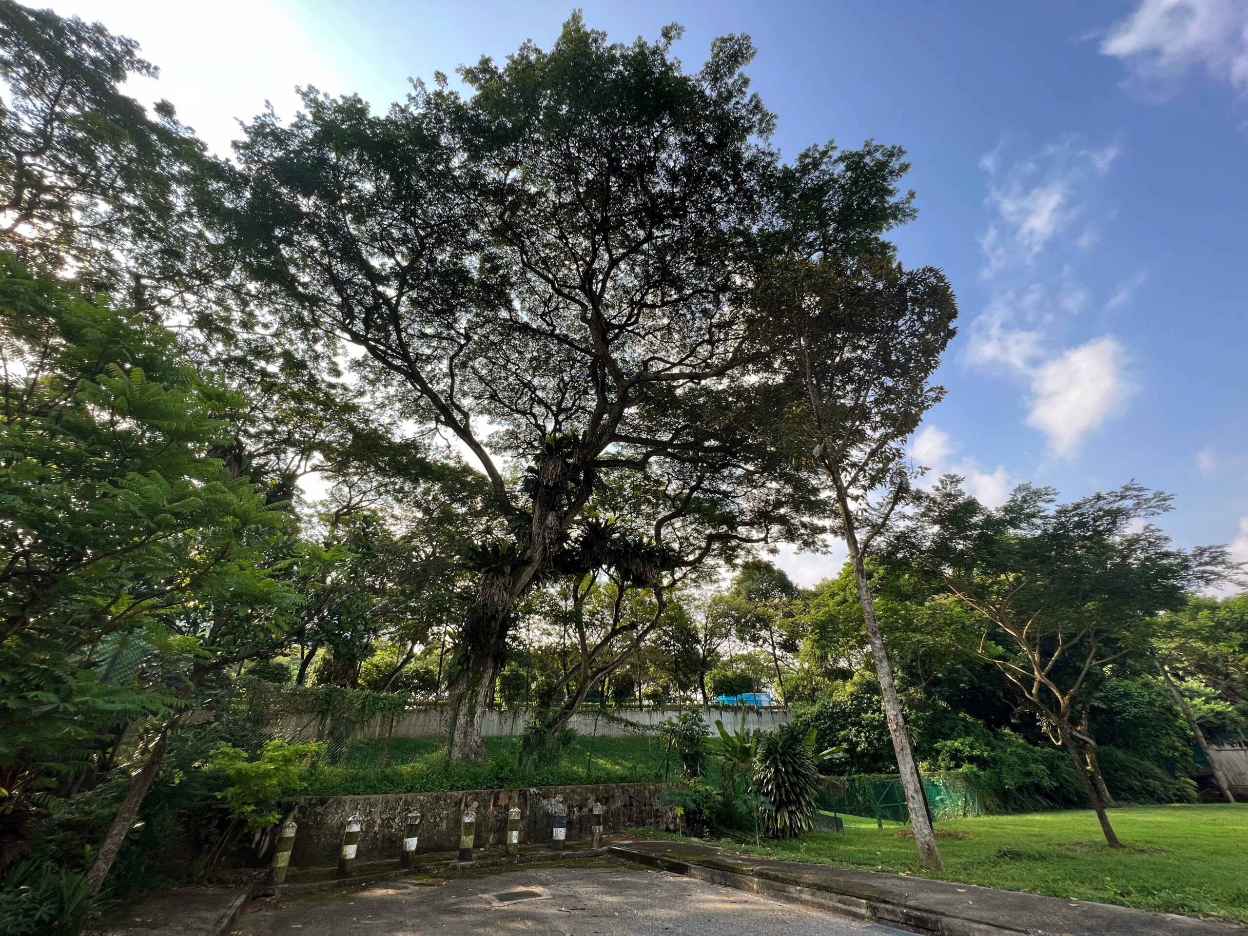
I paused briefly to admire a rather magnificent rain tree growing out of a steep, grassy slope separating the housing estate from the Pan-Island Expressway (PIE). This done, I continued my way westward on Cheng Soon Garden, until I got to a patch of green space with a concrete footpath heading through it. This I followed to a playground called Savoy Park.
Savoy Park
The name “Savoy Park” seemed to me rather grand for a small and unassuming playground – the smallest and most unassuming of my walk so far. Unlike the last two parks, which had least had a set of roads with matching street names nearby, I didn’t see any Savoy Terraces or Savoy Crescents on my map.
The most likely explanation was the park was named for purely marketing reasons. This 1995 newspaper advertisement for the Savoy Park development describes it in terms that evoke images of luxury and class. The development seems to comprise mainly houses along Eng Kong Drive. There were no further mentions of Savoy Park after 1995.
Eng Kong Place Fitness Corner
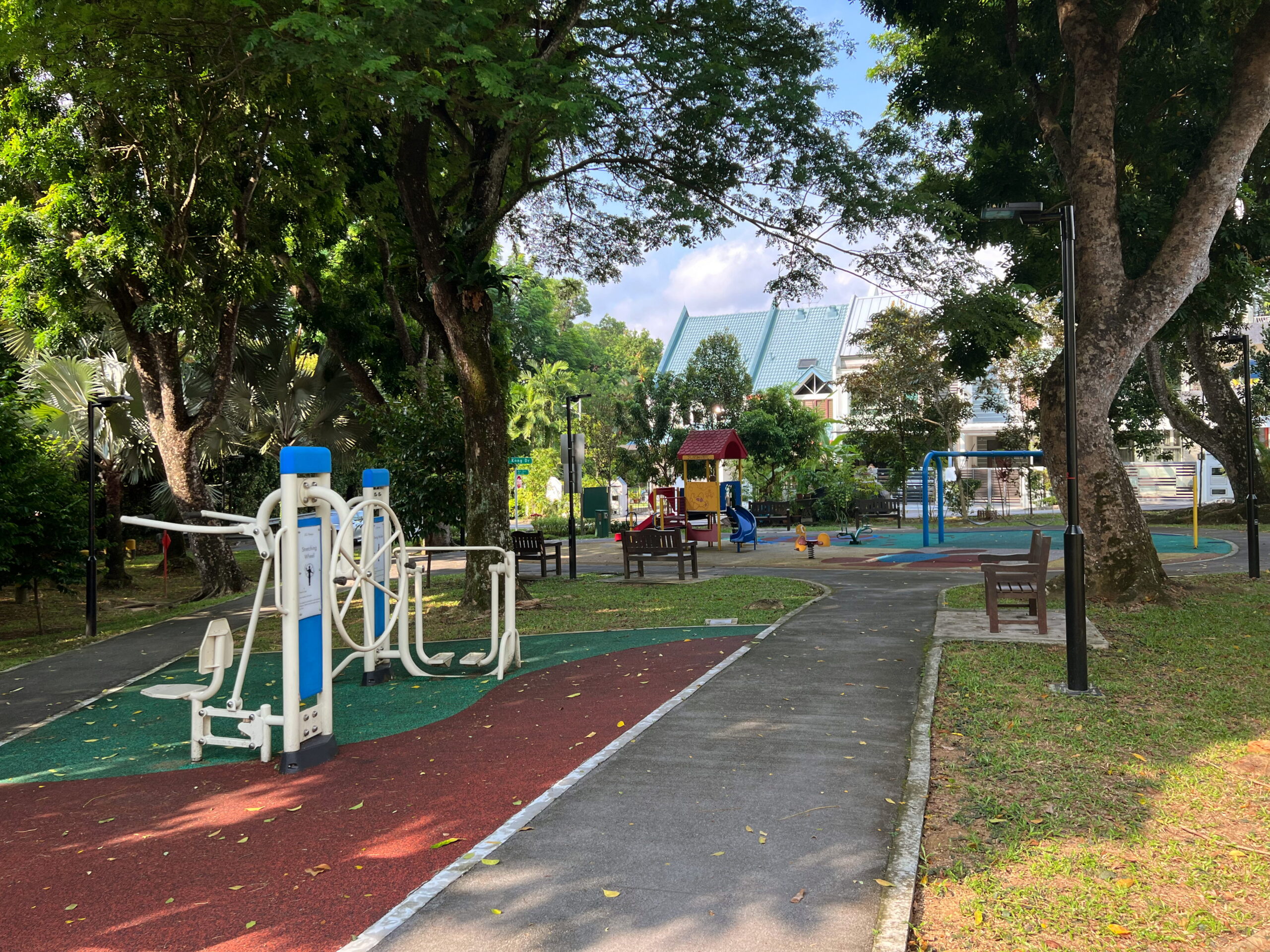
I made my way down Eng Kong Drive, turned right onto Eng Kong Road, left onto Eng Kong Garden, and right again onto Eng Kong Place, arriving at my fourth neighbourhood park for the day: Eng Kong Place Fitness Corner.

By now, I had been walking for slightly over an hour. Even though I wasn’t particularly tired yet, I decided to take a quick break in the pavilion in the park, listening to and trying to spot the military helicopters that thrummed overhead.
Greenridge Crescent Playground
I didn’t stop to rest very long, because I didn’t really need to. Just 5 minutes, and I was off again, back down the other side of Eng Kong Place, onto Eng Kong Garden again, and finally onto Greenridge Crescent.
If the name Greenridge Crescent sounds familiar to you, that might be because this is the estate that in 2022 was the site of a tragic double murder. A father, anxious and depressed over his two autistic sons, murdered them in a playground in the estate, hoping to relieve them of their suffering. He then tried to kill himself, but then failing too, called the police, claiming to have been attacked, knowing his story was an unlikely one, and hoping to commit suicide by police.
I made a quick stop at Greenridge Crescent Playground, where the murders took place, to do a bit of geocaching, before moving on.
Greenridge Estate
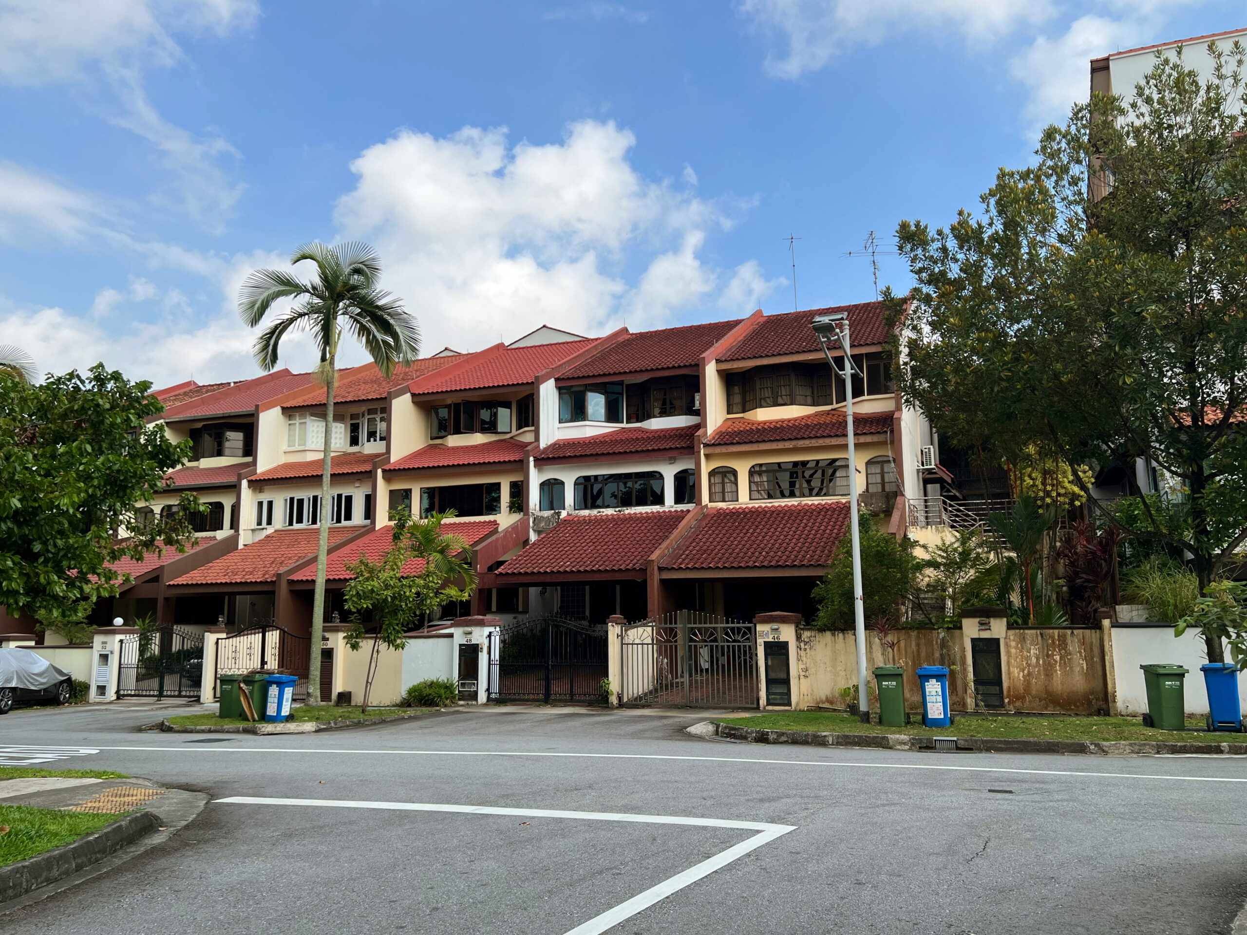
Greenridge estate is itself not particularly interesting, to be honest. This newspaper article from 1987 describes the houses as this estate as being designed in the “Tudor style”. Apparently there was a trend at the time for houses to be built in period English or European styles, with developments springing up earlier on in the 80s with a supposedly Mediterranean appearance. I’ve noticed houses like this before and have never really been impressed by them. I’ve always found them rather gauche, like an imitation handbag. But I guess they were off the time.
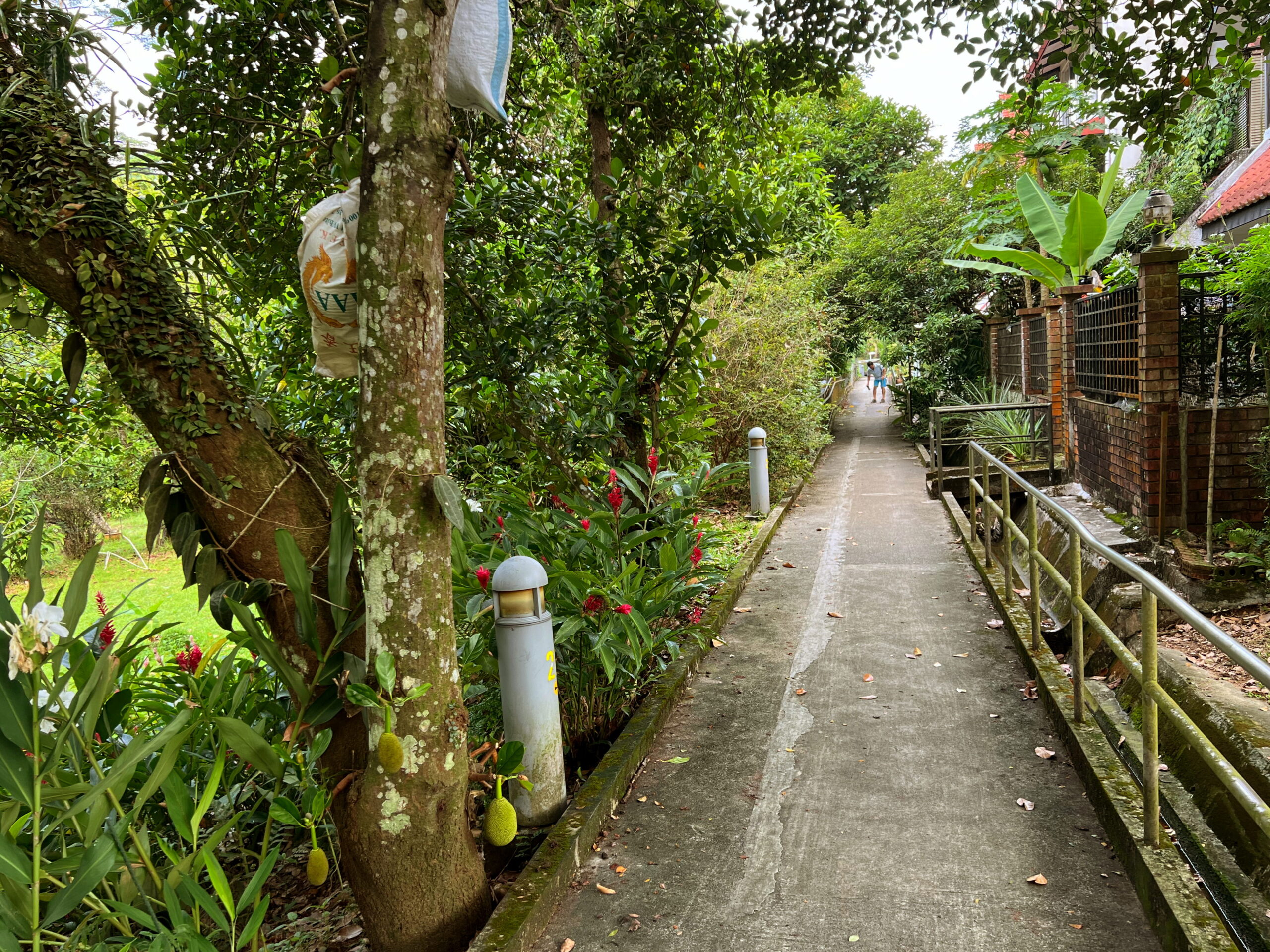
Anyway, I didn’t realise any of this during my walk. I only read the article afterwards. I didn’t even walk all of Greenridge Crescent. Instead, leaving the playground, I noticed a footpath that seemed to lead around the back of some houses towards the next estate to the north, and took that instead. This took me through a little tunnel of greenery that some of the residents had planted, then between houses and some densely forested area, emerging at yet another playground.
Golden Rise and Toh Tuck Estates
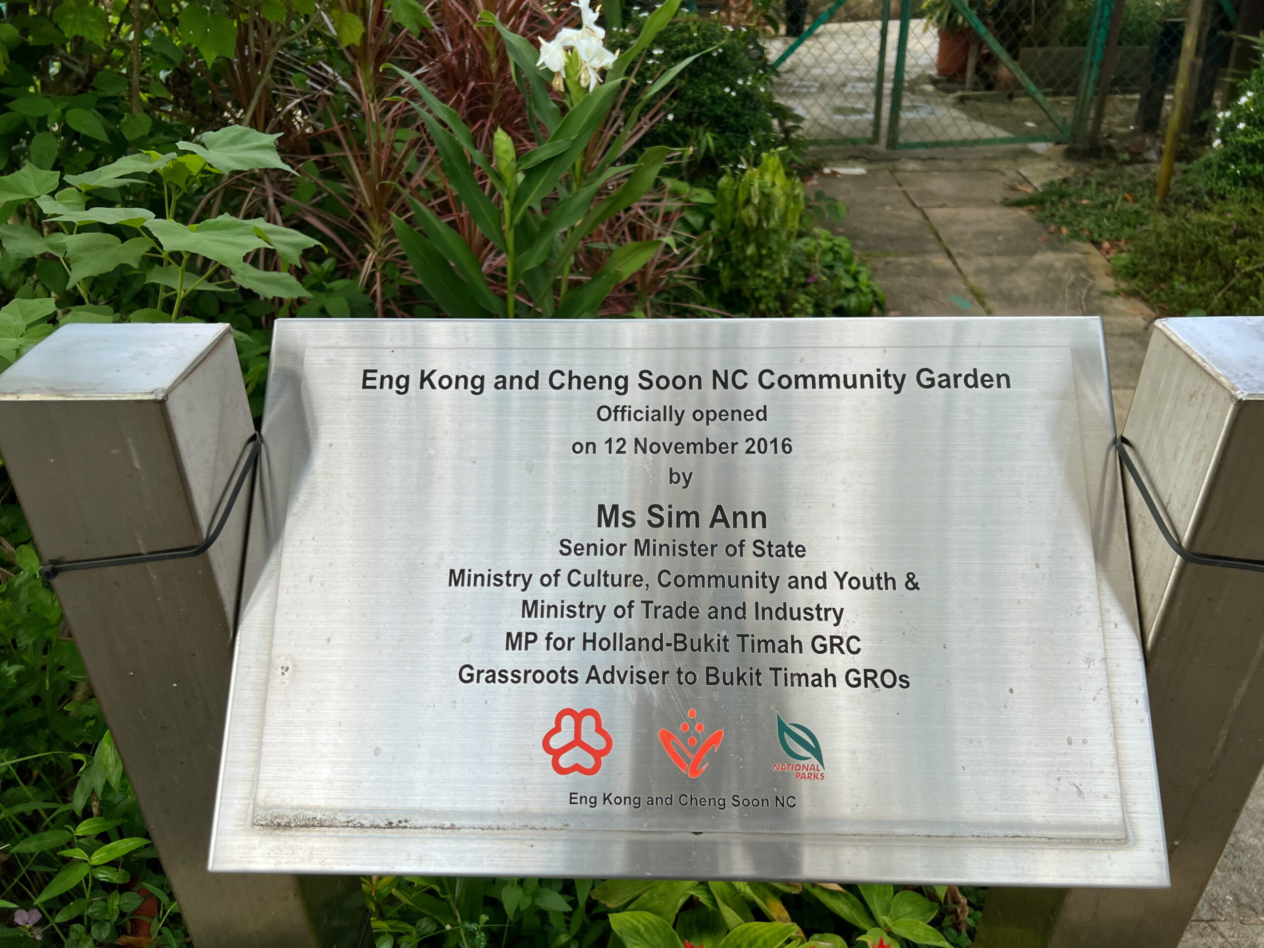
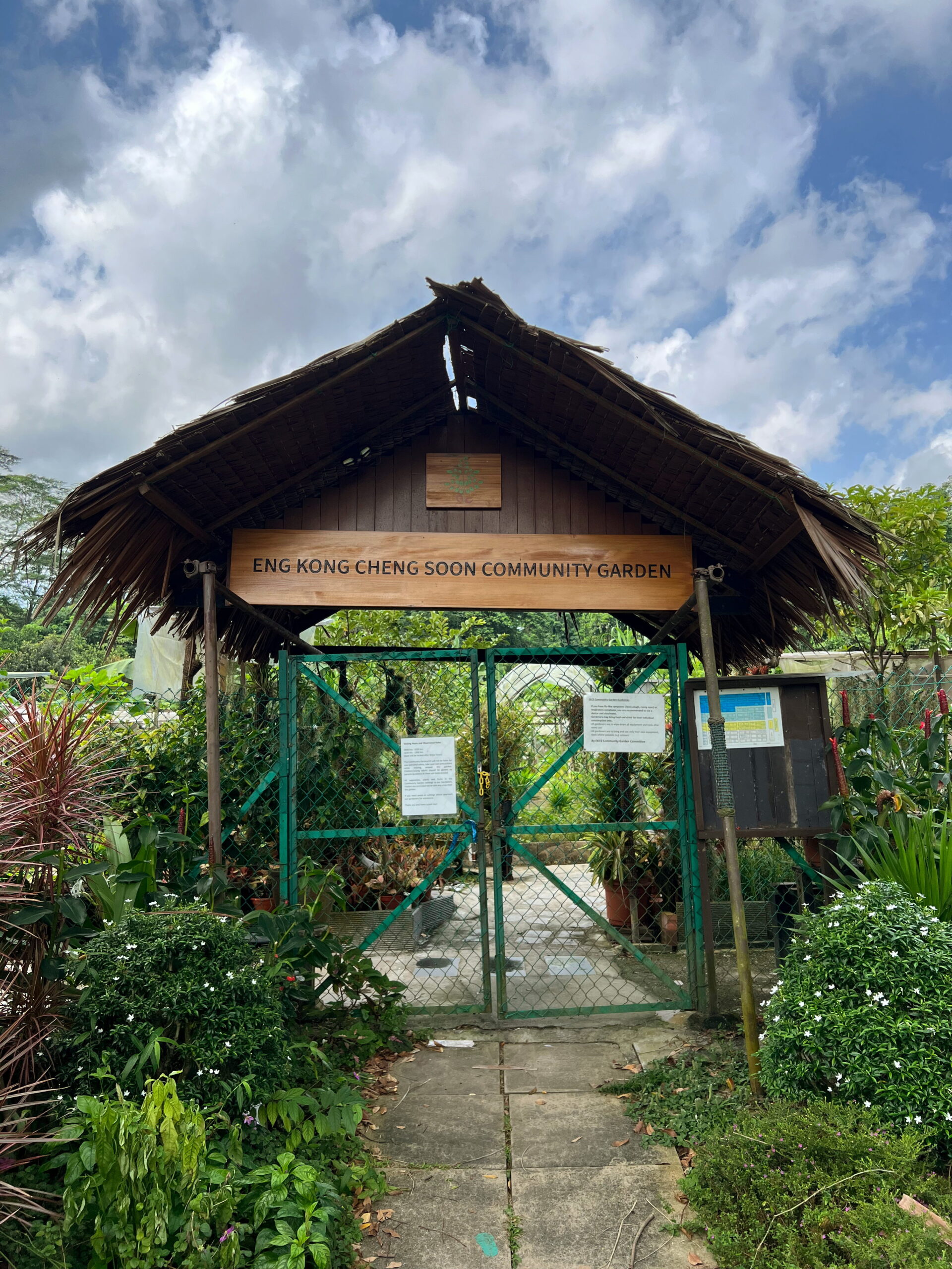
About Golden Rise estate I have even less to say than Greenridge. The only newspaper article I could find about it was a real estate advert from 1973, spouting the usual marketing guff about “new concept” luxury living. The playground wasn’t particularly interesting either, although it did come with a community garden attached, called the Eng Kong and Cheng Soon NC Community Garden.
Past the playground and community garden I found myself very briefly back on Lorong Kismis, for the last time today, turning off it onto Toh Tuck Rise. The name Toh Tuck (道德) seems to match Toh Yi earlier, and just like Toh Yi, I wasn’t able to figure out where the name comes from, except that the streets here were apparently named back in 1959, making them some of the oldest this walk.
By this point the sun was really starting to rise, it was getting hot, and if I’m honest I was starting to get a little tired, even though just 20 minutes ago I’d finished my quick break at Eng Kong Place Fitness Corner feeling absolutely fine. I breezed down Toh Tuck Rise, heading towards Toh Tuck Road, and skipping most of the estate. I don’t doubt it’s probably a nice neighbourhood, but I’d set myself a goal of getting to the other side of Toh Tuck Road in Bukit Batok and finishing my walk back at Beauty World, so I had to push on.
Toh Tuck Road
When I initially planned this walk part of me wondered whether Toh Tuck Road was walkable. Winding as it did between two patches of dense jungle, it seemed to me the sort of road that might not have any footpaths running along them. I checked and happily it did, albeit only on one side.
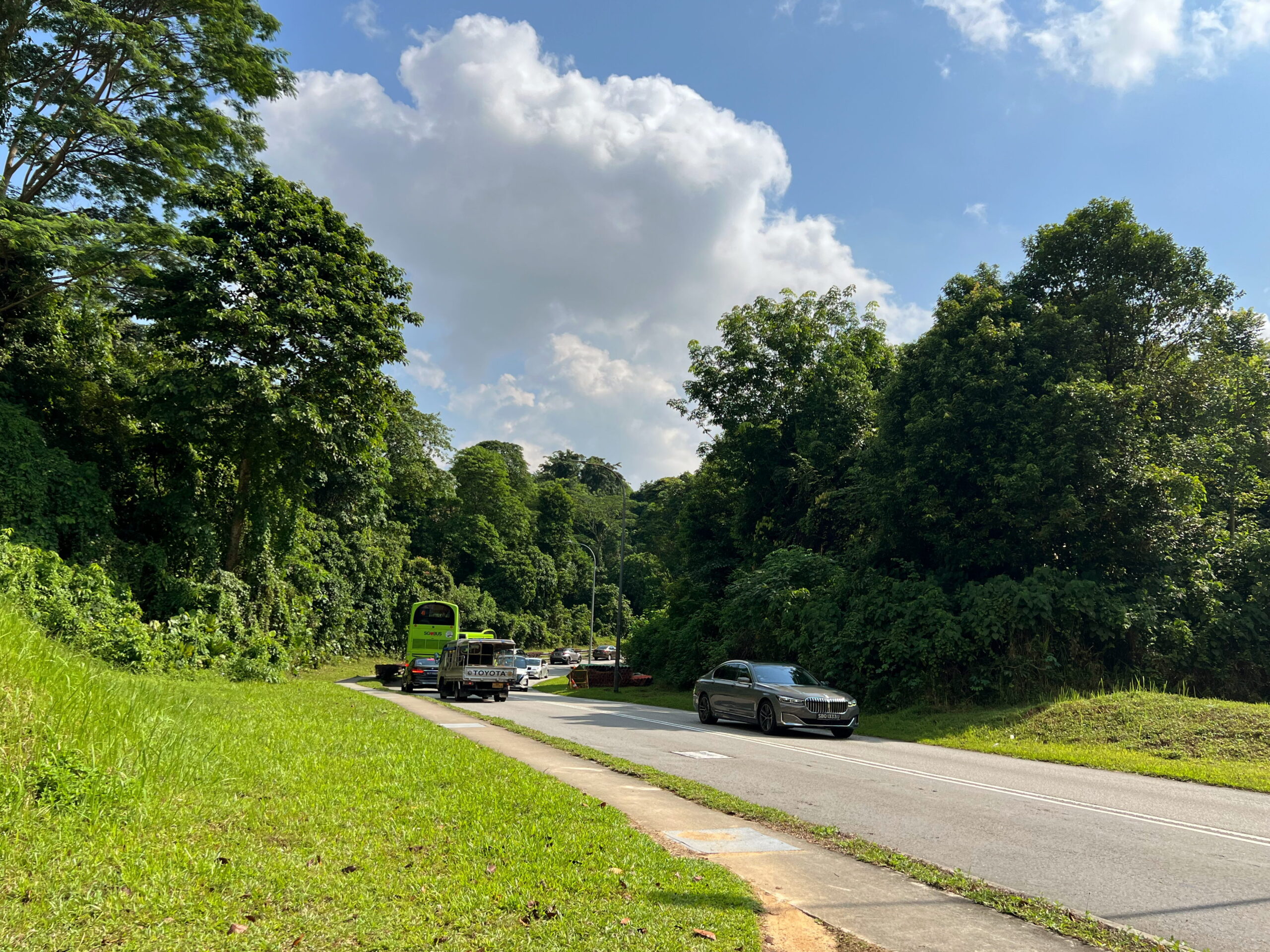
Traffic on the road was heavy, which was rather jarring since the rest of my walk so far had been relatively quiet. Indeed, it turns out there had been complaints in the past about heavy and fast-moving traffic along this road, and the danger it posed to pedestrians. I didn’t feel in any particular danger myself, but it wasn’t a very pleasant walk, and I found myself speeding up to reach the other end as quickly as possible.
It bears mentioning that this stretch of Toh Tuck Road, between two patches of jungle, is the approximate location of Sleepy Valley, which I’d mentioned earlier. Here, hundreds of men, people just like you and me, died in battle, in futile defence of the island. Some people might say the area is haunted as a result. I don’t think we should need ghost stories to feel the weight of history real and present in our everyday lives. Those men didn’t die so children can cheapen their sacrifices with silly stories told for thrills; although, maybe if it means children are acknowledging them in stories at all, it’s a lesser evil.
Burgundy Hill Estate
The walk to the other side of Toh Tuck Road was blessedly brief. Now I just had to make it through Burgundy Hill Estate. I’ll be honest. I didn’t expect to be very impressed by this little neighbourhood. By all appearances it was just another generic private housing estate with a very bourgeois aspirational name. I was mainly walking it to check off a box and add some more lines to my map, which is a good enough reason for me to do it.

The estate is one of the newest I walked through this day, having been developed only in the late 1990s. Nothing about the houses in the estate struck me as being particularly Burgundian, but then I’m not super familiar with architectural history. Pidemco Land, the company that developed the estate, apparently lost money on it, selling many properties in the estate at a loss to service its debts. The company merged with DBS Land a short while after to form CapitaLand. I had no idea this was how CapitLand came about. So that’s interesting.
I traced a vaguely S-shaped route through the estate, curving my way down Burgundy Drive, passing through Burgundy Crescent Park, heading out the other side, and following Burgundy Crescent back onto the main road. And that’s that. That’s my visit to Burgundy Hill done.
Highgate Park
This was it. The home stretch. The sun was properly up by now, and even though I wasn’t really tired yet, I knew it wouldn’t take long before the work turned into an actual slog. All the same, I didn’t want to take too many shortcuts. I’d planned a route, and intended to stick to it. Just, maybe a bit faster.
Leaving Burgundy Hill, I turned around and headed right back where I came from, up Toh Tuck Road again, this time in the opposite direction. Walking quickly, I passed Toh Tuck Rise, Toh Tuck Place, and Toh Tuck Crescent on my right, before reaching a street marked Highgate Walk.
Highgate is apparently one of the most expensive suburbs in London. I’d apparently been there once myself, without realising it, when I went for a walk in Hampstead Heath while in London in 2019. The developers of Highgate Park estate in Singapore no doubt hoped to capitalise on the same middle class aspirations that drove Savoy Park and Burgundy Hill.
Highgate Park seemed to have been developed earlier than these two other estates, judging by this newspaper article in 1991 describing how all the houses in the estate had been sold, and the developer was looking to put up a condominium as well, next door.


The estate comprised a single loop formed around a small playground in the centre. Both the playground and the houses in the neighbourhood nice enough. I was more fascinated by the funnel-shaped water tower rising very prominently over the houses at the western end of the estate. This apparently stood just within the entrance of the Highgate condominium next door. I don’t know of many other water towers in residential estates, other than the iconic one on Portsdown Road.
In any case, I completed one loop of the estate, and was off, back onto Toh Tuck Road.
Jalan Jurong Kechil
At the time I did this walk in October 2023, there was quite a bit of construction going on along the stretch of Toh Tuck Road between Highgate Walk and Jalan Jurong Kechil. I think it might have been a new condominium going up. This made this part of the walk a rather unpleasant one, and coupled with the growing heat, I was quite ready to get it over and done with as quickly as possible. The upside to this is, no photos.
I eventually reached Jalan Jurong Kechil. I won’t say very much about this road, a minor arterial road running from Jalan Anak Bukit and a PIE exit in the east, to Old Jurong Road and Bukit Batok East Avenue 6 in the northwest. I’ll save that for another time, when I’m back for another walk.

I followed Jalan Jurong Kechil a short distance northwest, before turning right into Chun Ting Road.
Chun Tin Road and the Lorong Pisangs
Chun Ting Road was one of the last streets I would walk today named after a person. In this case, it’s named after a gentleman by the name of Cheong Chun Tin, who was apparently the first qualified Chinese dentist to settle in Singapore! No doubt this is a milestone, and a commendable achievement on the part of Mr Cheong himself, but I can’t help but be a little puzzled. Why a street here, in Upper Bukit Timah? His clinic was apparently in town, on South Bridge Road. Did he perhaps live here? With his sons Chin Heng and Chin Nam, who were also dentists? His son Chin nam also has streets named after him in the area: Cheong Chin Nam Road and Chin Nam Street. Yuk Tong Avenue and Tham Soong Avenue are apparently also named after family members.
In any case, I entered the housing estate along Chun Tin Road, under a unique, slightly old-fashioned sheltered walkway. Turning right, I continue down the same road, I caught sight of the two radio masts, this time at Bukit Batok, towering impressively over the estate in the near distance.


I continued this way until Yuk Tong Avenue, which I walked along for a short while, before taking the first right onto Lorong Pisang Udang. “Pisang” means “banana” in Malay, while “udang” means “shrimp” or “prawn”. Pisang Udang apparently refers to a kind of banana noteworthy for being red in colour. You can sort of imagine that a banana being a fruit that’s long and curved, if coloured red, might look a bit like a prawn, although I don’t know for sure that this is why the banana is named as such.
I headed down Lorong Pisang Udang for a short distance, passing by another Lorong Pisang, this time Lorong Pisang Hijau, “Hijau” meaning “green”. I took the next left down Lorong Pisang Asam, and headed into a medium-sized neighbourhood parked named, bafflingly, “Hoover Park”.
I have no idea how this park got its name. A search of the newspaper archives reveals articles implying that Hoover Park refers to the estate as a whole, and not only this playground. And yet nothing I’d seen so far suggested this might be the case. Half the streets in the neighbourhood were named after Cheong Chun Tin and his relatives, as I’ve mentioned. The other half were named after bananas: Lorong Pisang Udang, Hijau, and Asam, which I’ve mentioned but also Lorong Pisang Raja, Emas, and Batu. Who in the world was “Hoover”?


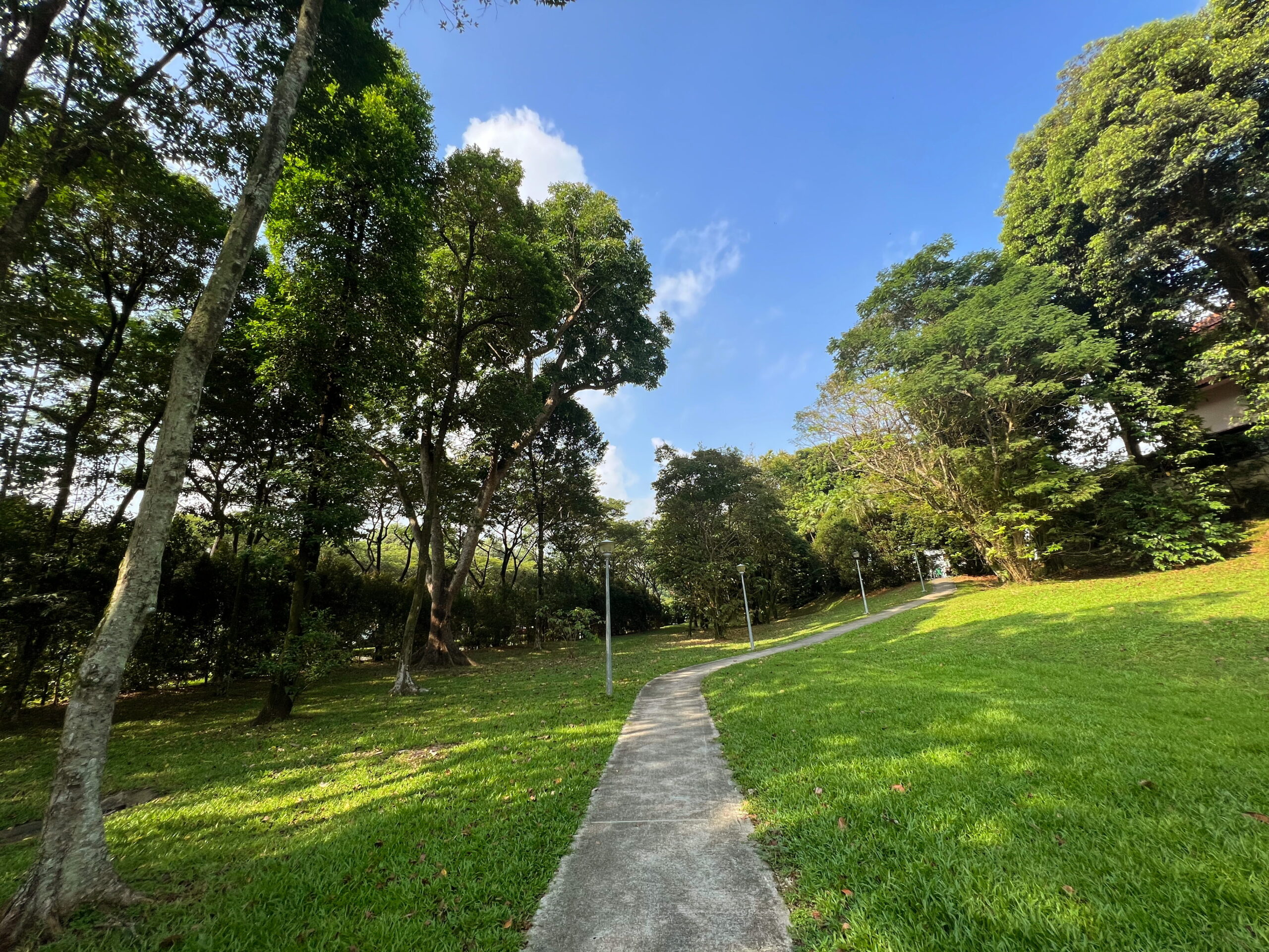
The park itself was very well shaded with some lovely, tall rain trees of the sort you seldom see anymore as old trees get chopped down for development and the new ones haven’t yet had time to grow. I found myself stopping for a break even though I didn’t really need one, and indeed was eager to reach the end.
Home stretch
With that, my walk was more or less over. I left Hoover Park along Lorong Pisang Batu heading north, then turned right down Yuk Tong Avenue, all the way down to the entrance to Beauty World MRT station on Chun Tin Road. I headed down and then up again on the other side of Upper Bukit Timah Road, and there ended my walk at Beauty World Centre.
All in all, this was an interesting little walk. Maybe not the most exciting; just a string of mostly private residential estates one after the other. But it was an easy, relaxing stroll, and I got to learn a little WWII history along the way.
Walk details
- Date: Friday, 27 October 2023
- Distance: 10.92km
- Time Taken: 2 hours 20 minutes
- Accessibility: As usual for routes heading through private housing estates, there are lots of occasions you’re forced to walk on the road as footpaths are obstructed by plants and parked cars jutting out of driveways. There is no wheelchair access between the two sections of Toh Yi Road separated by stairs early in the walk. Suggest using Lorong Kismis instead. There’s unfortunately no ramp access down to Greenridge Crescent Playground, which also means there’s no ramp access to the southern end of the footpath behind the houses on Greenridge Crescent. Other parks and playgrounds are okay. Toh Tuck Road unfortunately has a footpath running down only one side of it, so that a crossing is needed at the end of Toh Tuck Rise. This may be tricky with faster moving traffic on Toh Tuck Road. Suggest either skipping Burgundy Hill to remove the need to head down Toh Tuck Road that way, or else detour slightly east on Toh Tuck Road to cross where there’s more visibility.
Download KML file for Beauty World, Toh Yi, Eng Kong, Cheng Soon, and environs walk
Leave a Reply